Pirep is a free, collaborative database of all public and private airports. All pilots are welcome to contribute their local knowledge to any airport, no registration required.

Public
Undocumented
METAR / TAF
Webcam
Edit Tags
No upcoming events. Is anything happening here soon?
Airport Statistics
- Crew car availability
- Local flying clubs
- Tags
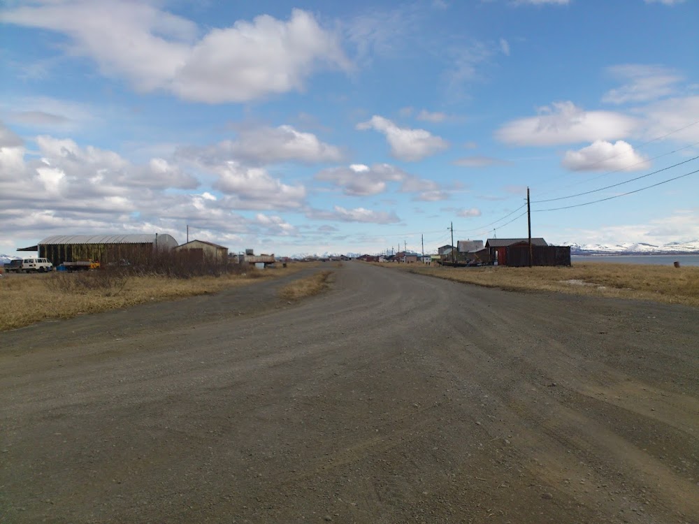
Location:
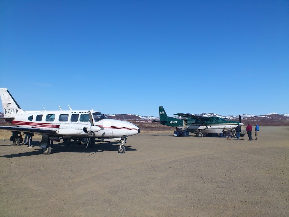
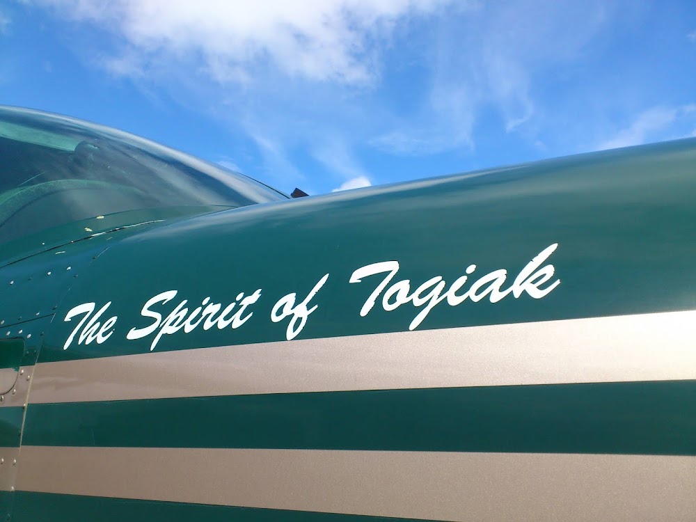
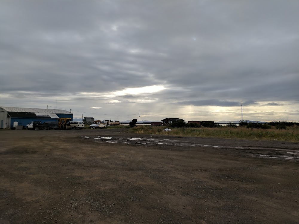
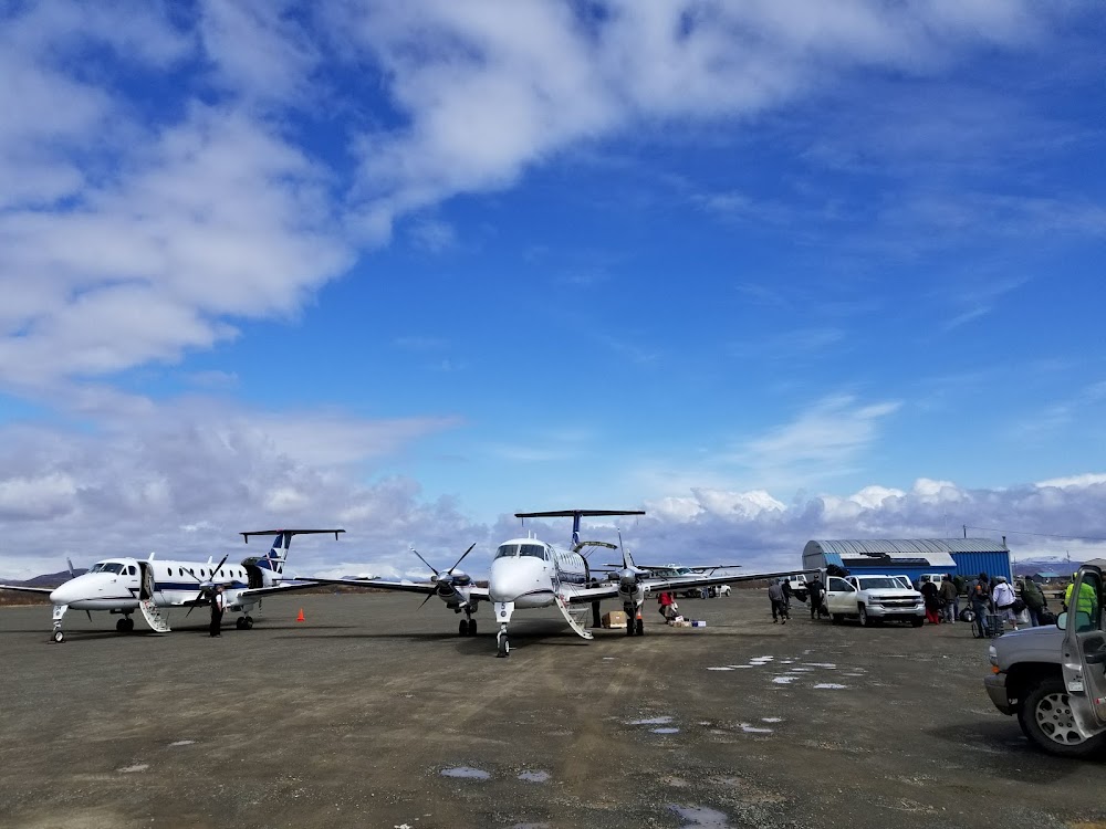
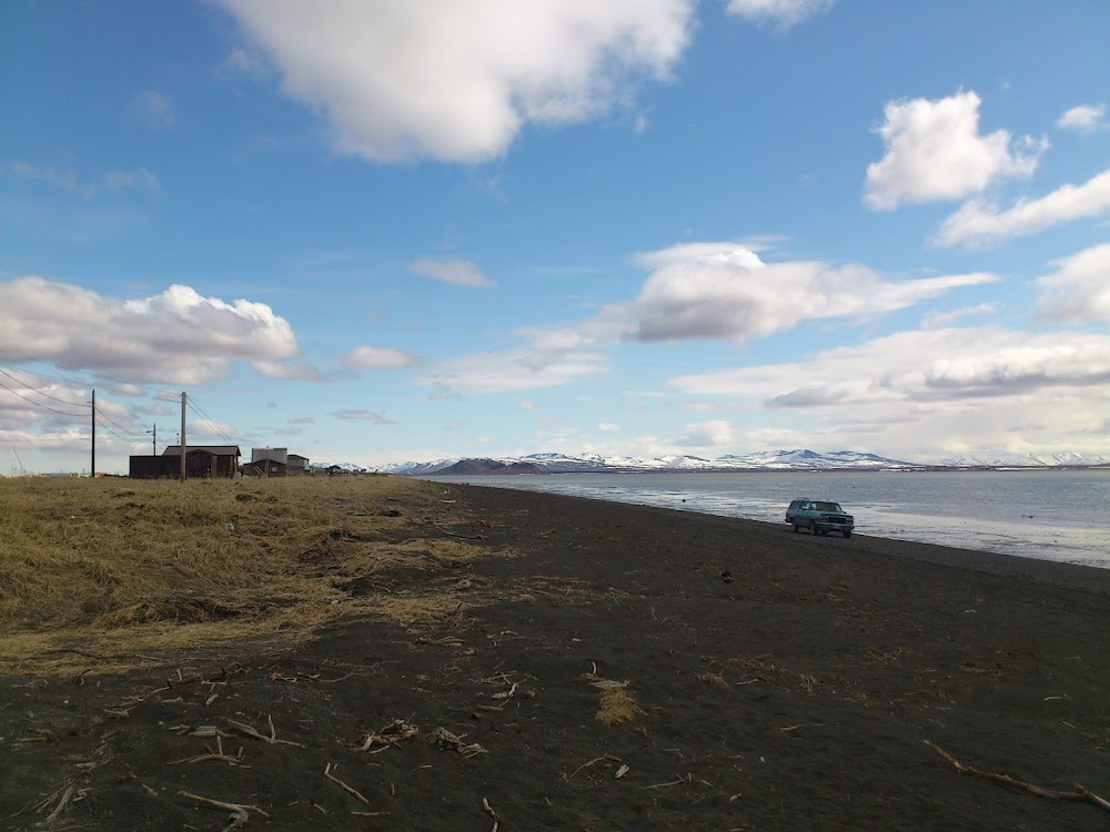
Togiak Village, AK
Elevation:
18ft
Sectional:
Kodiak
Activation date:
Aug 1975
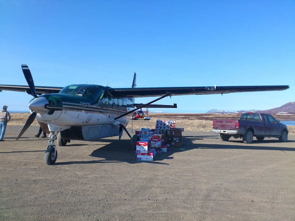
Fuel:
None
Runway 03/21:
4,400ft
Runway 10/28:
982ft
Access: Open to the public
Current Weather — MVFR
-
Weather data is strictly informational and not for flight planning purposes.
-
METAR2026-07-15 17:56:00 AKDT
Ceiling: 2,600ft Wind: 200° @ 13kt Temperature: 50°F Dewpoint: 46°F Weather: N/A Visbility: 10SM Clouds: Broken @ 2,600ft Raw:METAR PATG 160156Z AUTO 20013KT 10SM BKN026 10/08 A3025 RMK AO2 SLP244 T01000078
Click/tap to add an annotation marker to the map
Remarks
- Actvt rotg bcn - ctaf.
- Rwy cond unmnt, rcmd visual insp bfr use.
- wx cameras avbl on internet at https://weathercams.faa.gov
- Waterfowl invof arpt.
- Rwy 10/28 thld markers damaged or missing.
- Actvt papi rwy 03 & 21; mirl rwy 03/21 - ctaf.
- Segmented circle damaged & overgrown with vegetation.
- +15 ft.
Comments