Pirep is a free, collaborative database of all public and private airports. All pilots are welcome to contribute their local knowledge to any airport, no registration required.

Public
Undocumented
METAR / TAF
Edit Tags
No upcoming events. Is anything happening here soon?
Airport Statistics
- Tags
- Airport photos
- Crew car availability
Location:
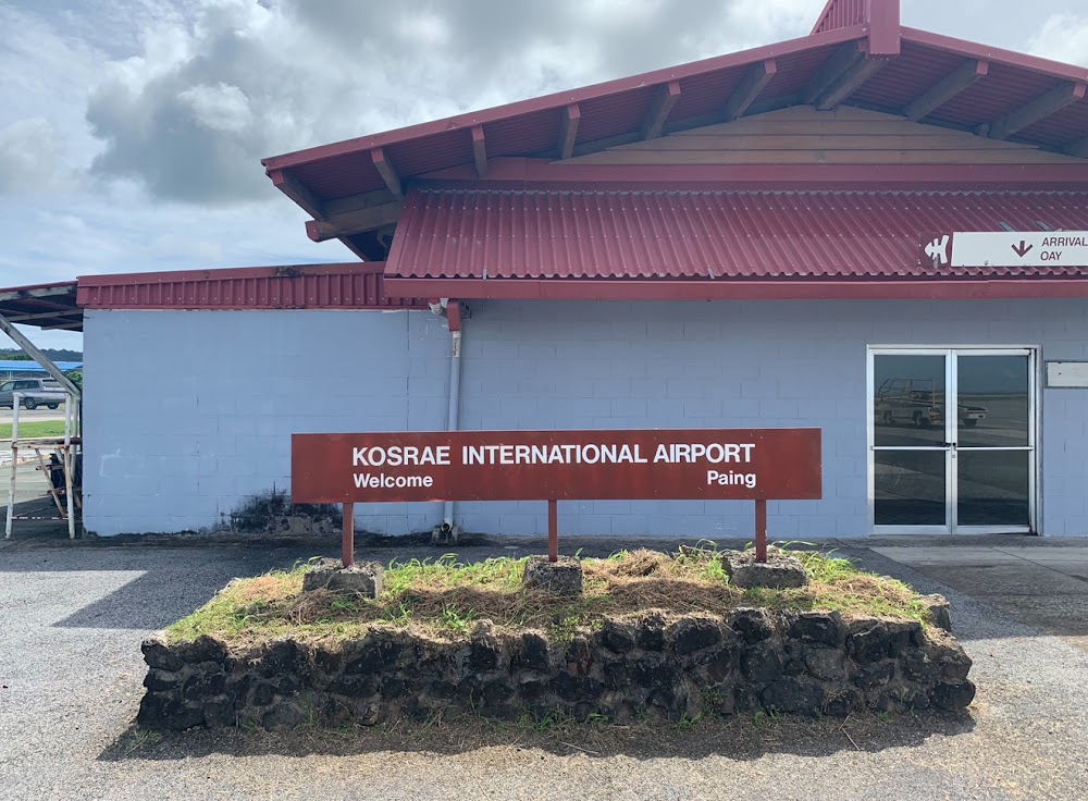
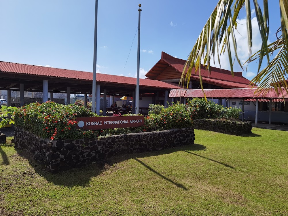
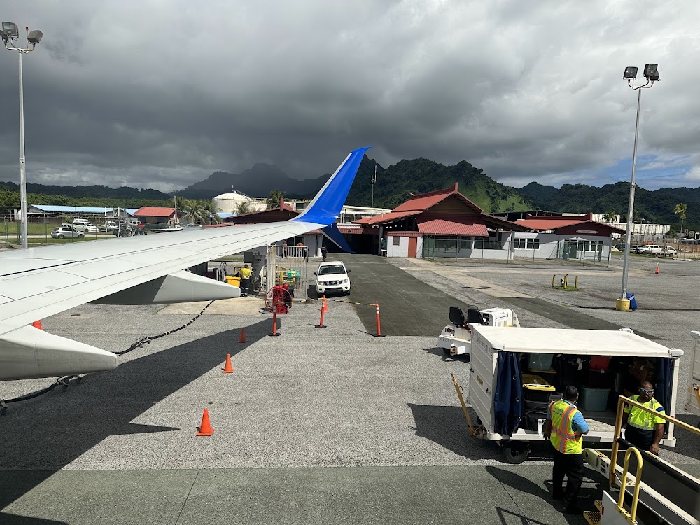
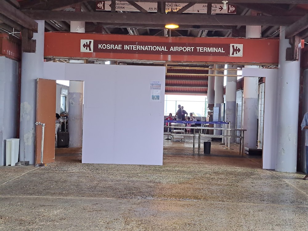
Kosrae, FM
Elevation:
11ft
Sectional:
Gnc Seven
Activation date:
Jan 1984
Fuel:
A1 (prices)
Runway 05/23:
5,752ft
Access: Open to the public
Click/tap to add an annotation marker to the map
No webcams added yet.
Remarks
- Flt plan must be filed 12 hrs prior to eta; incl pohnepi intl (ptpn) as address of flt plan.
- Ship vessels with masts as high as 200 ft above sea level may be traversing harbor entrance lctd south of ry.
- Unmkd/unlgtd trrn at elev 797' msl lctd aprxly 7200' se of arpt.
- Ppr for landing to be filed 48 hr in advance with fsm secretary of transportation, communications & infrastructure
- Please see fsm dotc&i: div. of civil aviation's website for procedures and forms used to request ppr into fsm; http://www.ict.fm/civilaviation/forms.html.
- Actvt mirl ry 05/23, papi and reil rys 05 & 23 - ctaf.
- For fuel transient aircraft must make prior arrangements by calling (691) 370-2477.
- Grooved full length.
Comments