Pirep is a free, collaborative database of all public and private airports. All pilots are welcome to contribute their local knowledge to any airport, no registration required.

No upcoming events. Is anything happening here soon?
Last updated: 2023-11-13 03:32:31 EST
Airport Statistics
- Crew car availability
- Webcam links
- Airport photos
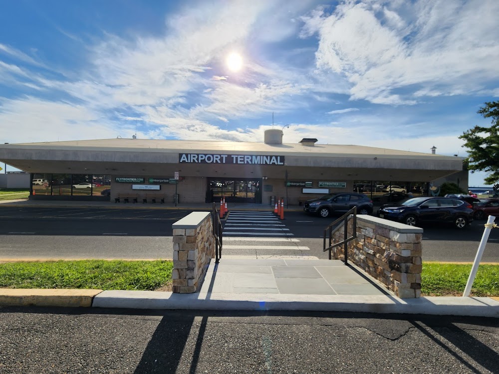
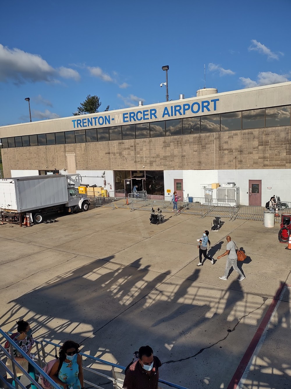
Location:
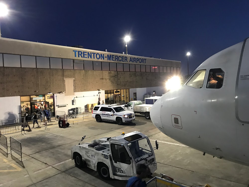
Trenton, NJ
Elevation:
212ft
Sectional:
New York
Activation date:
Mar 1943
Fuel:
100LL, A, A+ (prices)
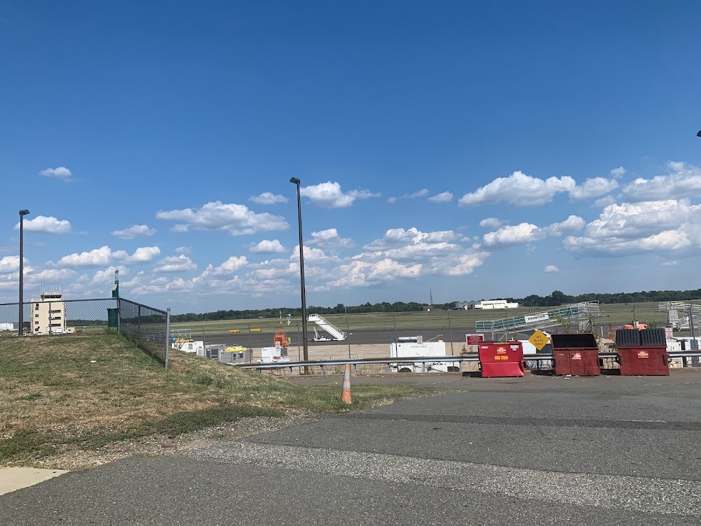
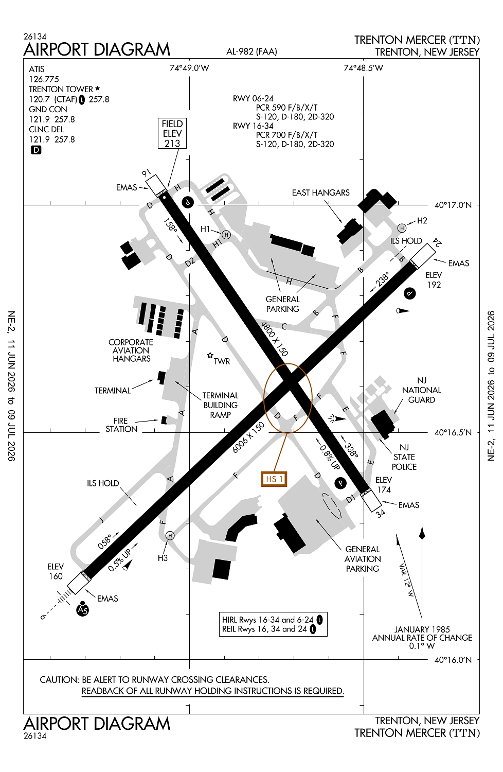
Runway 06/24:
6,006ft
Runway 16/34:
4,800ft
Runway H1:
64ft
Runway H2:
64ft
Runway H3:
64ft
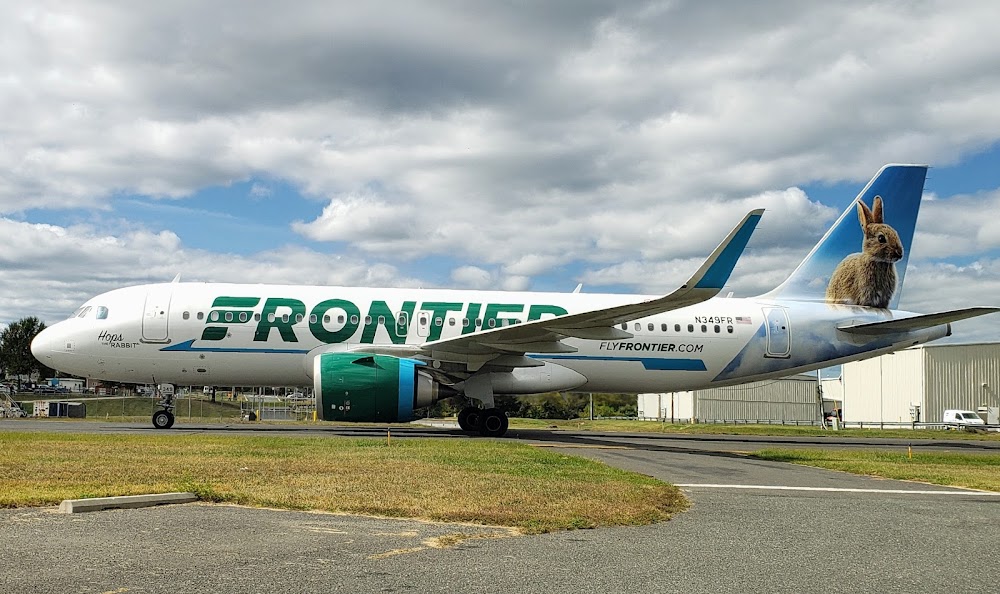
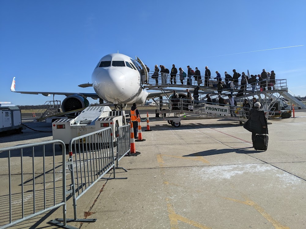
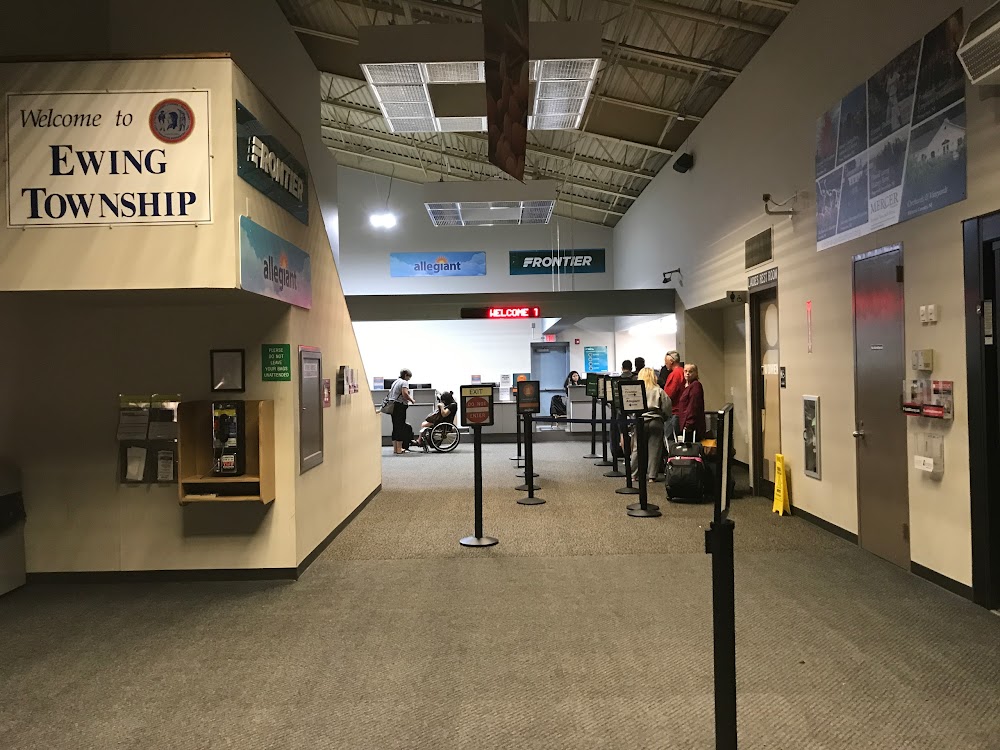
Access: Open to the public
Similar Airports

Current Weather — VFR
-
Weather data is strictly informational and not for flight planning purposes.
-
METAR2026-07-29 13:53:00 EDT
Ceiling: 4,900ft Wind: 290° @ 7kt Temperature: 80°F Dewpoint: 64°F Weather: N/A Visbility: 10SM Clouds: Few @ 3,900ft, Broken @ 4,900ft, Overcast @ 7,500ft Raw:METAR KTTN 291753Z 29007KT 10SM FEW039 BKN049 OVC075 27/18 A2959 RMK AO2 SLP012 T02720178 10272 20206 51002 -
TAF2026-07-29 14:00:00 EDT – 2026-07-29 19:00:00 EDT
Ceiling: 5,000ft Wind: 300° @ 8kt, gusts 16kt Weather: N/A Visbility: 6SM Clouds: Broken @ 5,000ft Raw:TAF KTTN 291819Z 2918/3018 30008G16KT P6SM BKN050 FM292300 30008KT P6SM VCSH BKN060 FM300500 29007KT P6SM BKN035 PROB30 3007/3010 5SM -SHRA BR OVC025 FM301500 33012G20KT P6SM BKN035 -
TAF2026-07-29 19:00:00 EDT – 2026-07-30 01:00:00 EDT
Ceiling: 6,000ft Wind: 300° @ 8kt Weather: Showers in vicinity Visbility: 6SM Clouds: Broken @ 6,000ft Raw:TAF KTTN 291819Z 2918/3018 30008G16KT P6SM BKN050 FM292300 30008KT P6SM VCSH BKN060 FM300500 29007KT P6SM BKN035 PROB30 3007/3010 5SM -SHRA BR OVC025 FM301500 33012G20KT P6SM BKN035 -
TAF2026-07-30 01:00:00 EDT – 2026-07-30 11:00:00 EDT
Ceiling: 3,500ft Wind: 290° @ 7kt Weather: N/A Visbility: 6SM Clouds: Broken @ 3,500ft Raw:TAF KTTN 291819Z 2918/3018 30008G16KT P6SM BKN050 FM292300 30008KT P6SM VCSH BKN060 FM300500 29007KT P6SM BKN035 PROB30 3007/3010 5SM -SHRA BR OVC025 FM301500 33012G20KT P6SM BKN035 -
TAF2026-07-30 03:00:00 EDT – 2026-07-30 06:00:00 EDT
Ceiling: 2,500ft Wind: 000° @ kt Weather: Light rain showers, mist Visbility: 5SM Clouds: Overcast @ 2,500ft Raw:TAF KTTN 291819Z 2918/3018 30008G16KT P6SM BKN050 FM292300 30008KT P6SM VCSH BKN060 FM300500 29007KT P6SM BKN035 PROB30 3007/3010 5SM -SHRA BR OVC025 FM301500 33012G20KT P6SM BKN035 -
TAF2026-07-30 11:00:00 EDT – 2026-07-30 14:00:00 EDT
Ceiling: 3,500ft Wind: 330° @ 12kt, gusts 20kt Weather: N/A Visbility: 6SM Clouds: Broken @ 3,500ft Raw:TAF KTTN 291819Z 2918/3018 30008G16KT P6SM BKN050 FM292300 30008KT P6SM VCSH BKN060 FM300500 29007KT P6SM BKN035 PROB30 3007/3010 5SM -SHRA BR OVC025 FM301500 33012G20KT P6SM BKN035
Click/tap to add an annotation marker to the map
No webcams added yet.
Remarks
- Geese & flocks of sea gulls & deer on & invof arpt.
- Noise abatement procs in efct; deps over 12500 lbs fly ry heading until 1700 ft msl; deps under 12500 lbs fly ry heading until 1200 ft msl.
- No tgl or training opns 2200-0700.
- For cd when atct is clsd ctc phl apch at (800) 354-9884.
- Voluntary curfew 0000-0600 lcl.
Comments