Pirep is a free, collaborative database of all public and private airports. All pilots are welcome to contribute their local knowledge to any airport, no registration required.


Public
Undocumented
METAR / TAF
Edit Tags
No upcoming events. Is anything happening here soon?
Airport Statistics
- Webcam links
- Crew car availability
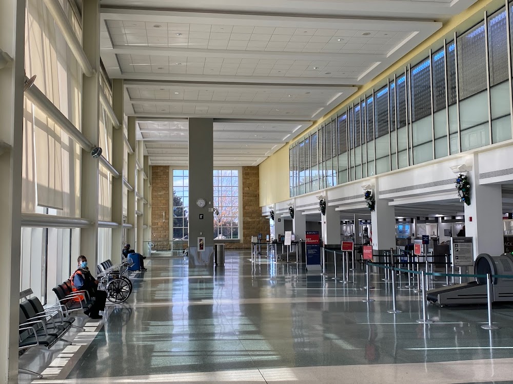
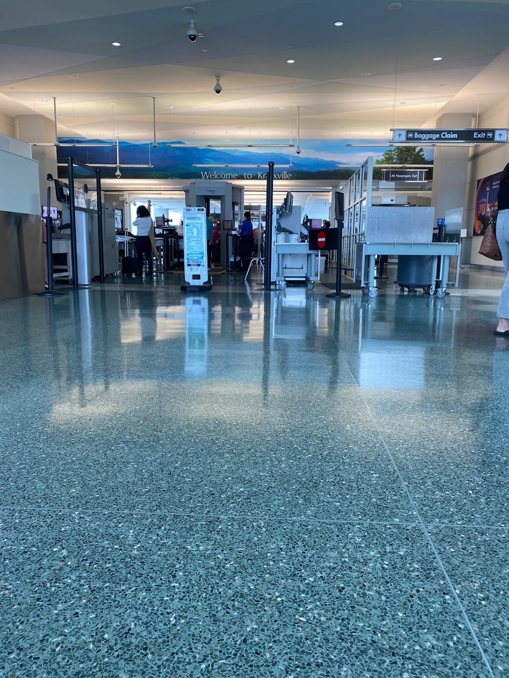
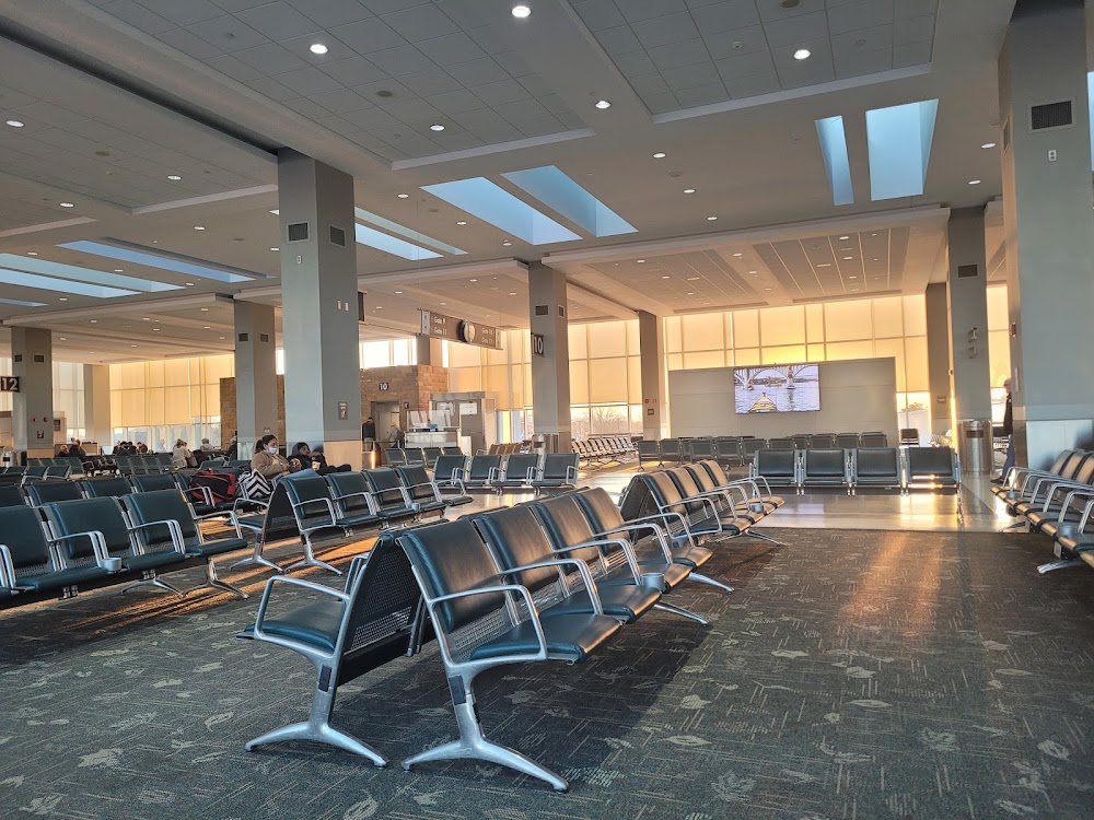
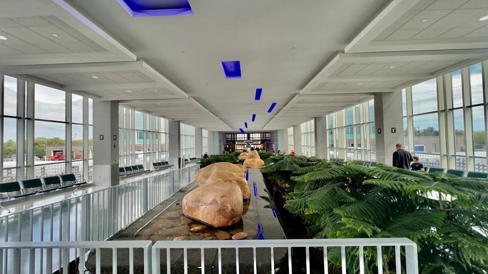
- General description
Location:
Knoxville, TN
Elevation:
986ft
Sectional:
Atlanta
Activation date:
Jan 1970
Fuel:
100LL, A, A++ (prices)
Runway 05L/23R:
10,000ft
Runway 05R/23L:
9,000ft
Access: Open to the public
Current Weather — VFR
-
Weather data is strictly informational and not for flight planning purposes.
-
METAR2026-07-15 20:53:00 EDT
Ceiling: Sky clear Wind: 070° @ 3kt Temperature: 84°F Dewpoint: 69°F Weather: N/A Visbility: 10SM Clouds: Few @ 5,500ft, Few @ 8,000ft, Scattered @ 25,000ft Raw:METAR KTYS 160053Z 07003KT 10SM FEW055 FEW080 SCT250 29/21 A3005 RMK AO2 SLP162 T02890211 $ -
TAF2026-07-15 20:00:00 EDT – 2026-07-16 11:00:00 EDT
Ceiling: 25,000ft Wind: Variable Weather: N/A Visbility: 6SM Clouds: Scattered @ 4,500ft, Scattered @ 7,000ft, Broken @ 25,000ft Raw:TAF KTYS 152337Z 1600/1624 VRB05KT P6SM SCT045 SCT070 BKN250 TEMPO 1609/1612 4SM BR FM161500 VRB04KT P6SM BKN150 -
TAF2026-07-16 05:00:00 EDT – 2026-07-16 08:00:00 EDT
Ceiling: Sky clear Wind: 000° @ kt Weather: Mist Visbility: 4SM Raw:TAF KTYS 152337Z 1600/1624 VRB05KT P6SM SCT045 SCT070 BKN250 TEMPO 1609/1612 4SM BR FM161500 VRB04KT P6SM BKN150 -
TAF2026-07-16 11:00:00 EDT – 2026-07-16 20:00:00 EDT
Ceiling: 15,000ft Wind: Variable Weather: N/A Visbility: 6SM Clouds: Broken @ 15,000ft Raw:TAF KTYS 152337Z 1600/1624 VRB05KT P6SM SCT045 SCT070 BKN250 TEMPO 1609/1612 4SM BR FM161500 VRB04KT P6SM BKN150
Click/tap to add an annotation marker to the map

No webcams added yet.
Remarks
- Ang base ops 0730-1700 mon-fri; ppr - d266-4601/4605.
- Birds on & invof of arpt; incrd oct-apr.
- Civil ppr to use twys g1, g2, g3 & g south of twy g4 - ang 865-336-4371.
- Rwy 23l & 23r dep mntn rwy hdg until passing residential area s of extdd cntrln unless instrd by atc.
- Wide body use ctn turning onto twy a fm ramp 4, 5 & 6.
Comments