Pirep is a free, collaborative database of all public and private airports. All pilots are welcome to contribute their local knowledge to any airport, no registration required.
No upcoming events. Is anything happening here soon?
Last updated: 2023-03-07 00:18:47 MST
Last updated: 2023-03-07 00:19:03 MST
Airport Statistics
Location:
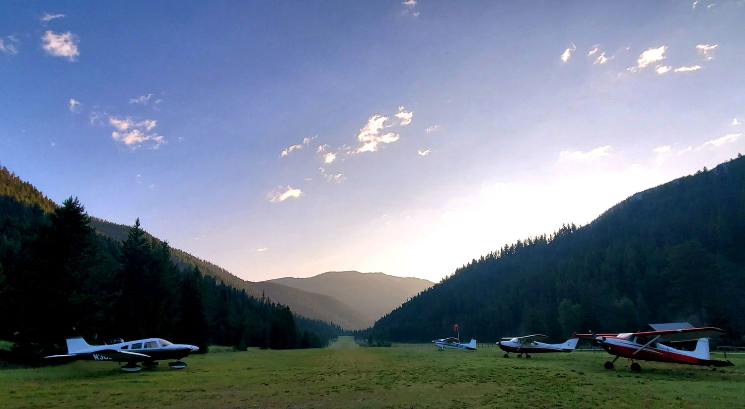
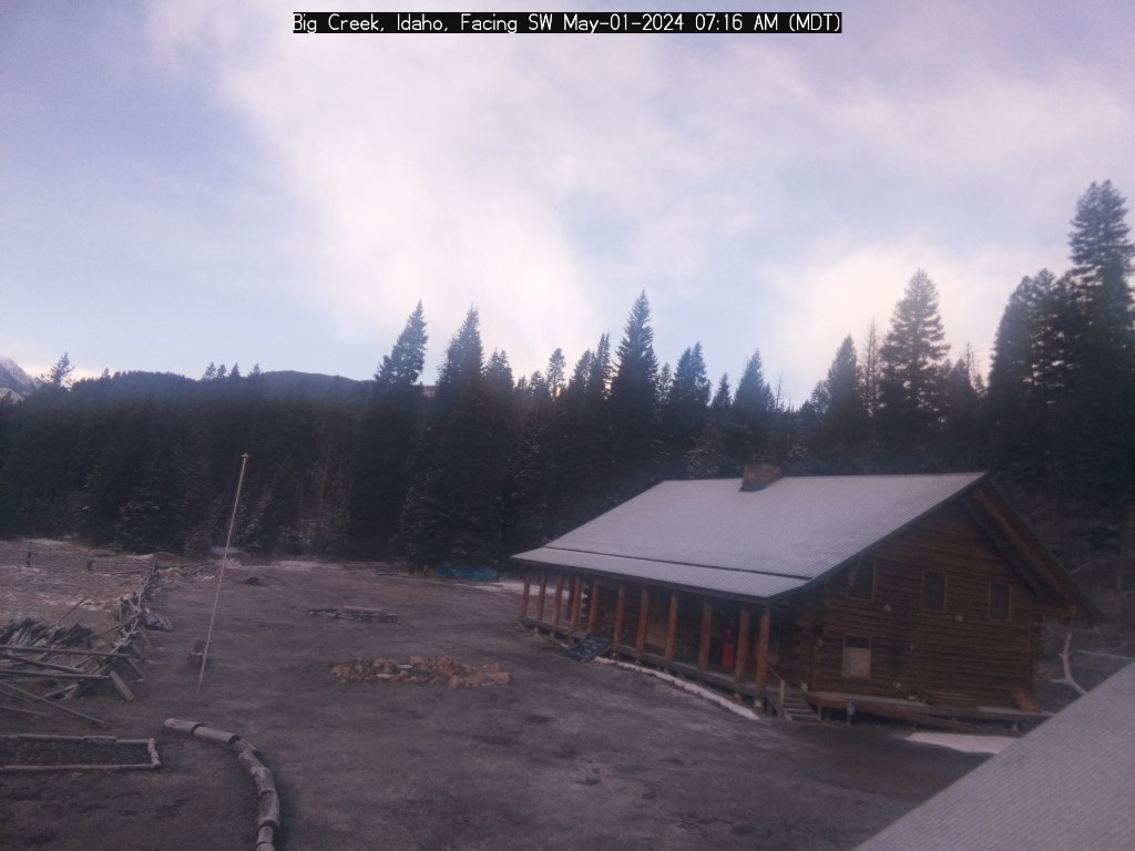
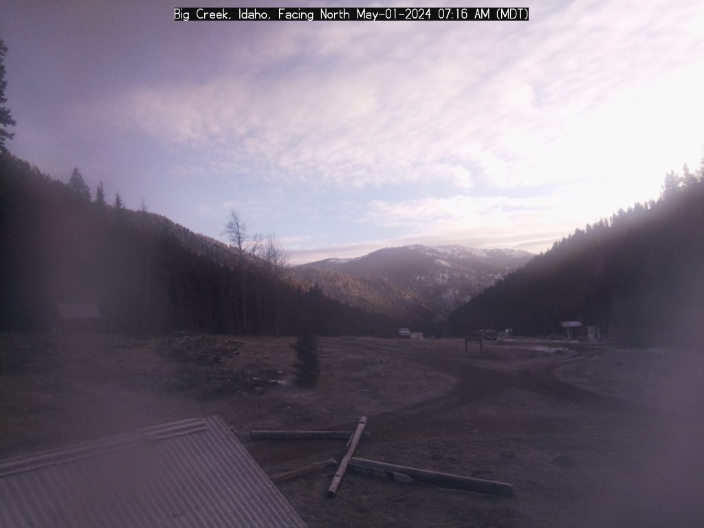
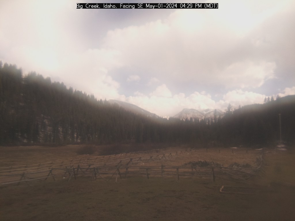
Big Creek, ID
Elevation:
5,743ft
Sectional:
Great Falls
Activation date:
May 1947
Fuel:
None
Runway 01/19:
3,550ft
Access: Open to the public
Similar Airports

Click/tap to add an annotation marker to the map
Remarks
- Open to ski eqptd acft in wint; acft use sides of rwy durg ski ops.
- Be alert for sprinklers on ry.
- No winter maintenance.
- +30' to +60' trees adj to both ry edges & ry ends.
- No telephone avbl at arpt.
- Big game animals on & invof arpt.
- For cd ctc salt lake artcc at 801-320-2568.
- One half segmented circle midfield.
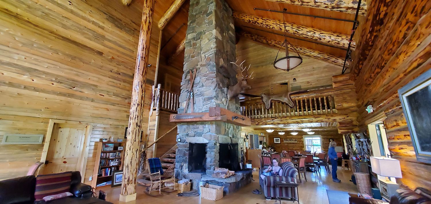
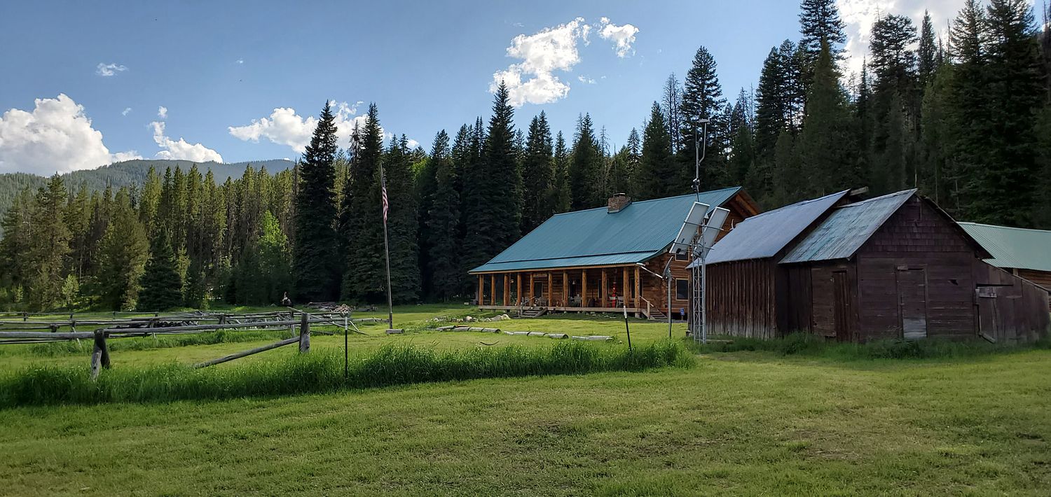
Comments