Pirep is a free, collaborative database of all public and private airports. All pilots are welcome to contribute their local knowledge to any airport, no registration required.

Public
Undocumented
Edit Tags
No upcoming events. Is anything happening here soon?
Airport Statistics
- Local flying clubs
- Transient parking location
- Airport map annotations
Location:
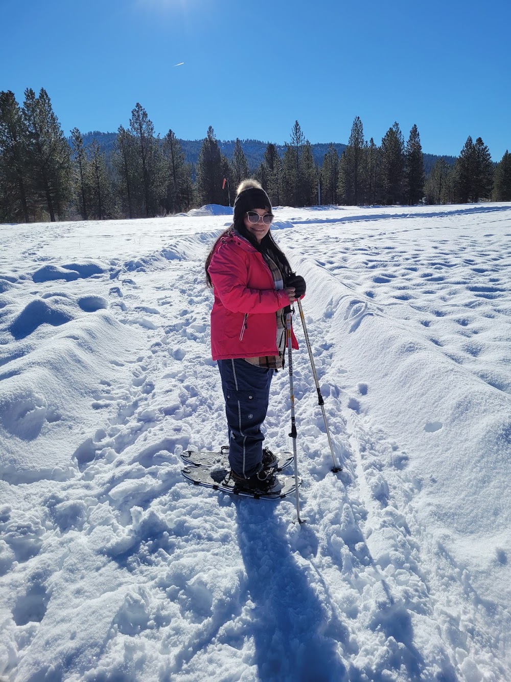
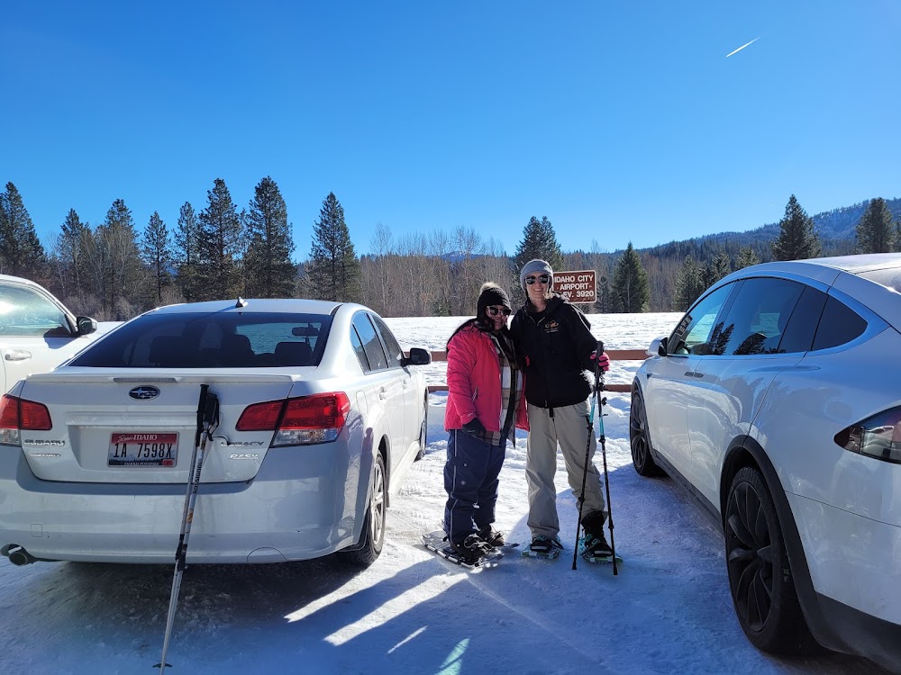
Idaho City, ID
Elevation:
3,920ft
Sectional:
Salt Lake City
Activation date:
Nov 1948
Fuel:
None
Runway 04/22:
3,400ft
Access: Open to the public
Click/tap to add an annotation marker to the map
No webcams added yet.
Remarks
- Estabd prior to 15 may 1959.
- No winter maintenance.
- Usfs helicopter opns during fire season.
- No telephone avbl at arpt.
- West 700 ft of ry is turf; remainder is grvl.
- (a52) nmrs addnl trees/obstns on apchs to rwy 04 & 22.
- For cd ctc big sky apch at 208-364-5860/5861.
- First 900 ft of rwy end 4 is turf; rmng is dirt/grvl mix.
Comments