Pirep is a free, collaborative database of all public and private airports. All pilots are welcome to contribute their local knowledge to any airport, no registration required.

Public
Undocumented
METAR / TAF
Edit Tags
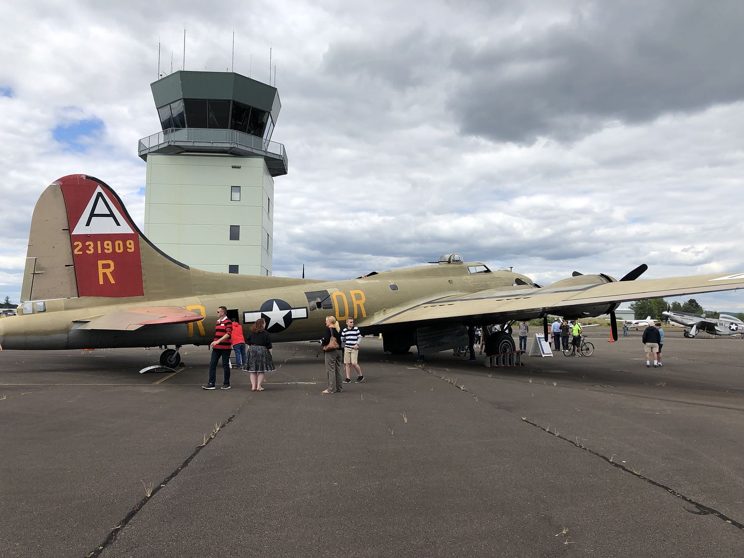
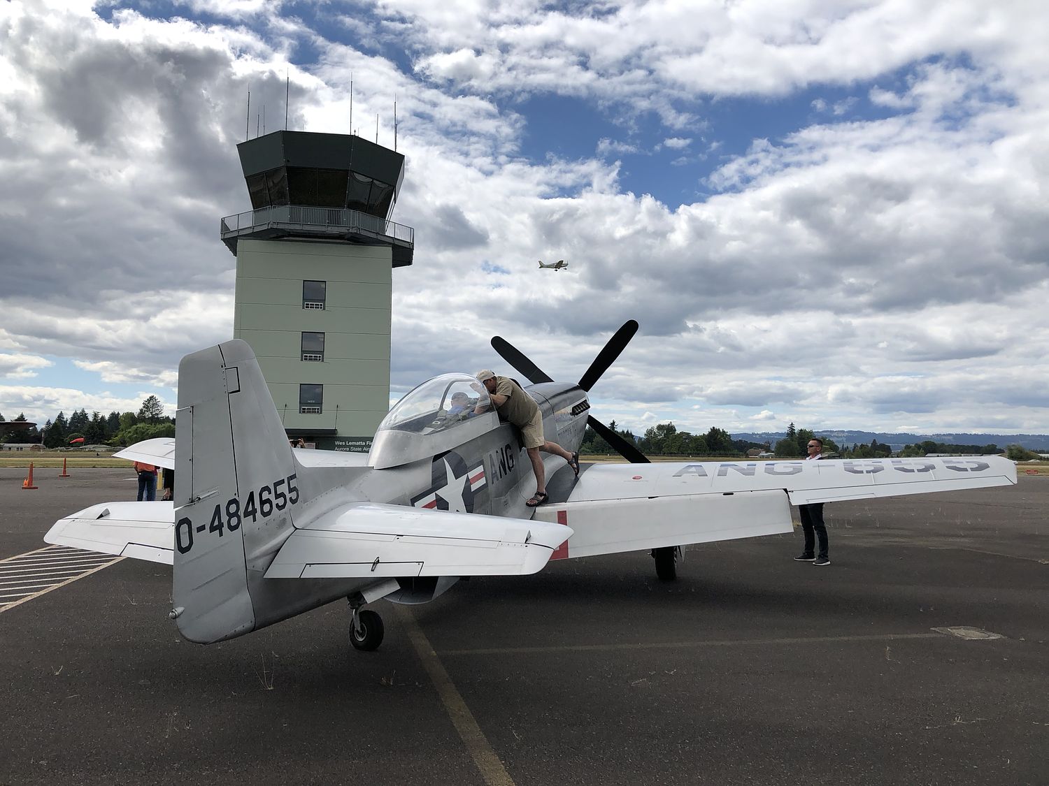
No upcoming events. Is anything happening here soon?
Airport Statistics
- Webcam links
- Local flying clubs
- Crew car availability
Location:
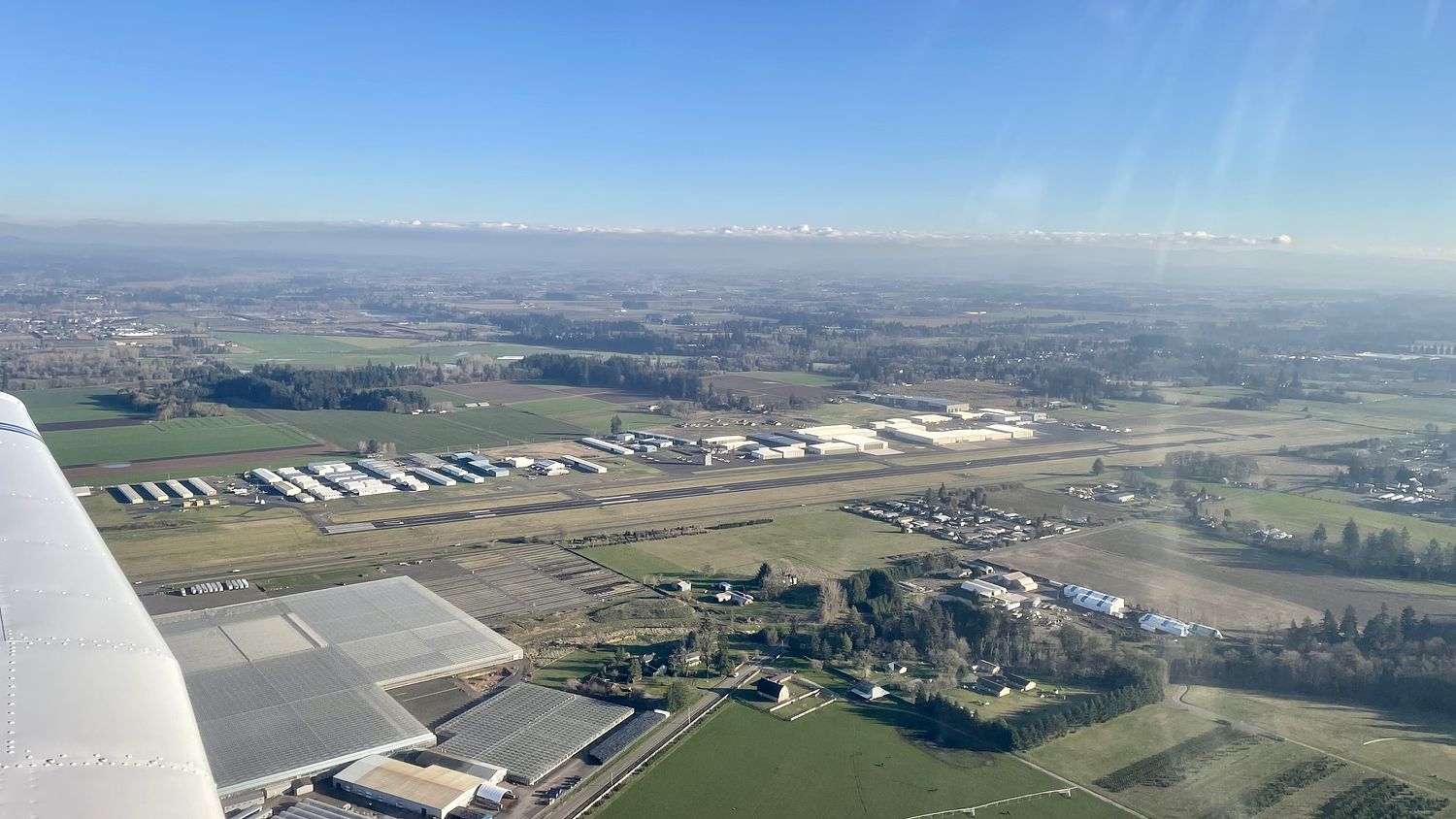
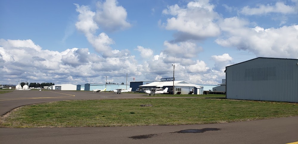
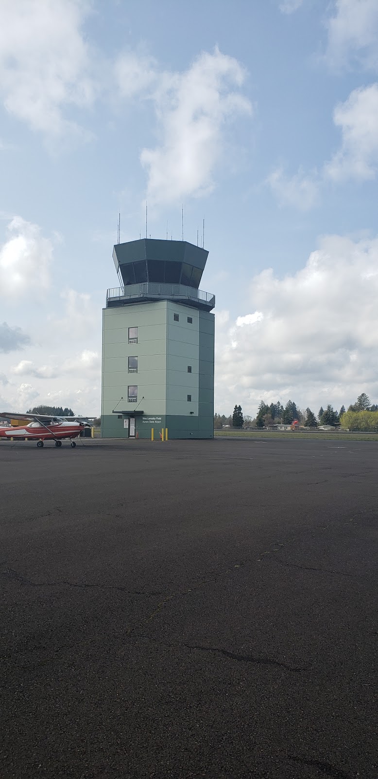
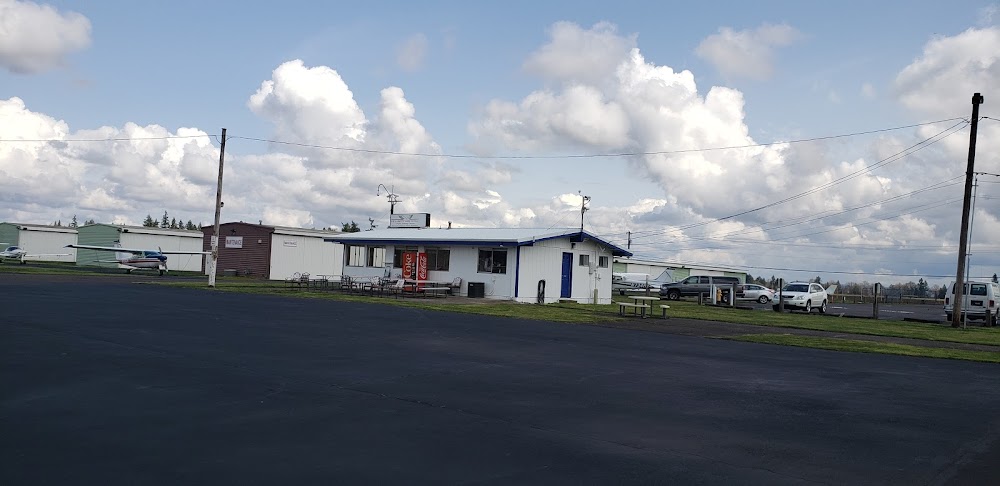
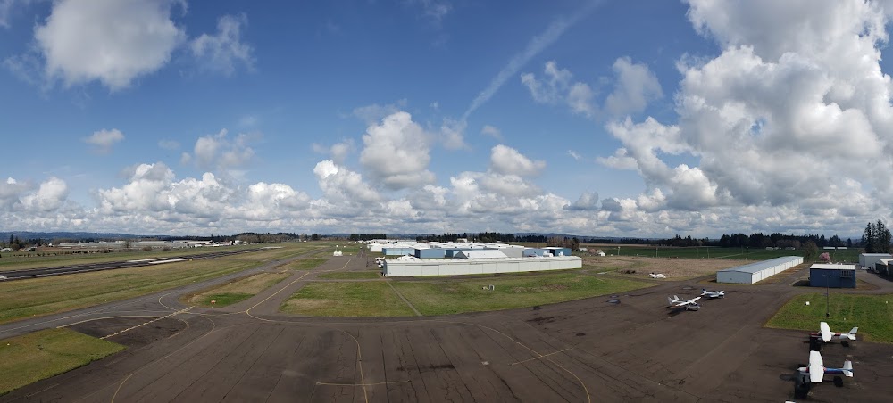
Aurora, OR
Elevation:
199ft
Sectional:
Seattle
Activation date:
Dec 1943
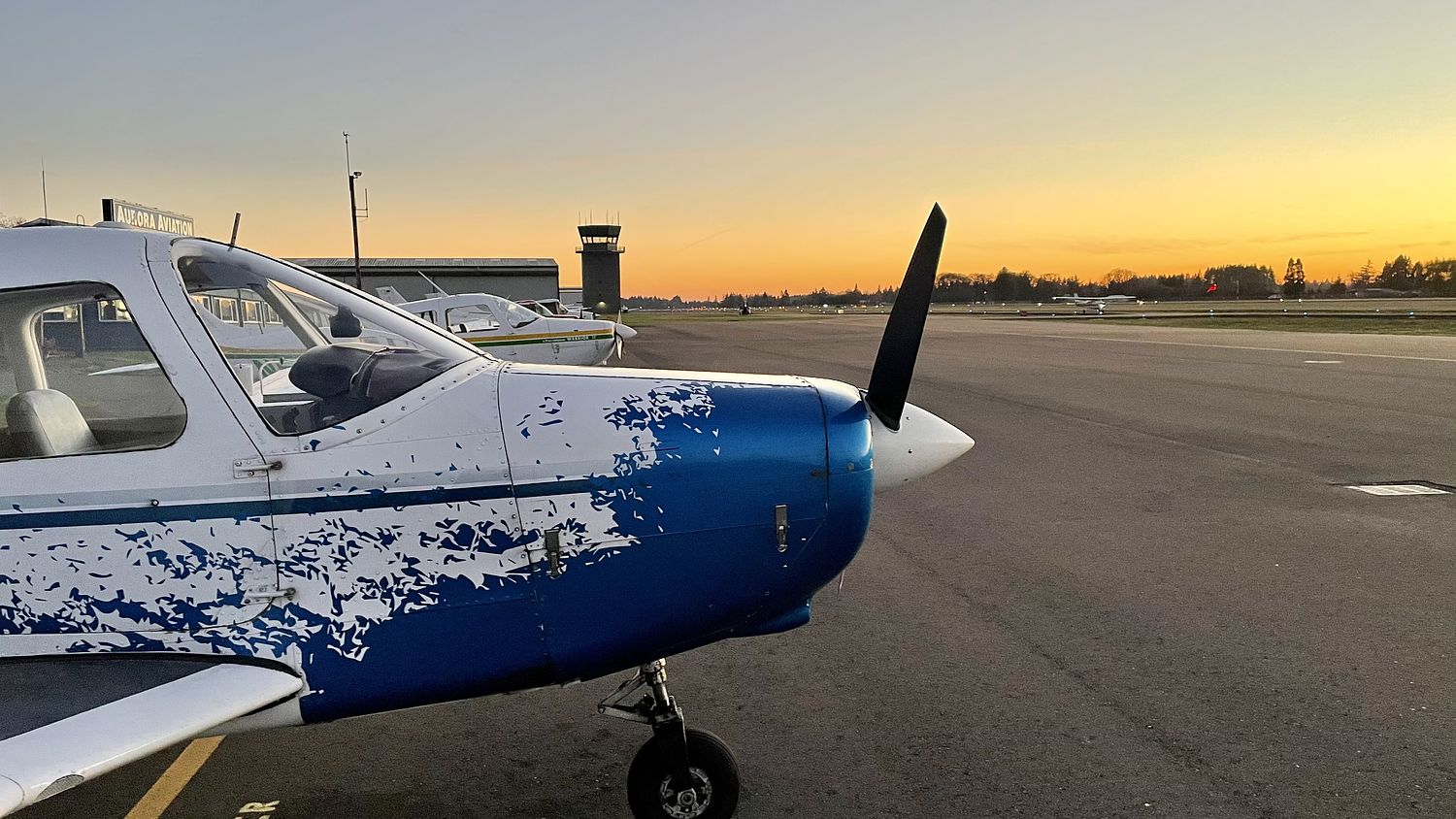
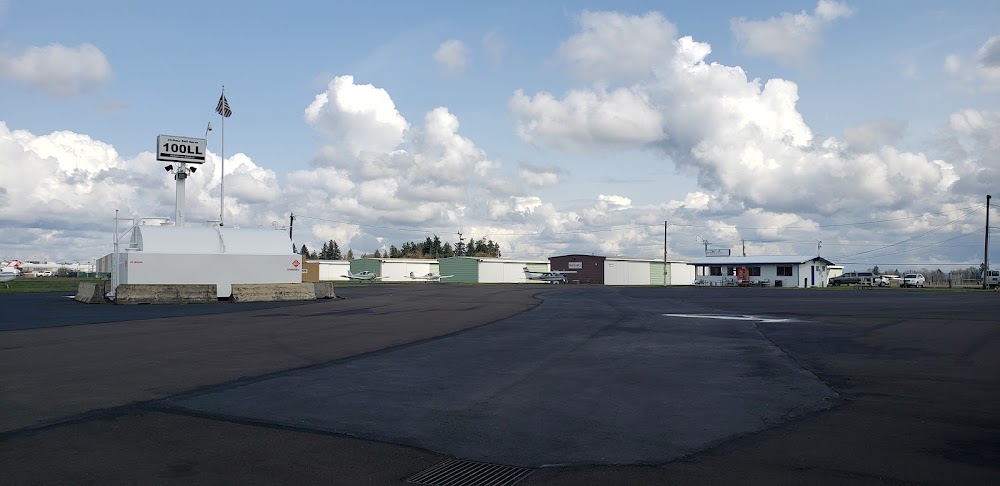
Fuel:
100LL, A (prices)
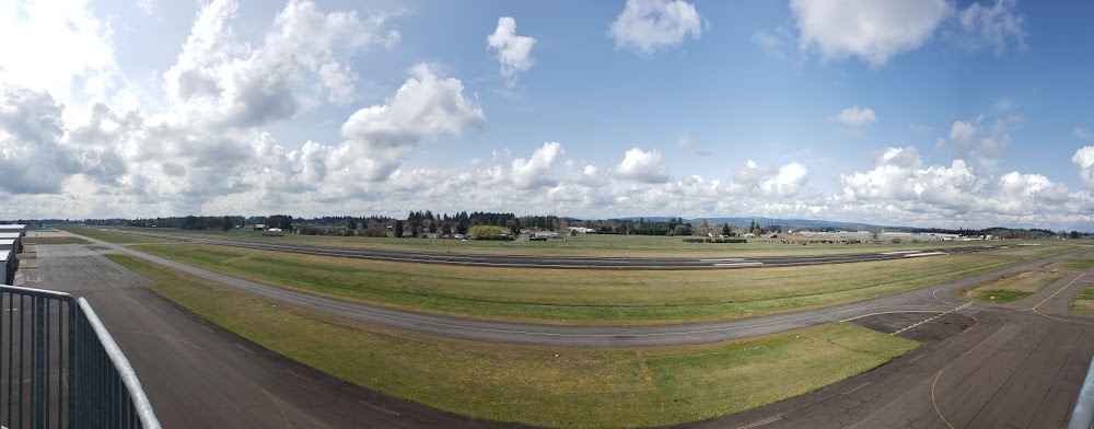
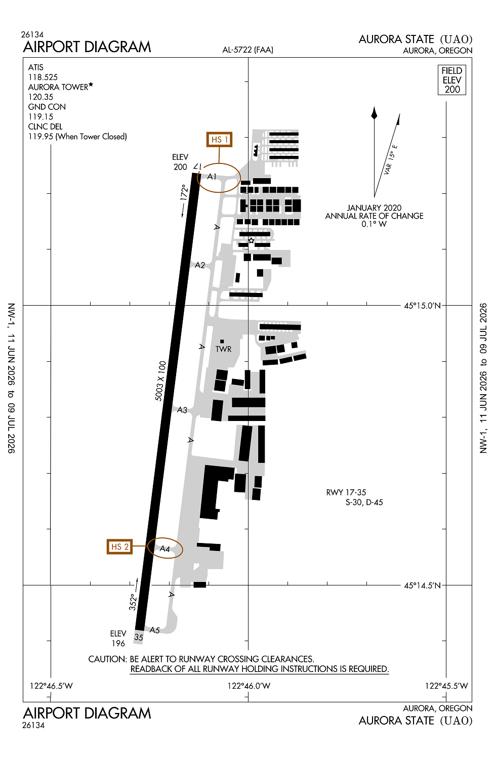
Runway 17/35:
5,003ft
Access: Open to the public
Current Weather — VFR
-
Weather data is strictly informational and not for flight planning purposes.
-
METAR2026-07-16 06:05:00 PDT
Ceiling: 11,000ft Wind: 190° @ 7kt Temperature: 57°F Dewpoint: 53°F Weather: Thunderstorm in vicinity Visbility: 10SM Clouds: Few @ 3,900ft, Broken @ 11,000ft Raw:SPECI KUAO 161305Z AUTO 19007KT 10SM VCTS FEW039 BKN110 14/12 A3002 RMK AO2 TSE1259 T01390117 -
TAF2026-07-16 05:00:00 PDT – 2026-07-16 09:00:00 PDT
Ceiling: 5,000ft Wind: 210° @ 5kt Weather: Light rain showers Visbility: 6SM Clouds: Scattered @ 2,000ft, Broken @ 5,000ft Raw:TAF KUAO 161137Z 1612/1712 21005KT P6SM -SHRA SCT020 BKN050 FM161600 21009KT P6SM VCSH BKN020 FM162000 21008KT P6SM SCT030 -
TAF2026-07-16 09:00:00 PDT – 2026-07-16 13:00:00 PDT
Ceiling: 2,000ft Wind: 210° @ 9kt Weather: Showers in vicinity Visbility: 6SM Clouds: Broken @ 2,000ft Raw:TAF KUAO 161137Z 1612/1712 21005KT P6SM -SHRA SCT020 BKN050 FM161600 21009KT P6SM VCSH BKN020 FM162000 21008KT P6SM SCT030 -
TAF2026-07-16 13:00:00 PDT – 2026-07-17 05:00:00 PDT
Ceiling: Sky clear Wind: 210° @ 8kt Weather: N/A Visbility: 6SM Clouds: Scattered @ 3,000ft Raw:TAF KUAO 161137Z 1612/1712 21005KT P6SM -SHRA SCT020 BKN050 FM161600 21009KT P6SM VCSH BKN020 FM162000 21008KT P6SM SCT030
Click/tap to add an annotation marker to the map
No webcams added yet.
Remarks
- Ry 35 calm wind ry. use only paved sfcs. frequent straight in instrument apch tfc to ry 17.
- Ry 17 +30 ft pline 2100 ft fm thld; mkd by balls.
- Parallel twy 35 ft wide and has medium intensity twy lgts.
- Migratory birds, coyotes, and deer on and invof arpt.
- Noise abatement sens area: 2 mi n of rwy 17; 1 mi se of rwy 35; hlf mi sw of rwy 35. avoid low level over-flights of residential areas srndg arpt whenever poss.
Comments