Pirep is a free, collaborative database of all public and private airports. All pilots are welcome to contribute their local knowledge to any airport, no registration required.
Public
Undocumented
METAR / TAF
Edit Tags
No upcoming events. Is anything happening here soon?
Airport Statistics
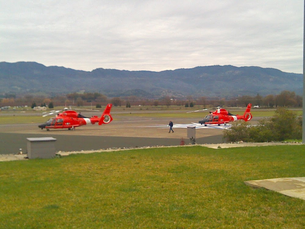
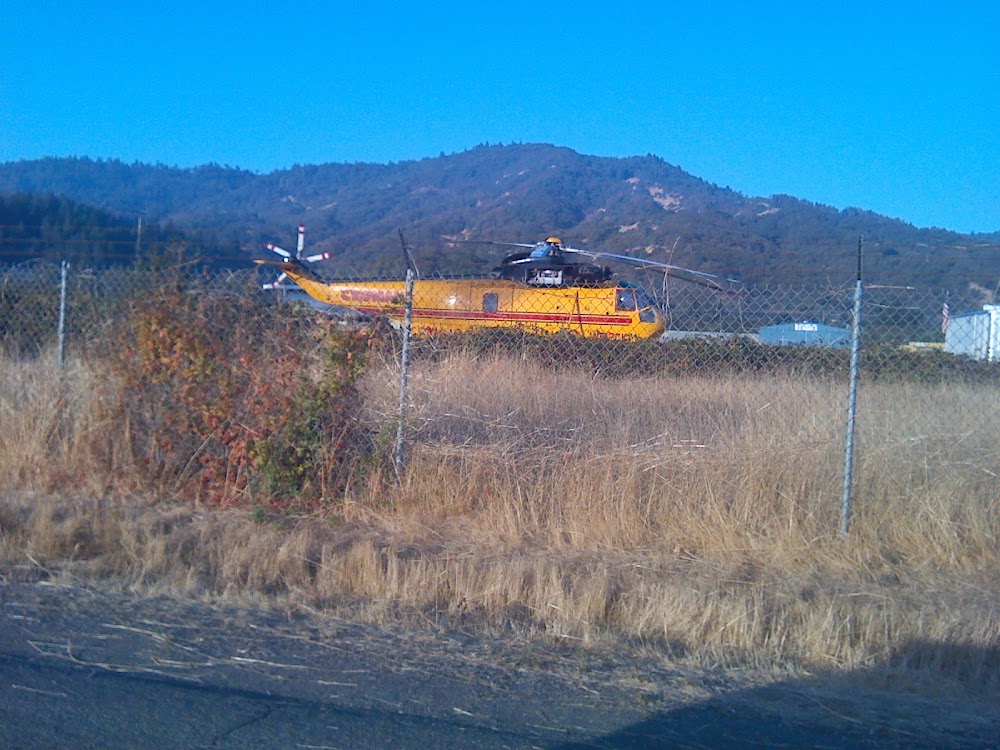
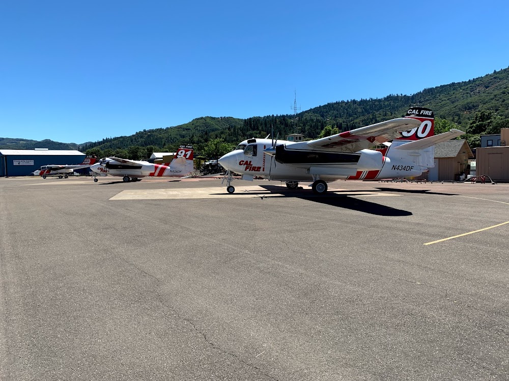
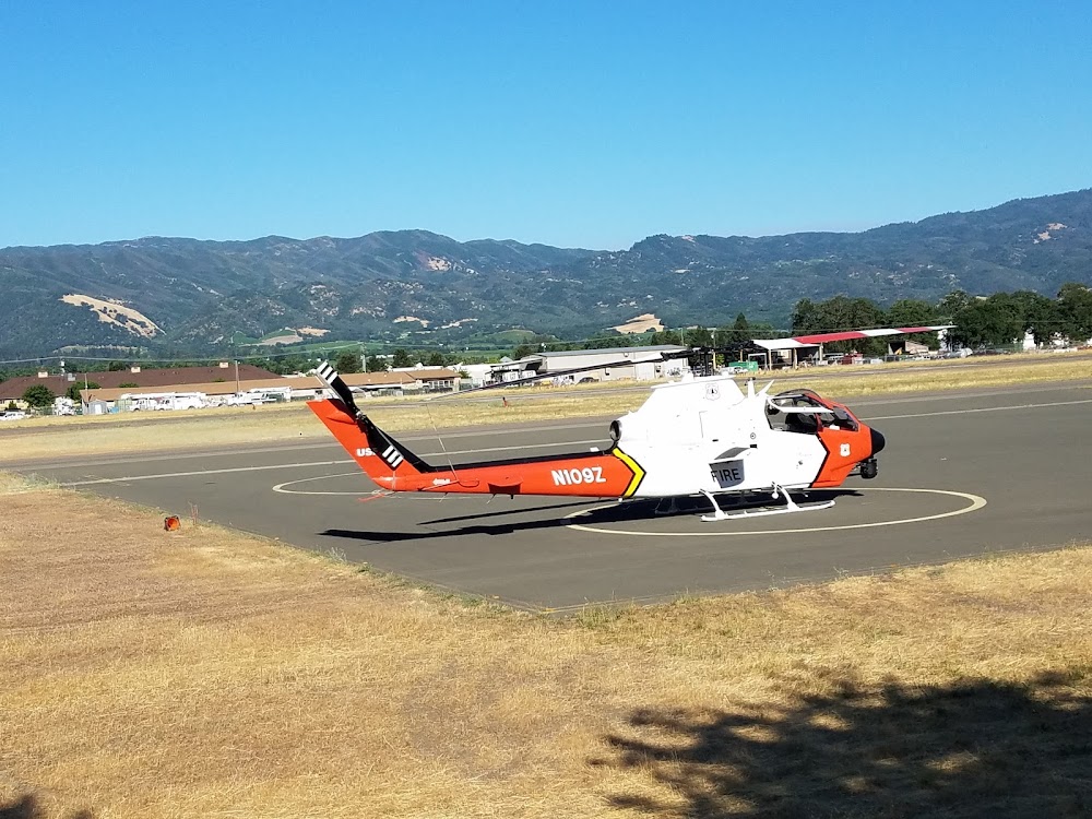
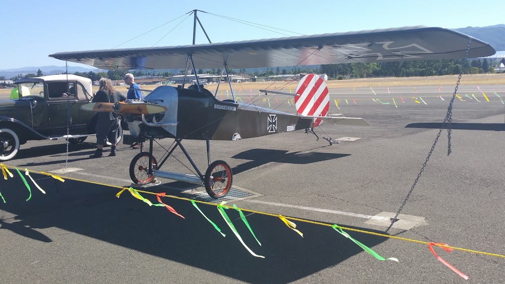
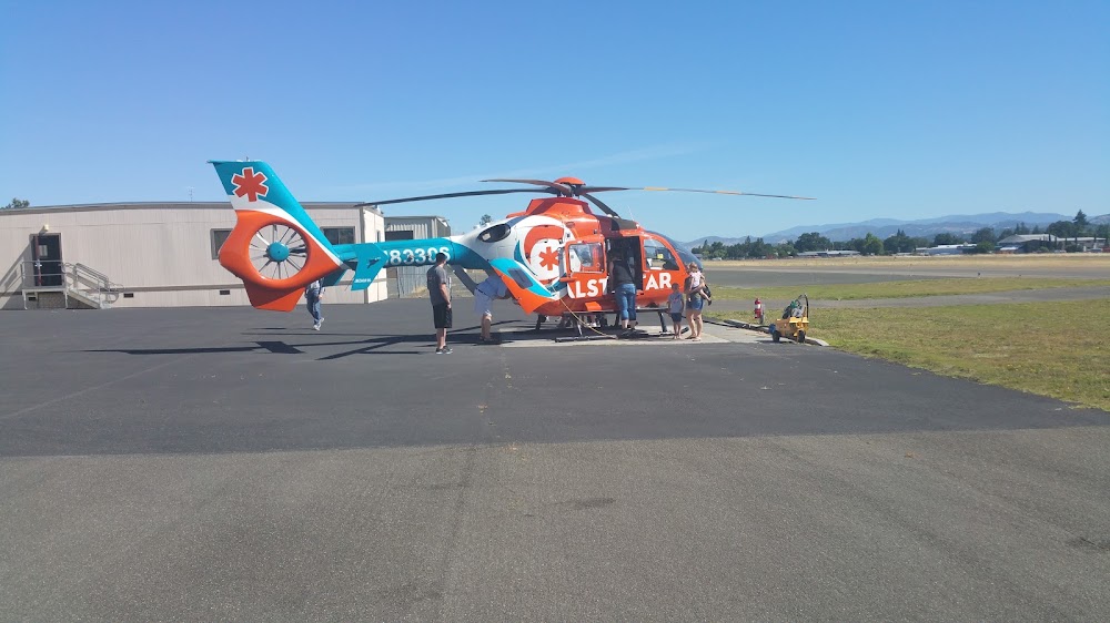
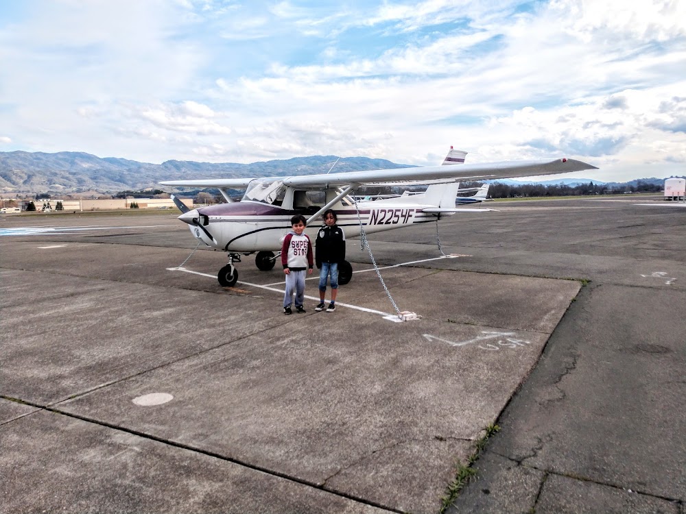
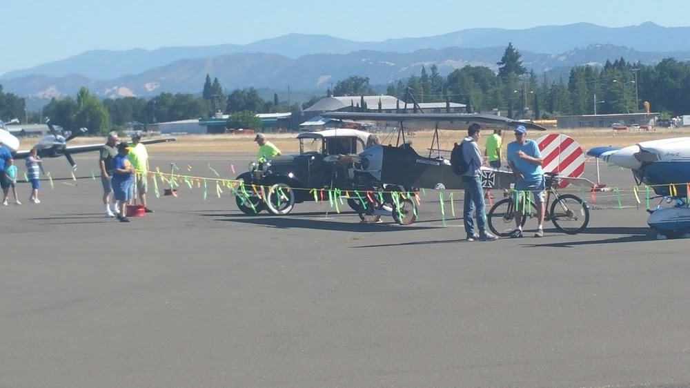
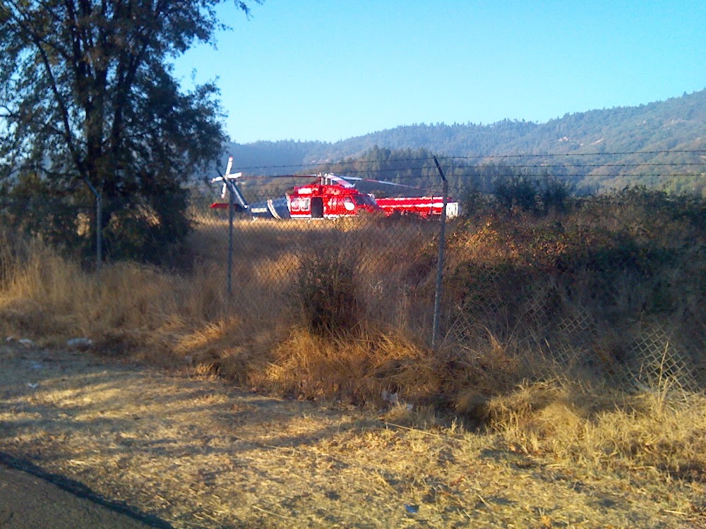
- Airport photos
- Transient parking location
- Fuel pump location
Location:
Ukiah, CA
Elevation:
616ft
Sectional:
San Francisco
Activation date:
Apr 1946
Fuel:
100LL, A (prices)
Runway 15/33:
4,423ft
Access: Open to the public
Current Weather — VFR
-
Weather data is strictly informational and not for flight planning purposes.
-
METAR2026-07-20 11:56:00 PDT
Ceiling: Sky clear Wind: Variable Temperature: 82°F Dewpoint: 48°F Weather: N/A Visbility: 10SM Raw:METAR KUKI 201856Z AUTO VRB04KT 10SM CLR 28/09 A2992 RMK AO2 SLP123 T02830089 -
TAF2026-07-20 11:00:00 PDT – 2026-07-20 15:00:00 PDT
Ceiling: 25,000ft Wind: 140° @ 6kt Weather: N/A Visbility: 6SM Clouds: Few @ 700ft, Overcast @ 25,000ft Raw:TAF KUKI 201730Z 2018/2118 14006KT P6SM FEW007 OVC250 FM202200 16011KT P6SM BKN250 FM210200 17006KT P6SM OVC250 -
TAF2026-07-20 15:00:00 PDT – 2026-07-20 19:00:00 PDT
Ceiling: 25,000ft Wind: 160° @ 11kt Weather: N/A Visbility: 6SM Clouds: Broken @ 25,000ft Raw:TAF KUKI 201730Z 2018/2118 14006KT P6SM FEW007 OVC250 FM202200 16011KT P6SM BKN250 FM210200 17006KT P6SM OVC250 -
TAF2026-07-20 19:00:00 PDT – 2026-07-21 11:00:00 PDT
Ceiling: 25,000ft Wind: 170° @ 6kt Weather: N/A Visbility: 6SM Clouds: Overcast @ 25,000ft Raw:TAF KUKI 201730Z 2018/2118 14006KT P6SM FEW007 OVC250 FM202200 16011KT P6SM BKN250 FM210200 17006KT P6SM OVC250
Click/tap to add an annotation marker to the map
No webcams added yet.
Remarks
- Second rotating bcn on mtn 250 degrees magnetic & 2 miles fm arpt.
- Dusk-dawn
- <no jet acft departures between 2200-0700 lcl.
- <calm wind rwy is 15 for noise abatement reasons.
- Noise abatement procedures: amgr requests no vfr straight-in apchs to ry 15/33, right turn after dep ry 33 to avoid overflight of town.
- For cd if una to ctc on fss freq, ctc oakland artcc at 510-745-3380.
- Actvt papi rwy 15; reil rwy 15 & 33; mirl rwy 15/33 - ctaf.
- Lndg fee for all acft ovr 12500 lbs.
Comments