Pirep is a free, collaborative database of all public and private airports. All pilots are welcome to contribute their local knowledge to any airport, no registration required.
Public
Undocumented
Edit Tags
No upcoming events. Is anything happening here soon?
Airport Statistics
- Local flying clubs
- Fuel pump location
- Landing & tie-down fees
Location:
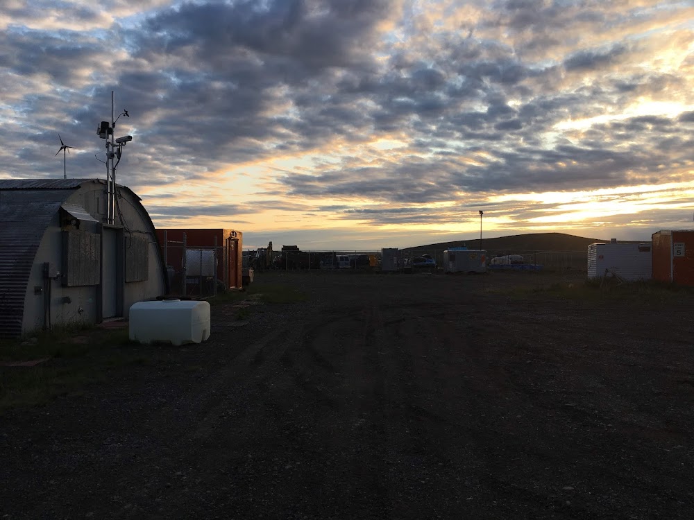
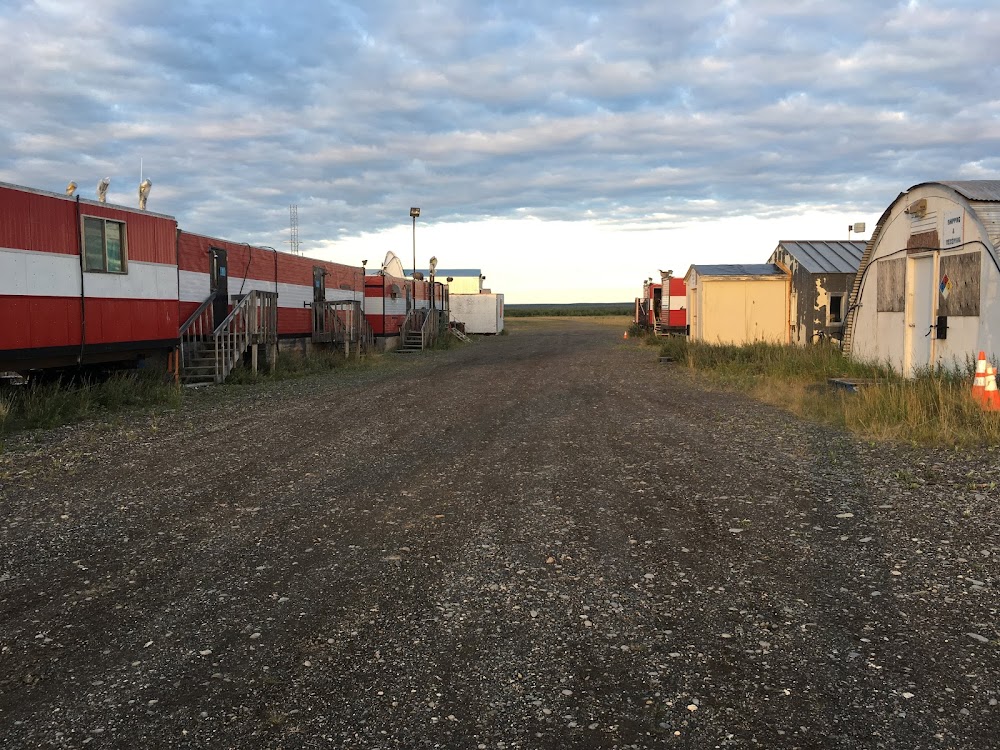
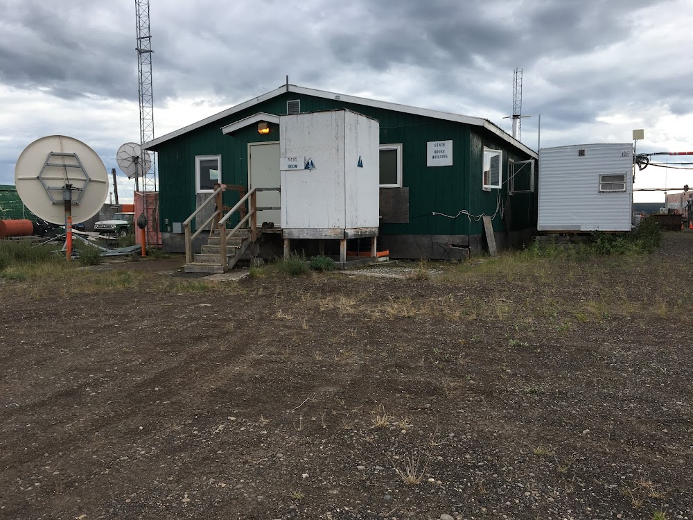
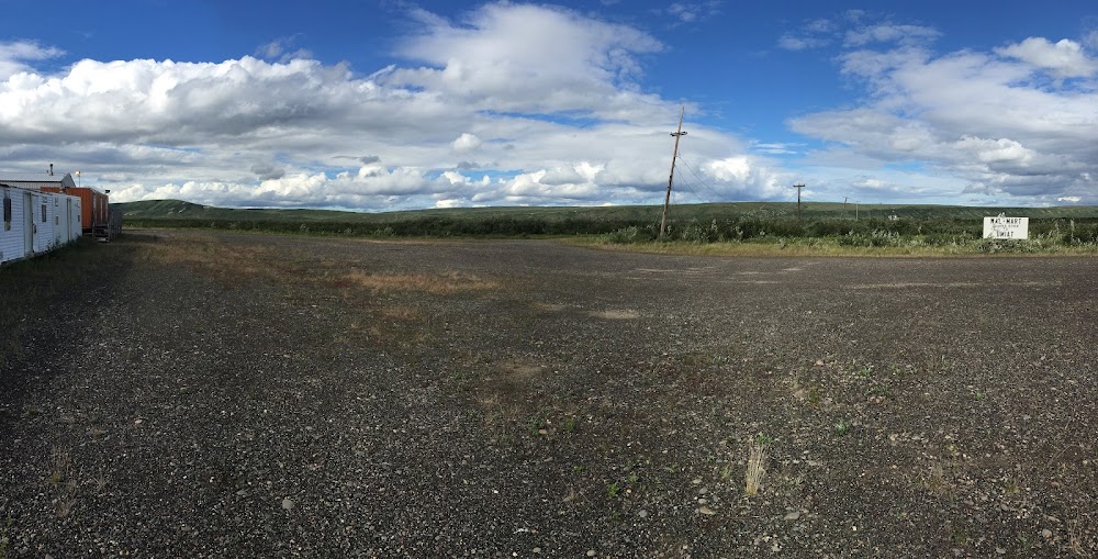
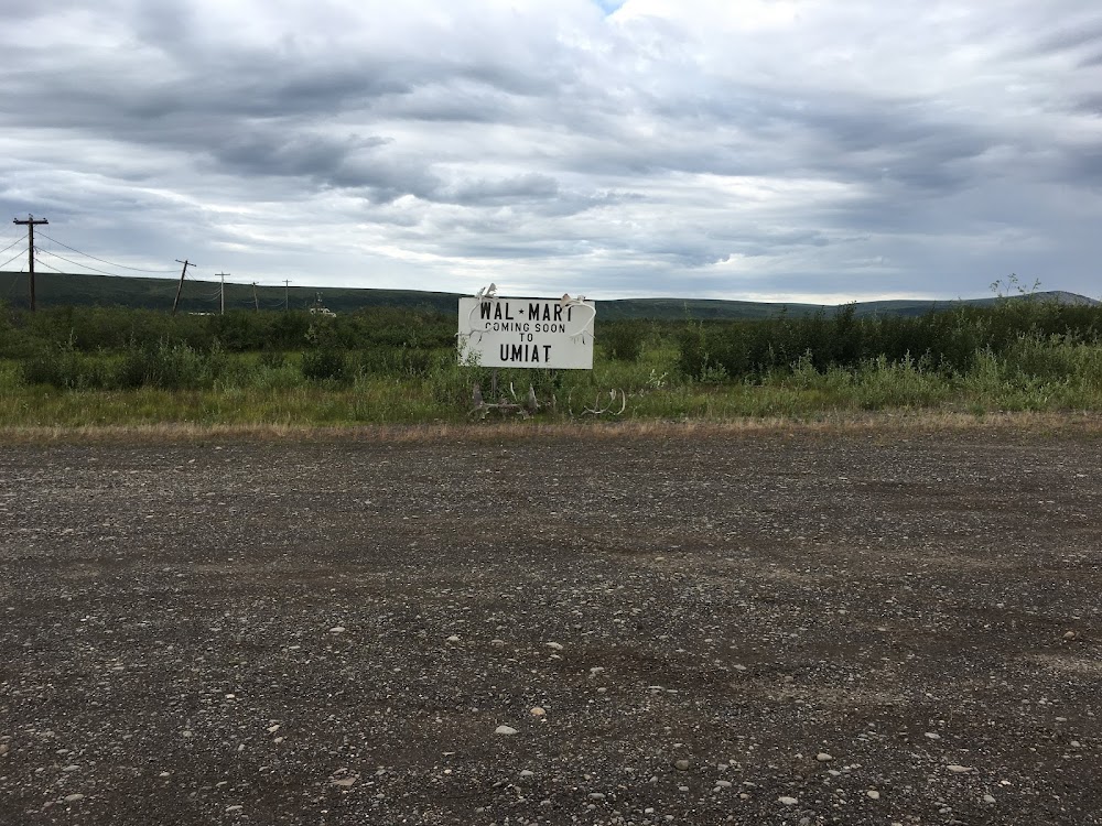
Umiat, AK
Elevation:
267ft
Sectional:
Point Barrow
Activation date:
May 1949
Fuel:
None
Runway 06/24:
5,583ft
Access: Open to the public
Click/tap to add an annotation marker to the map
No webcams added yet.
Remarks
- Mtn ridges n & s.
- Ry condition not monitored; recommend visual inspection prior to landing.
- Wildlife & birds on & invof ry.
- No winter maintenance or snow removal.
- When avbl wx rprts hrly only.
- Grass & weeds growing on ry sfc with ruts up to 4 in. ry soft when wet.
Comments