Pirep is a free, collaborative database of all public and private airports. All pilots are welcome to contribute their local knowledge to any airport, no registration required.


Public
Undocumented
METAR / TAF
Edit Tags
No upcoming events. Is anything happening here soon?
Airport Statistics
- Fuel pump location
- Airport photos
- WiFi availability
Location:
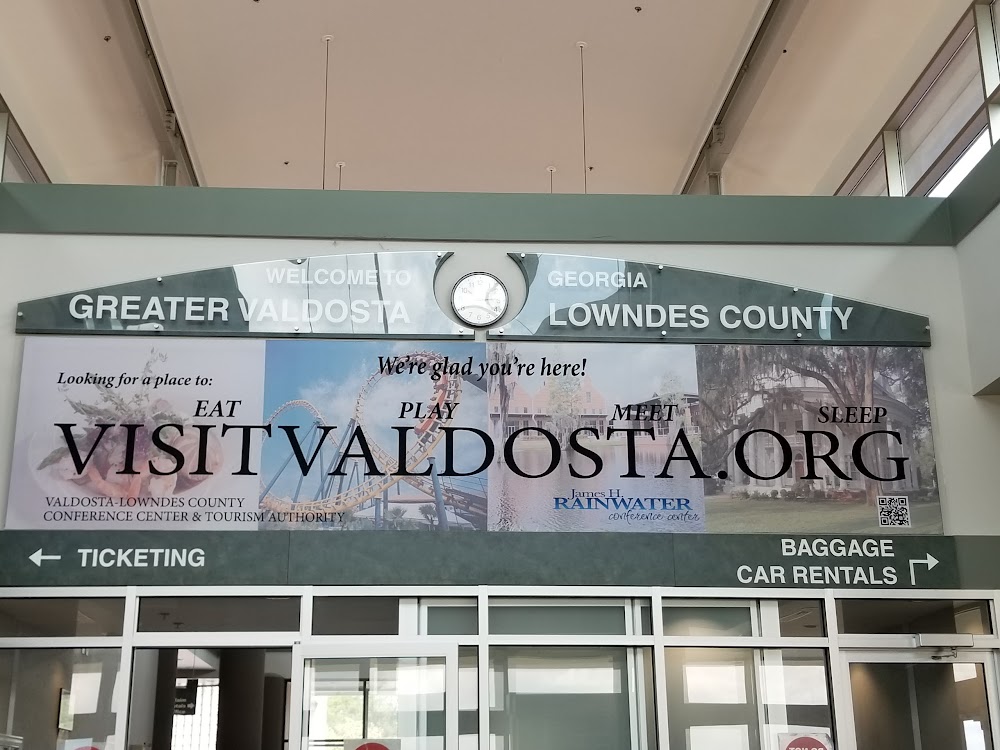
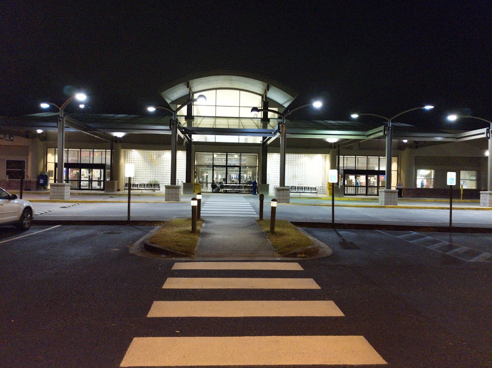
Valdosta, GA
Elevation:
203ft
Sectional:
Jacksonville
Activation date:
Apr 1940
Fuel:
100LL, A1+ (prices)
Runway 18/36:
8,003ft
Runway 17/35:
8,002ft
Runway 04/22:
5,598ft
Runway 13/31:
3,636ft
Access: Open to the public
Current Weather — VFR
-
Weather data is strictly informational and not for flight planning purposes.
-
METAR2026-07-20 21:53:00 EDT
Ceiling: Sky clear Wind: 130° @ 4kt Temperature: 75°F Dewpoint: 71°F Weather: N/A Visbility: 10SM Clouds: Few @ 12,000ft Raw:METAR KVLD 210153Z 13004KT 10SM FEW120 24/22 A2989 RMK AO2 SLP128 T02440222 $ -
TAF2026-07-20 20:00:00 EDT – 2026-07-20 21:00:00 EDT
Ceiling: Sky clear Wind: 080° @ 7kt Weather: Showers in vicinity Visbility: 6SM Clouds: Few @ 700ft Raw:TAF KVLD 202355Z 2100/2124 08007KT P6SM VCSH FEW007 FM210100 15007KT P6SM BKN250 FM210700 12005KT P6SM BKN025 FM211500 15010KT 6SM -SHRA SCT025 BKN035 -
TAF2026-07-20 21:00:00 EDT – 2026-07-21 03:00:00 EDT
Ceiling: 25,000ft Wind: 150° @ 7kt Weather: N/A Visbility: 6SM Clouds: Broken @ 25,000ft Raw:TAF KVLD 202355Z 2100/2124 08007KT P6SM VCSH FEW007 FM210100 15007KT P6SM BKN250 FM210700 12005KT P6SM BKN025 FM211500 15010KT 6SM -SHRA SCT025 BKN035 -
TAF2026-07-21 03:00:00 EDT – 2026-07-21 11:00:00 EDT
Ceiling: 2,500ft Wind: 120° @ 5kt Weather: N/A Visbility: 6SM Clouds: Broken @ 2,500ft Raw:TAF KVLD 202355Z 2100/2124 08007KT P6SM VCSH FEW007 FM210100 15007KT P6SM BKN250 FM210700 12005KT P6SM BKN025 FM211500 15010KT 6SM -SHRA SCT025 BKN035 -
TAF2026-07-21 11:00:00 EDT – 2026-07-21 20:00:00 EDT
Ceiling: 3,500ft Wind: 150° @ 10kt Weather: Light rain showers Visbility: 6SM Clouds: Scattered @ 2,500ft, Broken @ 3,500ft Raw:TAF KVLD 202355Z 2100/2124 08007KT P6SM VCSH FEW007 FM210100 15007KT P6SM BKN250 FM210700 12005KT P6SM BKN025 FM211500 15010KT 6SM -SHRA SCT025 BKN035
Click/tap to add an annotation marker to the map

No webcams added yet.
Remarks
- Clsd to unsked acr opns with more than 30 psgr seats excp 24 hr ppr call amgr 229-333-1833.
- Rwy 04/22 has 10 ft paved shoulders with vegetation.
- Pilots must sup own tie-down ropes.
- When atct clsd actvt malsr rwy 36; reil rwy 18; papi rwy 18 & 36; hirl rwy 18/36 - ctaf. reil rwy 04/22; papi rwy 04 & 22; mirl rwy 04/22 unavbl when atct clsd.
- Contact fbo 229-242-3175.
Comments