Pirep is a free, collaborative database of all public and private airports. All pilots are welcome to contribute their local knowledge to any airport, no registration required.
Public
Undocumented
METAR / TAF
Edit Tags
No upcoming events. Is anything happening here soon?
Airport Statistics
- Airport map annotations
- WiFi availability
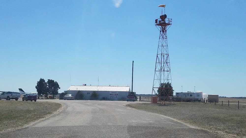
- General description
Location:
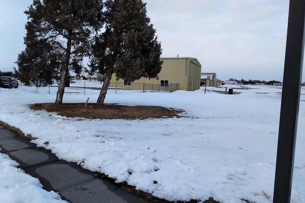
Valentine, NE
Elevation:
2,595ft
Sectional:
Omaha
Activation date:
Sep 1949
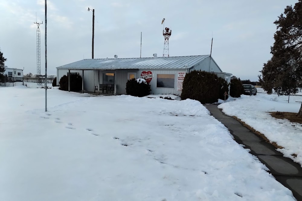
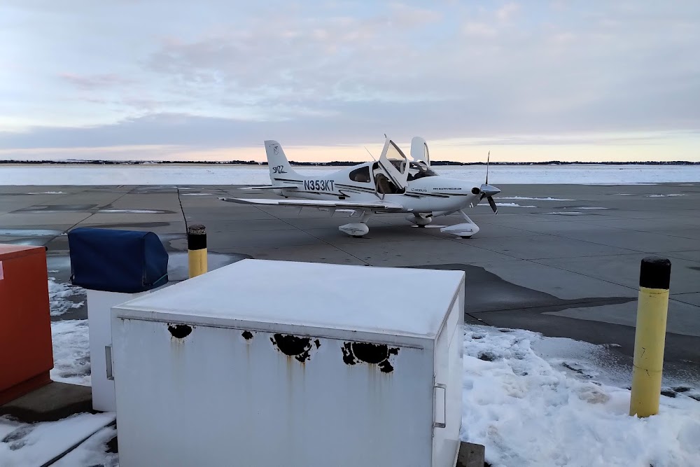
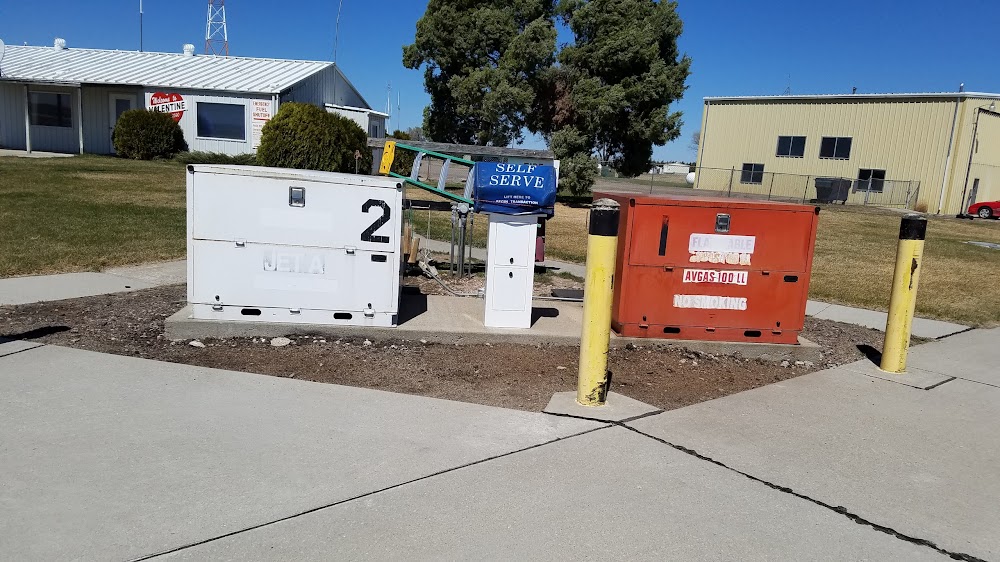
Fuel:
100LL, A (prices)
Runway 14/32:
4,705ft
Runway 03/21:
3,701ft
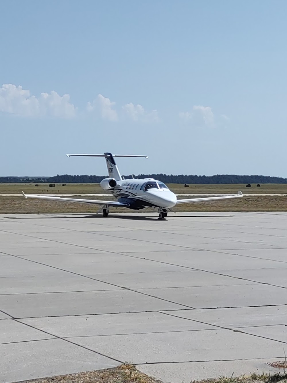
Access: Open to the public
Current Weather — VFR
-
Weather data is strictly informational and not for flight planning purposes.
-
METAR2026-07-16 07:52:00 CDT
Ceiling: Sky clear Wind: 000° @ kt Temperature: 71°F Dewpoint: 62°F Weather: N/A Visbility: 10SM Raw:METAR KVTN 161252Z AUTO 10SM CLR 22/17 A3008 RMK AO2 SLP159 T02170167 -
TAF2026-07-16 07:00:00 CDT – 2026-07-16 15:00:00 CDT
Ceiling: Sky clear Wind: 200° @ 10kt Weather: N/A Visbility: 6SM Clouds: @ ft Raw:TAF KVTN 161122Z 1612/1712 20010KT P6SM SKC FM162000 18012KT P6SM SCT070 FM170200 17008KT P6SM FEW070 FM170700 20007KT P6SM SKC -
TAF2026-07-16 15:00:00 CDT – 2026-07-16 21:00:00 CDT
Ceiling: Sky clear Wind: 180° @ 12kt Weather: N/A Visbility: 6SM Clouds: Scattered @ 7,000ft Raw:TAF KVTN 161122Z 1612/1712 20010KT P6SM SKC FM162000 18012KT P6SM SCT070 FM170200 17008KT P6SM FEW070 FM170700 20007KT P6SM SKC -
TAF2026-07-16 21:00:00 CDT – 2026-07-17 02:00:00 CDT
Ceiling: Sky clear Wind: 170° @ 8kt Weather: N/A Visbility: 6SM Clouds: Few @ 7,000ft Raw:TAF KVTN 161122Z 1612/1712 20010KT P6SM SKC FM162000 18012KT P6SM SCT070 FM170200 17008KT P6SM FEW070 FM170700 20007KT P6SM SKC -
TAF2026-07-17 02:00:00 CDT – 2026-07-17 07:00:00 CDT
Ceiling: Sky clear Wind: 200° @ 7kt Weather: N/A Visbility: 6SM Clouds: @ ft Raw:TAF KVTN 161122Z 1612/1712 20010KT P6SM SKC FM162000 18012KT P6SM SCT070 FM170200 17008KT P6SM FEW070 FM170700 20007KT P6SM SKC
Click/tap to add an annotation marker to the map
No webcams added yet.
Remarks
- For cd ctc denver artcc on freq. if una, ctc fss on freq via rco. if una, ctc denver artcc at 303-651-4257.
- Actvt reil rwy 32; papi rwys 03, 21, 14 & 32; mirl rwys 03/21 & 14/32 - ctaf.
- City hall phone nr.
- Fuel avbl 24 hrs with credit card or by prior arrangement call (402) 376-2215.
- -4.4 ft at 60 ft r; +1.4 ft on cntrln; +8.5 ft at 234 ft l.
- Rwy 21 apch slope 42:1 due to 54 ft tree 2280 ft from dsp thr.
- Rwy 14 apch slp 42:1 fm dthr.
Comments