Pirep is a free, collaborative database of all public and private airports. All pilots are welcome to contribute their local knowledge to any airport, no registration required.


Public
Undocumented
METAR / TAF
Edit Tags
No upcoming events. Is anything happening here soon?
Airport Statistics
- Landing & tie-down fees
- WiFi availability
- Webcam links
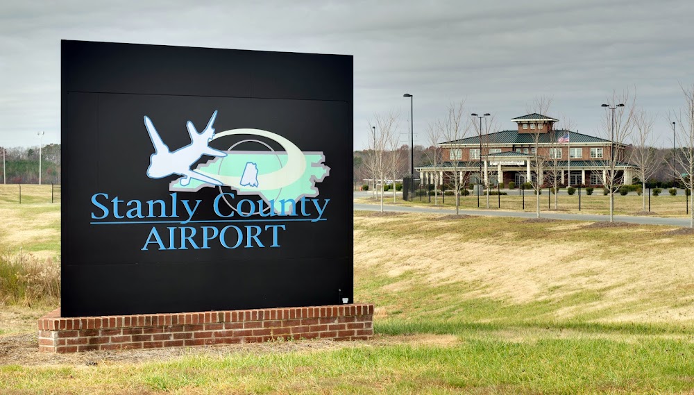
Location:
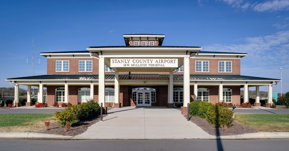
Albemarle, NC
Elevation:
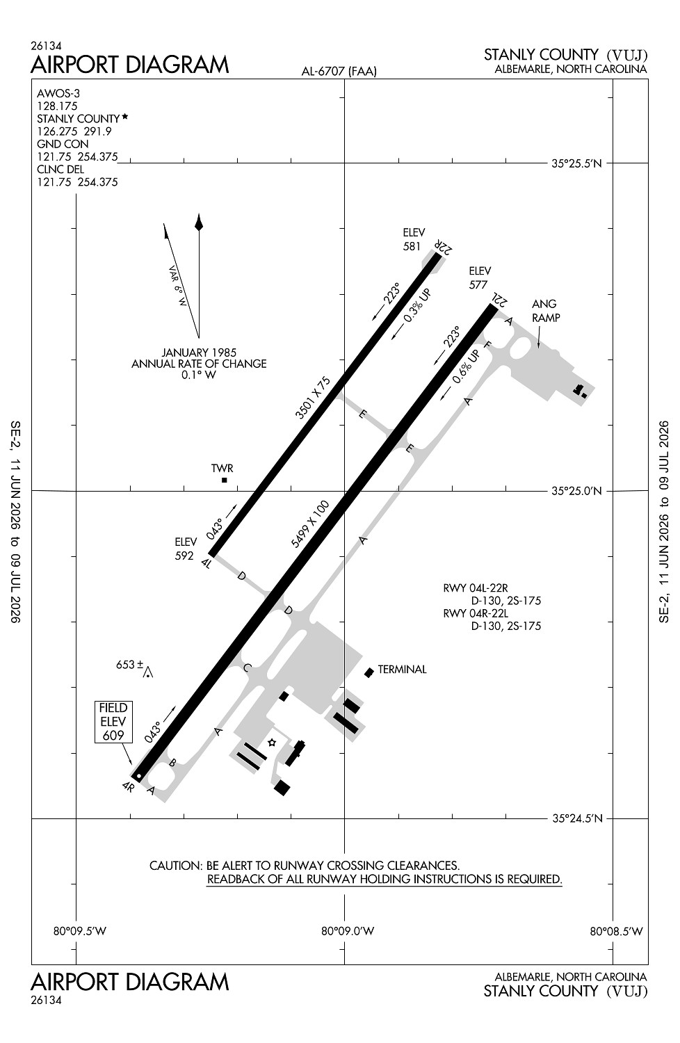
609ft
Sectional:
Charlotte
Activation date:
Jan 1979
Fuel:
100LL, A+, A1+ (prices)
Runway 04R/22L:
5,499ft
Runway 04L/22R:
3,501ft
Access: Open to the public
Current Weather — VFR
-
Weather data is strictly informational and not for flight planning purposes.
-
METAR2026-07-16 07:15:00 EDT
Ceiling: Sky clear Wind: Calm Temperature: 68°F Dewpoint: 67°F Weather: N/A Visbility: 10SM Raw:METAR KVUJ 161115Z AUTO 00000KT 10SM CLR 20/20 A3006 RMK AO2 T02030199
Click/tap to add an annotation marker to the map
No webcams added yet.
Remarks
- 959 ft msl lgtd twr 1.5nw.
- Rstd: ang ramp rstd to mil use only with ppr. ctc 235 caos/atm dsn 484-2551, c704-422-2551 or c704-763-4633 aft duty hours.
- Caution: be alert for high speed low level mil acft in vcnty. frq ngt mil opr. freq assault ops to rwy 22r. deer and bird hazard.
- Misc: regional training site (rts) support coord thru 145 aw/ce dsn 231-4229.
- Ang: ppr only if utilizing ang ramp and fbo ramp, 235 caos/atm c704-422-2551.
Comments