Pirep is a free, collaborative database of all public and private airports. All pilots are welcome to contribute their local knowledge to any airport, no registration required.


Public
Undocumented
Edit Tags
No upcoming events. Is anything happening here soon?
Airport Statistics
- Tags
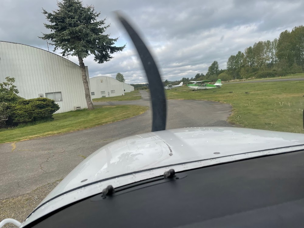
- Airport photos
- Airport map annotations
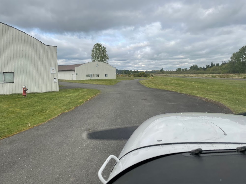
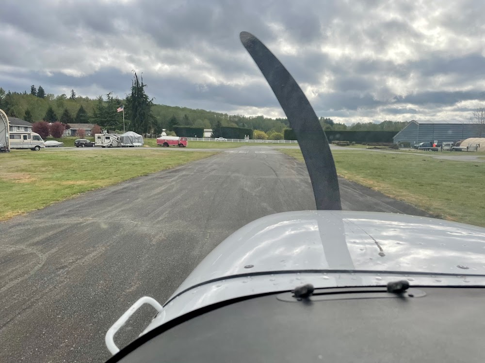
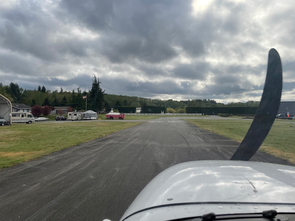
Location:
Monroe, WA
Elevation:
50ft
Sectional:
Seattle
Activation date:
Nov 1969
Fuel:
None
Runway 07/25:
2,087ft
Access: Open to the public
This airport is privately owned but open to the public.
Click/tap to add an annotation marker to the map
No webcams added yet.
Remarks
- No objecion provided rwy 25 is dsplcd 500'.
- Rwy elev: 25 end 46', 7 end 33'.
- solar powered runway lights.
- For cd ctc seattle apch at 206-214-4722.
- Pilots bring own ropes.
- Numbers 200' e of dsplcd thr; numbers only; no cntrln. word - monroe - painted midfield on ry.
- Acft parked in primary sfc.
- Unsealed cracks and joints. alligator cracking and vegetation through cracks and joints.
Comments