Pirep is a free, collaborative database of all public and private airports. All pilots are welcome to contribute their local knowledge to any airport, no registration required.
Sadly, this airport is reportedly closed based on it being removed from the FAA's database.
Public
Undocumented
Closed
Edit Tags
No upcoming events. Is anything happening here soon?
Airport Statistics
- Landing & tie-down fees
- Crew car availability
- Tags
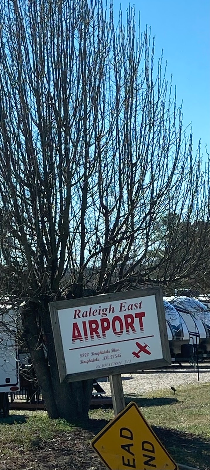
Location:
Knightdale, NC
Elevation:
313ft
Sectional:
Charlotte
Activation date:
May 1964
Closed date:
Jun 2026
Fuel:
None
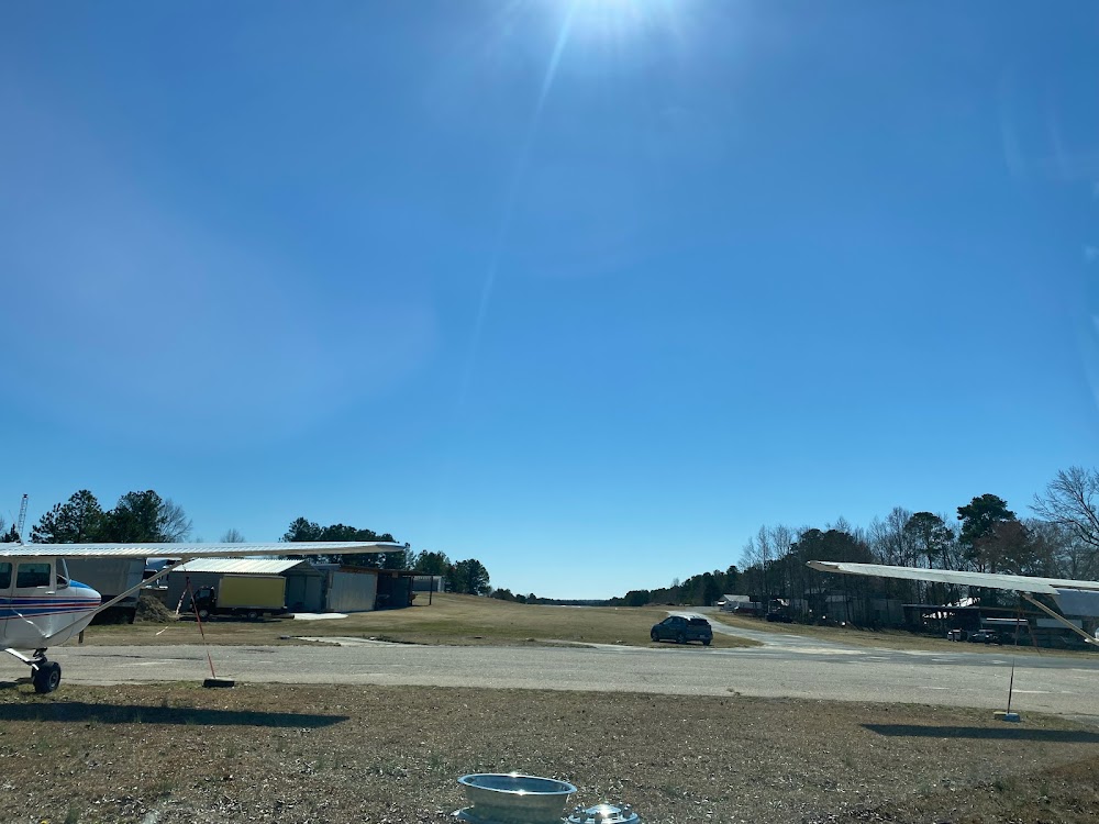
Runway 01/19:
3,000ft
Access: Open to the public
This airport is privately owned but open to the public.
Click/tap to add an annotation marker to the map
No webcams added yet.
Remarks
- Vfr only.
- +5 ft trrn 20 ft from rwy edge west side south 2/3 of rwy.
- Rwy 19 thr aprxly 40 ft higher than rwy 01 thr (slps uphill to the north).
- Rwy 19 safety area has +20 ft bldgs & parked acft.
- Rwy 19 has 60 ft plines 1000 ft fm thr both sides of cntrln.
- For cd ctc raleigh apch at 919-380-3144.
- Nstd mirl; due to rwy 19 lgtd thr relctd 70 ft; 2930 ft of rwy 01/19 usbl at night; edge lgts are 17 ft fm rwy edge.
- Rwy 01/19 nstd small mrkgs.
Comments