Pirep is a free, collaborative database of all public and private airports. All pilots are welcome to contribute their local knowledge to any airport, no registration required.
Public
Undocumented
Edit Tags
No upcoming events. Is anything happening here soon?
Airport Statistics
- Transient parking location
- Airport map annotations
- Crew car availability
Location:
Forest, VA
Elevation:
842ft
Sectional:
Cincinnati
Activation date:
Nov 1960
Fuel:
None
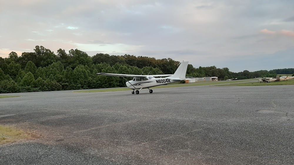
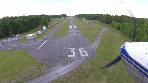
Runway 18/36:
3,164ft
Access: Open to the public
This airport is privately owned but open to the public.
Click/tap to add an annotation marker to the map
No webcams added yet.
Remarks
- Prior to 1959.
- Stand, fence & tower in prim and/or trnsl sfcs with guardrail both sides of rwy 36.
- Rwy used as drag strip on certain sundays summer months. notamed when arpt clsd.
- Ultra lgt acft on & invof arpt.
- Roa twr svcs avbl at 540-563-1307.
- For cd ctc roanoke apch at 540-563-1307.
- Rwy pavement in poor cond. pci 41-55.
- Ctlng obstn exceeds a 45 deg slp.
Comments