Pirep is a free, collaborative database of all public and private airports. All pilots are welcome to contribute their local knowledge to any airport, no registration required.
Private
Undocumented
Edit Tags
No upcoming events. Is anything happening here soon?
Airport Statistics
- Landing & tie-down fees
- WiFi availability
- Airport map annotations
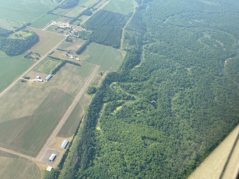
Location:
Durand, WI
Elevation:
780ft
Sectional:
Green Bay
Fuel:
None
Runway 18/36:
2,790ft
Access: Private to everyone
Is this airport privately owned but open to the public with or without restrictions? Or perhaps the owner is simply happy for pilots to stop by with prior permission?
Click/tap to add an annotation marker to the map
No webcams added yet.
Remarks
- Rwy 18/36 has a 1100'turf stwy on s end 80'wide.
- +45'pline 235'w of rwy 18/36.
- Ultralight actvty on & in vcnty of arpt.
- For cd ctc minneapolis artcc at 651-463-5588.
- Lgtd 2400'; 390'n end not lgtd.
- Thr dsplcd ngts only ratio 41:1, ratio over access road 24:1.
Comments