Pirep is a free, collaborative database of all public and private airports. All pilots are welcome to contribute their local knowledge to any airport, no registration required.


Public
Undocumented
METAR / TAF
Edit Tags
No upcoming events. Is anything happening here soon?
Airport Statistics
- Tags
- Local flying clubs
- Landing & tie-down fees
Location:
Winnemucca, NV
Elevation:
4,307ft
Sectional:
Klamath Falls
Activation date:
Oct 1943
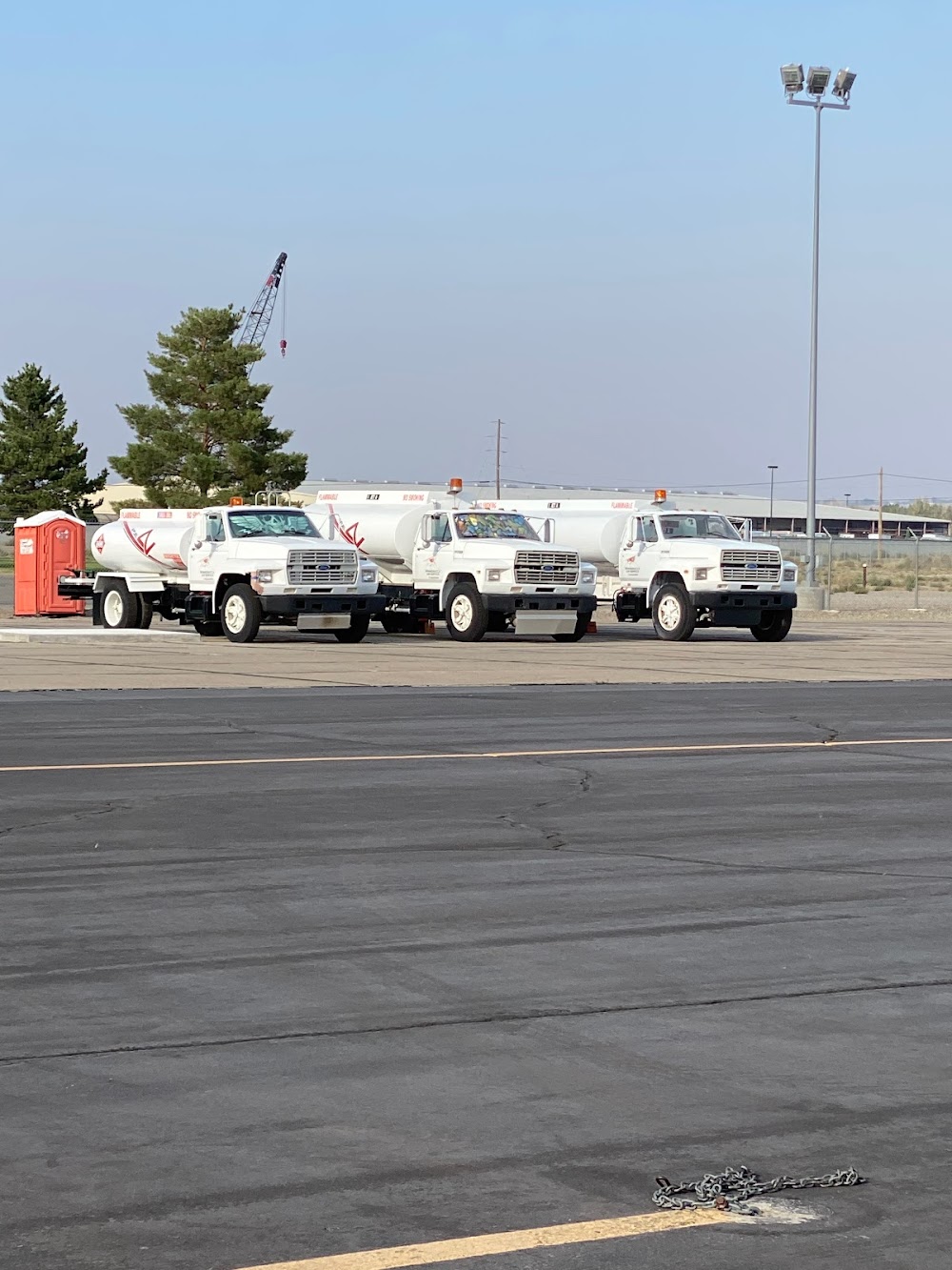
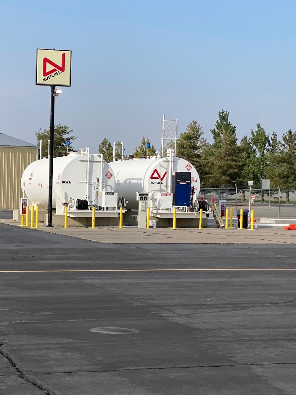
Fuel:
100LL, A (prices)
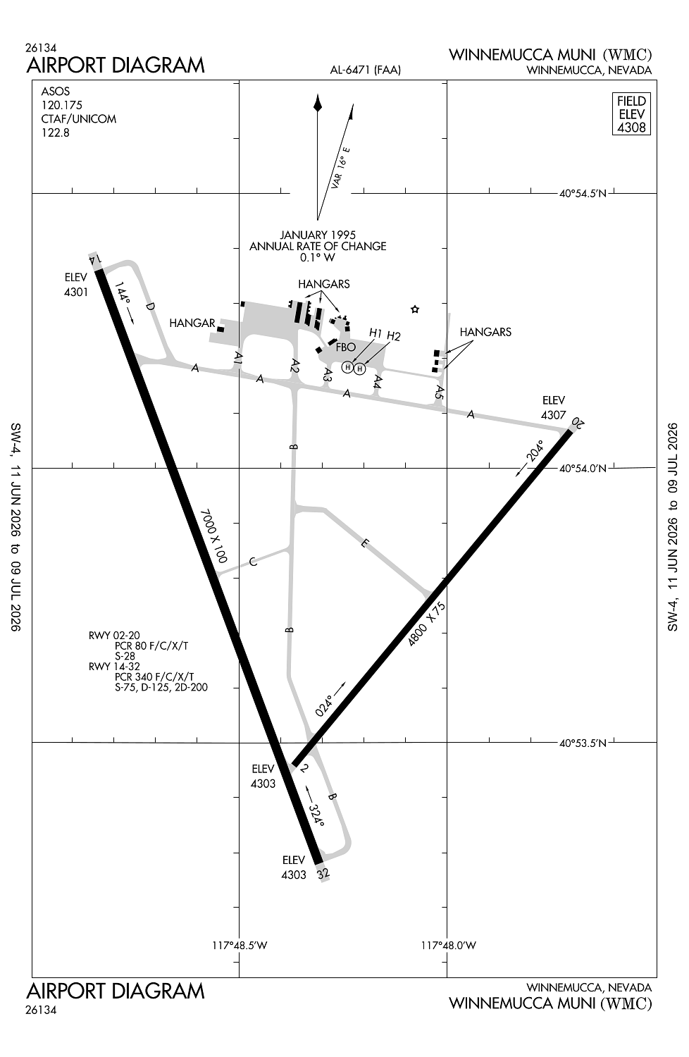
Runway 14/32:
7,000ft
Runway 02/20:
4,800ft
Runway H1:
25ft
Runway H2:
25ft
Access: Open to the public
Current Weather — VFR
-
Weather data is strictly informational and not for flight planning purposes.
-
METAR2026-07-16 10:56:00 PDT
Ceiling: Sky clear Wind: 280° @ 5kt Temperature: 87°F Dewpoint: 41°F Weather: N/A Visbility: 10SM Raw:METAR KWMC 161756Z AUTO 28005KT 10SM CLR 31/05 A3000 RMK AO2 SLP100 T03110050 10317 20128 58008 -
TAF2026-07-16 11:00:00 PDT – 2026-07-16 18:00:00 PDT
Ceiling: Sky clear Wind: 260° @ 10kt, gusts 18kt Weather: N/A Visbility: 6SM Clouds: Few @ 11,000ft Raw:TAF KWMC 161720Z 1618/1718 26010G18KT P6SM FEW110 FM170100 26007KT P6SM FEW110 FM170500 VRB04KT P6SM FEW110 FM171700 25009G16KT P6SM FEW130 -
TAF2026-07-16 18:00:00 PDT – 2026-07-16 22:00:00 PDT
Ceiling: Sky clear Wind: 260° @ 7kt Weather: N/A Visbility: 6SM Clouds: Few @ 11,000ft Raw:TAF KWMC 161720Z 1618/1718 26010G18KT P6SM FEW110 FM170100 26007KT P6SM FEW110 FM170500 VRB04KT P6SM FEW110 FM171700 25009G16KT P6SM FEW130 -
TAF2026-07-16 22:00:00 PDT – 2026-07-17 10:00:00 PDT
Ceiling: Sky clear Wind: Variable Weather: N/A Visbility: 6SM Clouds: Few @ 11,000ft Raw:TAF KWMC 161720Z 1618/1718 26010G18KT P6SM FEW110 FM170100 26007KT P6SM FEW110 FM170500 VRB04KT P6SM FEW110 FM171700 25009G16KT P6SM FEW130 -
TAF2026-07-17 10:00:00 PDT – 2026-07-17 11:00:00 PDT
Ceiling: Sky clear Wind: 250° @ 9kt, gusts 16kt Weather: N/A Visbility: 6SM Clouds: Few @ 13,000ft Raw:TAF KWMC 161720Z 1618/1718 26010G18KT P6SM FEW110 FM170100 26007KT P6SM FEW110 FM170500 VRB04KT P6SM FEW110 FM171700 25009G16KT P6SM FEW130
Click/tap to add an annotation marker to the map
No webcams added yet.
Remarks
- Constructed prior to 5/15/59.
- Full strength pavement areas include n 1000 ft of parallel twy (rwy 14/32 to twy a); w 1000 ft of twy a; 600 ft of n/s twr (fm twy a).
- Mountains in sw quadrant.
- Call fbo for current rwy conds in winter months.
- For cd if una to ctc on fss freq, ctc salt lake artcc at 801-320-2568.
Comments