Pirep is a free, collaborative database of all public and private airports. All pilots are welcome to contribute their local knowledge to any airport, no registration required.
Public
Undocumented
METAR / TAF
Webcam
Edit Tags
No upcoming events. Is anything happening here soon?
Airport Statistics
- Airport map annotations
- Local flying clubs
- Tags
Location:
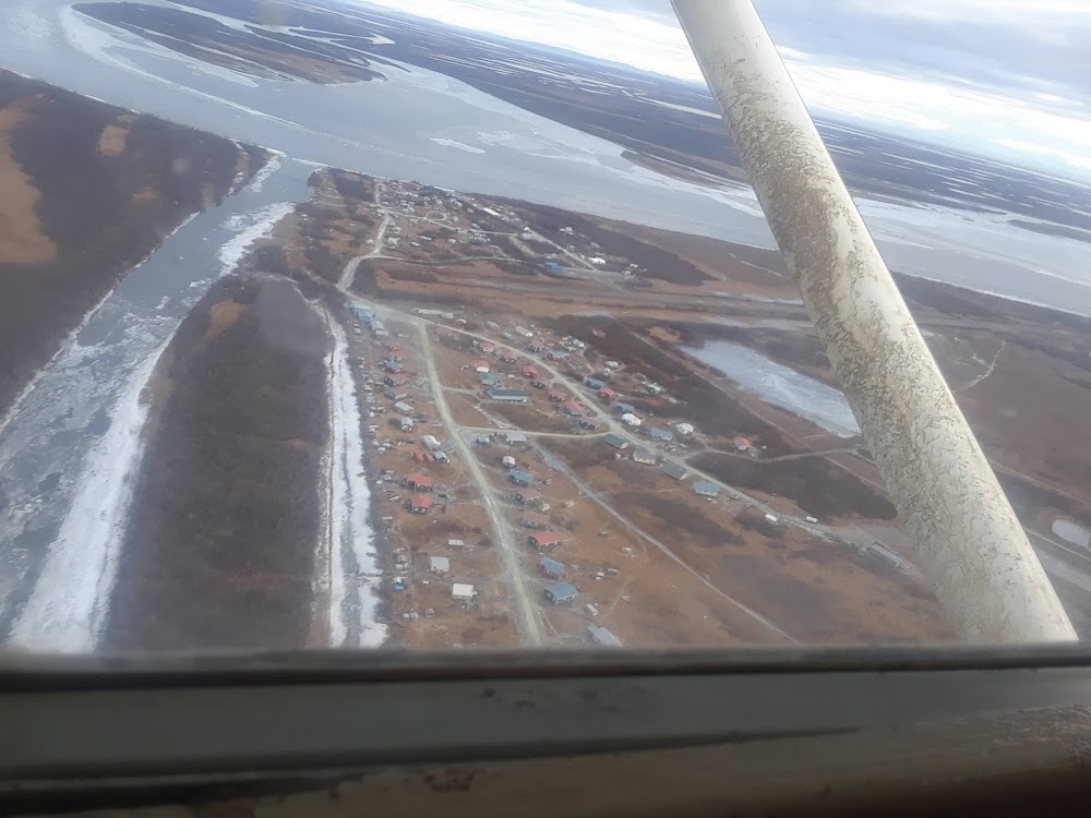
Napakiak, AK
Elevation:
16ft
Sectional:
Bethel
Activation date:
Sep 1976
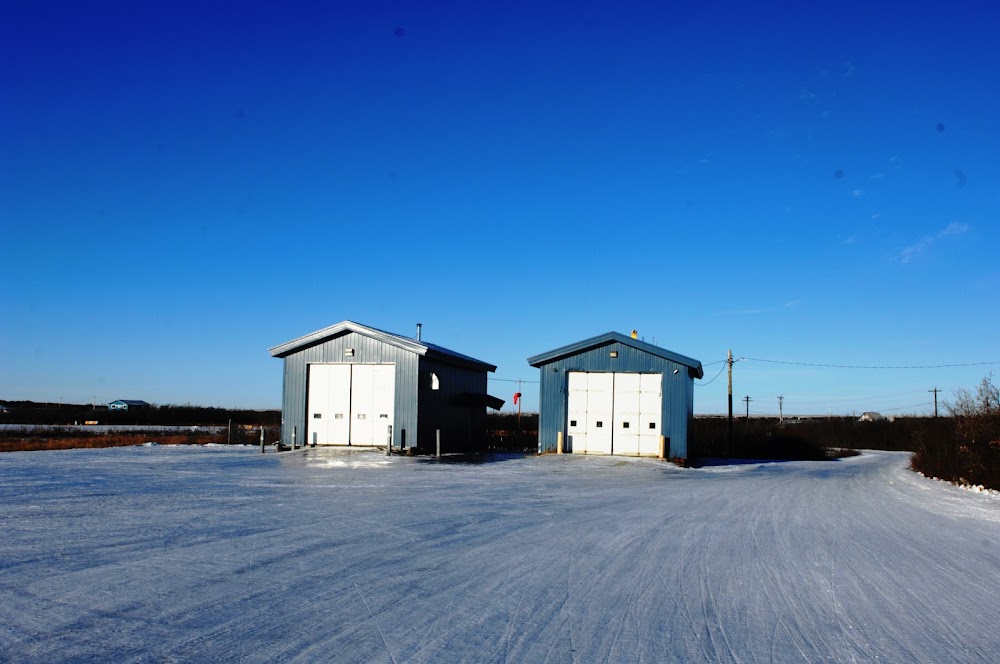
Fuel:
None
Runway 16/34:
3,248ft
Access: Open to the public
Click/tap to add an annotation marker to the map
Remarks
- This airport has been surveyed by the national geodetic survey.
- Spb asp: estabd prior to 1959.
- Actvt rotg bcn - ctaf.
- Spb ops in river; johnson slough unusbl.
- Rwy cond not mnt; rcmd visual insp prior to use.
- Windsock unrelbl.
- Wx camera avbl on internet at https://weathercams.faa.gov
- Nmrs arpts invof napakiak.
Comments