Pirep is a free, collaborative database of all public and private airports. All pilots are welcome to contribute their local knowledge to any airport, no registration required.
Public
Undocumented
METAR / TAF
Webcam
Edit Tags
No upcoming events. Is anything happening here soon?
Airport Statistics
- General description
- WiFi availability
- Fuel pump location
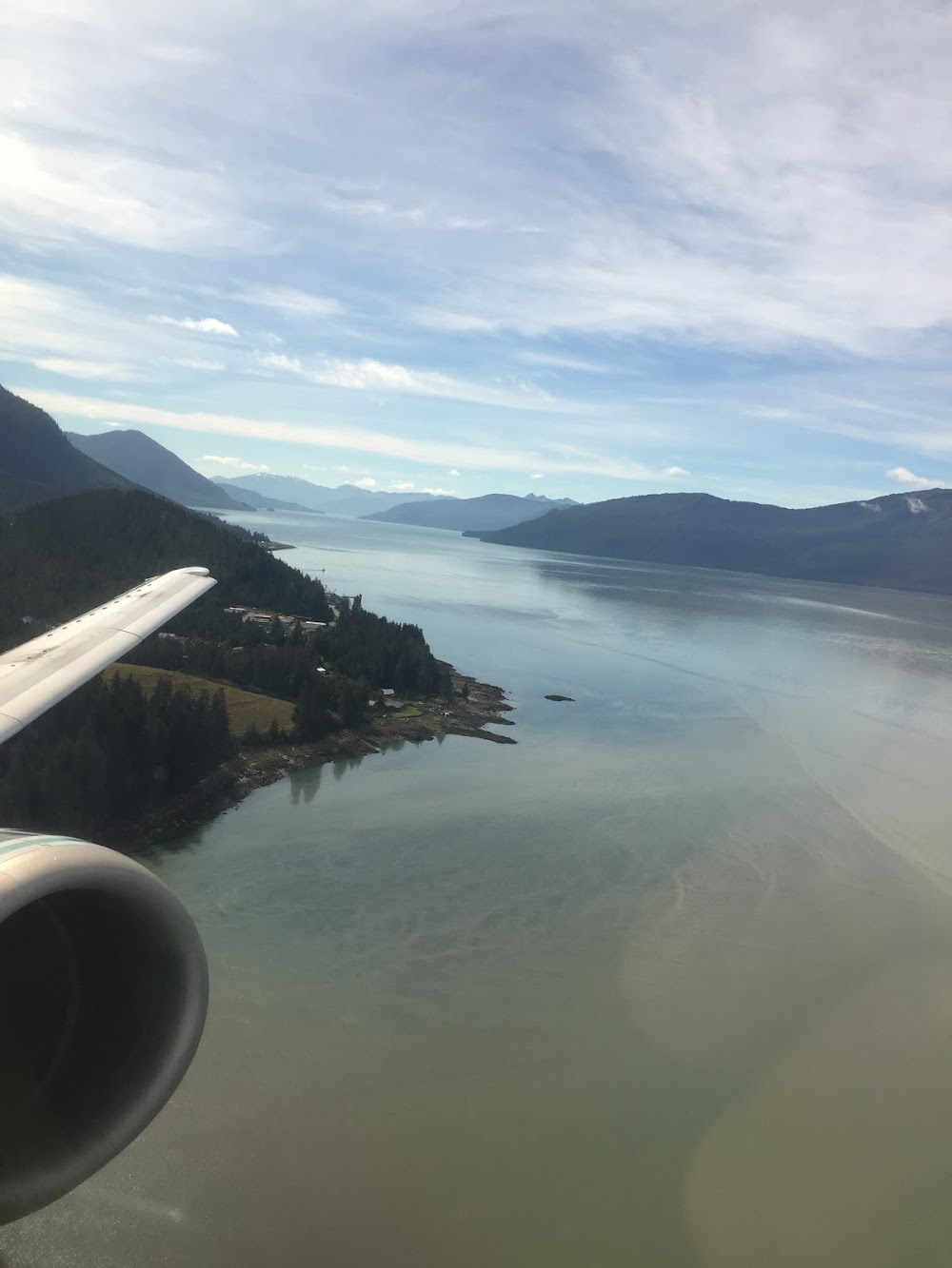
Location:
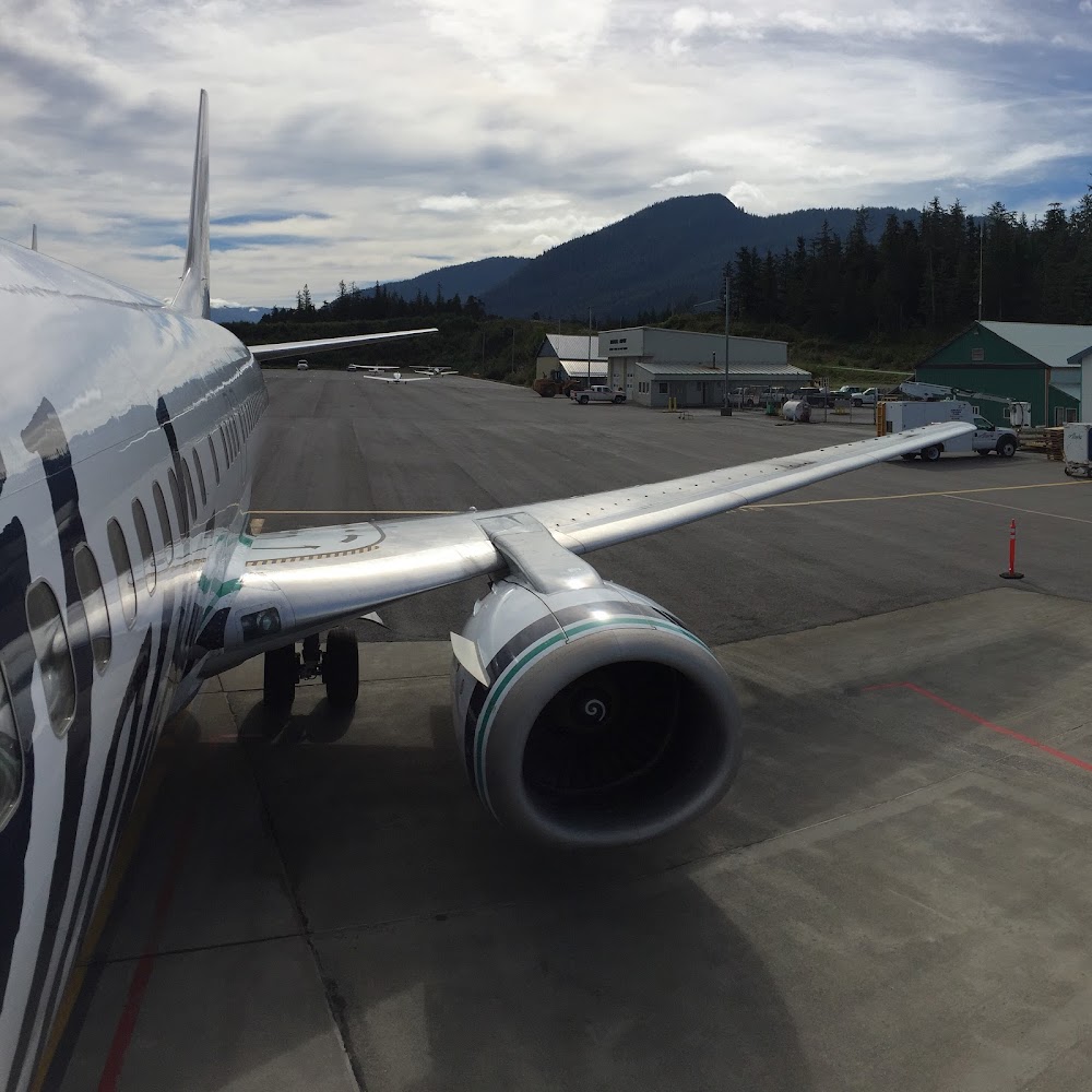
Wrangell, AK
Elevation:
44ft
Sectional:
Juneau
Fuel:
100LL, A (prices)
Runway 10/28:
6,000ft
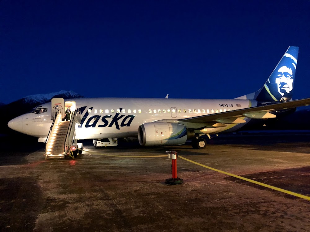
Access: Open to the public
Current Weather — VFR
-
Weather data is strictly informational and not for flight planning purposes.
-
METAR2026-07-20 13:56:00 AKDT
Ceiling: Sky clear Wind: 290° @ 5kt Temperature: 69°F Dewpoint: 51°F Weather: N/A Visbility: 10SM Raw:METAR PAWG 202156Z 29005KT 10SM CLR 21/11 A3018 RMK AO2 SLP221 T02060111 $ -
TAF2026-07-20 10:00:00 AKDT – 2026-07-20 11:00:00 AKDT
Ceiling: Sky clear Wind: 300° @ 4kt Weather: N/A Visbility: 6SM Clouds: @ ft Raw:TAF PAWG 201736Z 2018/2118 30004KT P6SM SKC FM201900 28006KT P6SM SKC FM210800 25002KT P6SM SKC AMD LTD TO CLD VIS AND WIND 2106/2115 -
TAF2026-07-20 11:00:00 AKDT – 2026-07-21 00:00:00 AKDT
Ceiling: Sky clear Wind: 280° @ 6kt Weather: N/A Visbility: 6SM Clouds: @ ft Raw:TAF PAWG 201736Z 2018/2118 30004KT P6SM SKC FM201900 28006KT P6SM SKC FM210800 25002KT P6SM SKC AMD LTD TO CLD VIS AND WIND 2106/2115 -
TAF2026-07-21 00:00:00 AKDT – 2026-07-21 10:00:00 AKDT
Ceiling: Sky clear Wind: 250° @ 2kt Weather: N/A Visbility: 6SM Clouds: @ ft Raw:TAF PAWG 201736Z 2018/2118 30004KT P6SM SKC FM201900 28006KT P6SM SKC FM210800 25002KT P6SM SKC AMD LTD TO CLD VIS AND WIND 2106/2115
Click/tap to add an annotation marker to the map
Remarks
- This airport has been surveyed by the national geodetic survey.
- Arff svc avbl durg sked acr ops only.
- Snow removal, wildlife ctl, cond rprtg & maint svc avbl durg duty hr; aft hr or req - amgr.
- High trrn imt s of rwy.
- Paew on rwy. rcmd visual insp bfr use. ctc fss for notams.
- Paja on rwy, twy & prkg apron na.
- Level island wx cameras avbl on internet at https://weathercams.faa.gov
- Arpt sand lrgr gradation than faa rcmdd/see ac150/5200-30.
Comments