Pirep is a free, collaborative database of all public and private airports. All pilots are welcome to contribute their local knowledge to any airport, no registration required.
Public
Undocumented
METAR / TAF
Webcam
Edit Tags
No upcoming events. Is anything happening here soon?
Airport Statistics
- Local flying clubs
- Landing & tie-down fees
- Airport map annotations
Location:
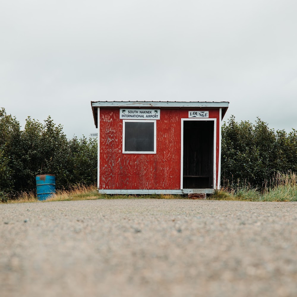
South Naknek, AK
Elevation:
162ft
Sectional:
Kodiak
Fuel:
None
Runway 13/31:
3,314ft
Runway 05/23:
2,264ft
Access: Open to the public
Current Weather — VFR
-
Weather data is strictly informational and not for flight planning purposes.
-
METAR2026-07-19 23:56:00 AKDT
Ceiling: 7,000ft Wind: 150° @ 12kt, gusts 19kt Temperature: °F Dewpoint: °F Weather: N/A Visbility: 10SM Clouds: Broken @ 7,000ft, Overcast @ 9,500ft Raw:METAR PFWS 200756Z AUTO 15012G19KT 10SM BKN070 OVC095 A2991 RMK AO2 SLPNO FZRANO $
Click/tap to add an annotation marker to the map
Remarks
- This airport has been surveyed by the national geodetic survey.
- Rwy cond unmnt; rcmnd visual insp prior to use.
- Twy slps downhill to nw; no line of sight btn end of twy & rwy 13/31.
- Wx camera avbl on internet at https://weathercams.faa.gov
- Vehicles, moose & bears on & invof rwys.
- Hvy tfc btn s naknek & naknek arpts less than 2 mi apart.
- Actvt vasi rwy 13; hirl rwy 05/23 & 13/31 - ctaf.
- Short cones & lights.
Comments