Pirep is a free, collaborative database of all public and private airports. All pilots are welcome to contribute their local knowledge to any airport, no registration required.
Public
Undocumented
Edit Tags
No upcoming events. Is anything happening here soon?
Airport Statistics
- WiFi availability
- Fuel pump location
- Local flying clubs
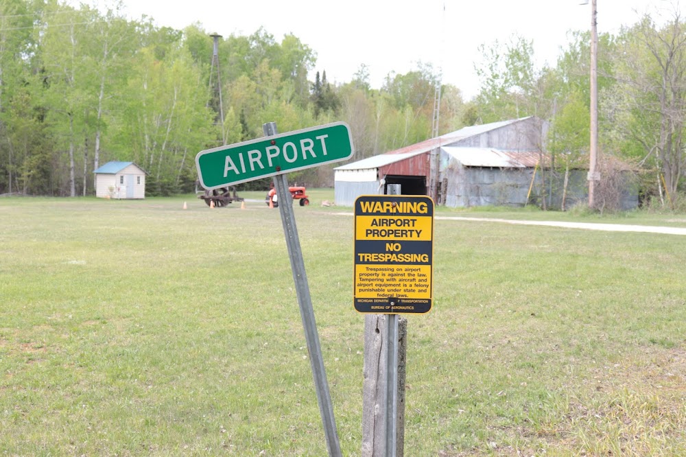
Location:
Topinabee, MI
Elevation:
690ft
Sectional:
Lake Huron
Activation date:
Oct 1981
Fuel:
None
Runway 01/19:
2,470ft
Access: Open to the public
This airport is privately owned but open to the public.
Click/tap to add an annotation marker to the map
No webcams added yet.
Remarks
- Prvdd obstns in apch sfc are rmvd/lwrd to prvd 20:1 clnc fm rwy end or thrs lctd/mkd to prvd 10:1 clnc ovr obstns.
- Trees all quadrants.
- Deer & birds invof arpt.
- Winter opns skis only. no snow removal.
- +60 ft windsock lctd at n end.
- For cd ctc minneapolis artcc at 651-463-5588.
- Ropes not prvdd. tiedown fees apply ck with mgmt.
- Apch ratio 0:1 to dthr ovr 60 ft trees, 60 ft l/r.
Comments