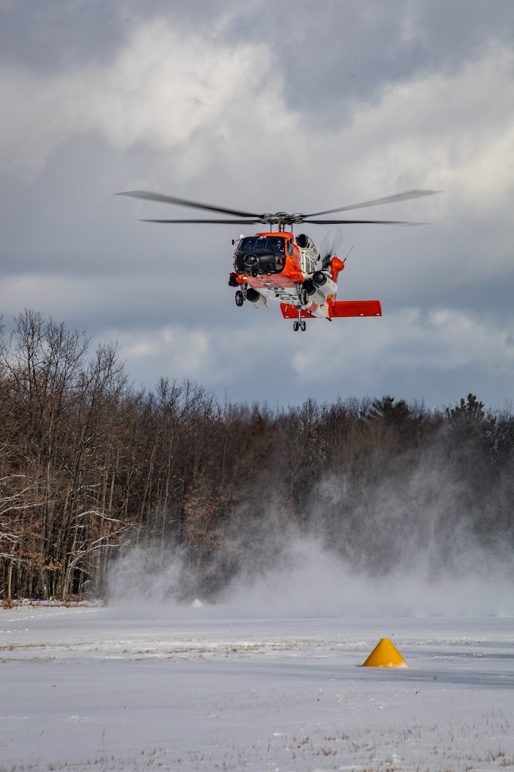
Pirep is a free, collaborative database of all public and private airports. All pilots are welcome to contribute their local knowledge to any airport, no registration required.
Public
Undocumented
Edit Tags
No upcoming events. Is anything happening here soon?
Airport Statistics
- WiFi availability
- General description
- Local flying clubs
Location:
Interlochen, MI
Elevation:
866ft
Sectional:
Green Bay
Activation date:
Jun 1949
Fuel:
None
Runway 05/23:
2,800ft
Runway 16/34:
1,700ft
Access: Open to the public
Click/tap to add an annotation marker to the map
No webcams added yet.
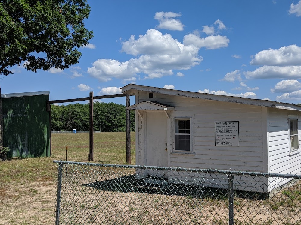
Remarks
- Estabd bfr 1959.
- Noise sensitive area 1 nm north of arpt.
- 460 ft ant 2 nm north of arpt.
- Uas oprg area south of rwy 34 defined by mowed x shape.
- Admin bldg aces: press v, then iii & ii simul, then i.
- No snow removal.
- For cd ctc minneapolis artcc at 651-463-5588.
- Cell.
Comments