Pirep is a free, collaborative database of all public and private airports. All pilots are welcome to contribute their local knowledge to any airport, no registration required.
Public
Undocumented
Edit Tags
No upcoming events. Is anything happening here soon?
Airport Statistics
- Fuel pump location
- Airport map annotations
- Webcam links
Location:
Goose Bay, AK
Elevation:
78ft
Sectional:
Anchorage
Activation date:
Oct 1949
Fuel:
None
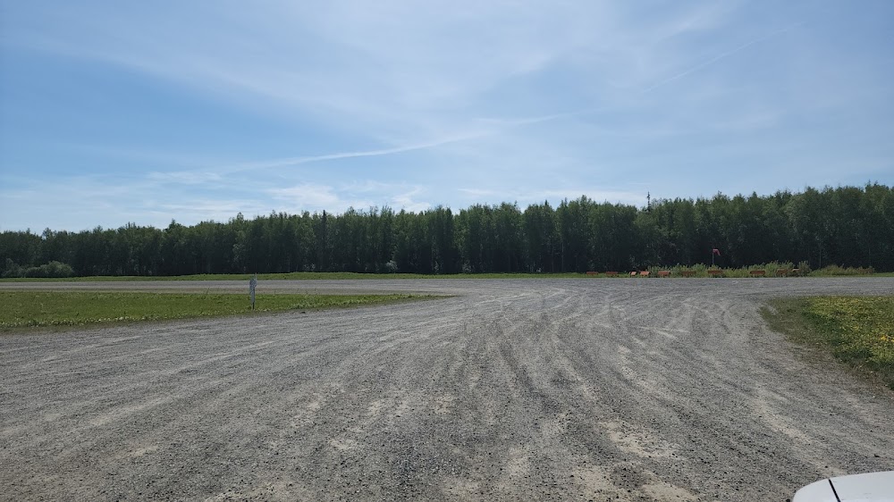
Runway 08/26:
3,000ft
Access: Open to the public
Click/tap to add an annotation marker to the map
No webcams added yet.
Remarks
- Rwy cond unmntd; rcmd visual insp bfr use.
- 808 ft lgtd twr 11700 ft nnw of rwy.
- Wx camera avbl on internet at https://weathercams.faa.gov
- Lrg mil low alt ops invof r-2203, goose bay, birchwood & big lake arpts. mil acft mnt mult ctaf freq. see current anchorage vfr tac insert & cntr notams.
- Poor cond.
- Windsock unrelbl.
- Rwy end thr panel.
- Rwy end thr panel.
Comments