Pirep is a free, collaborative database of all public and private airports. All pilots are welcome to contribute their local knowledge to any airport, no registration required.

No upcoming events. Is anything happening here soon?
Last updated: 2023-12-12 02:37:41 EST
Last updated: 2025-12-12 17:47:13 EST
Last updated: 2025-12-12 17:47:13 EST
Last updated: 2025-11-24 23:20:51 EST
Last updated: 2025-11-24 23:23:06 EST
Airport Statistics
- Landing & tie-down fees
- Webcam links
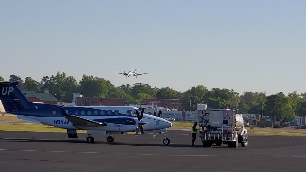
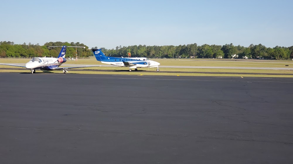
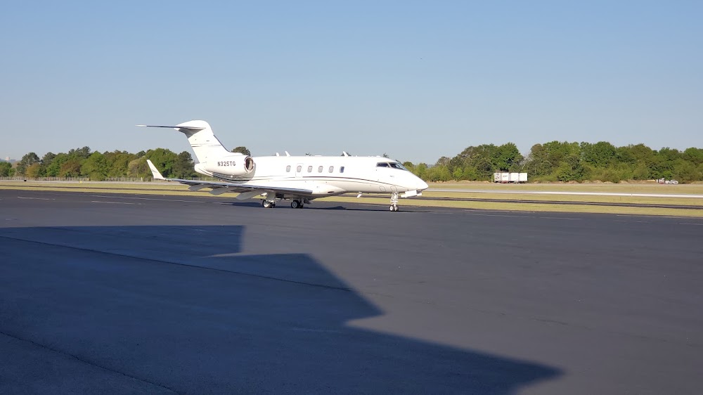
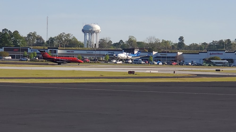
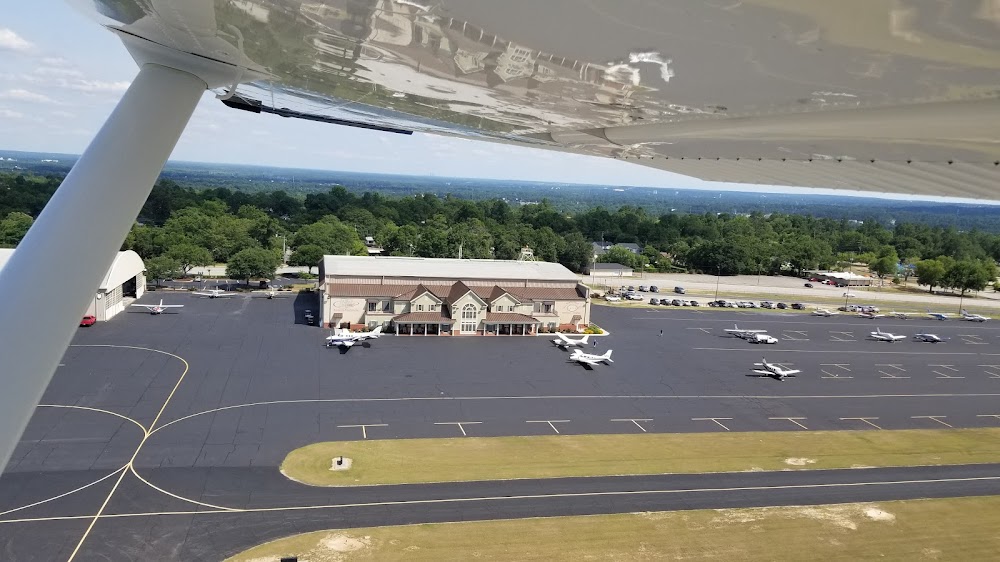
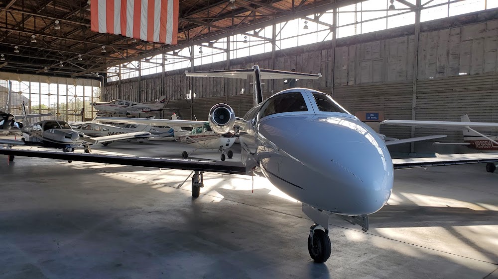
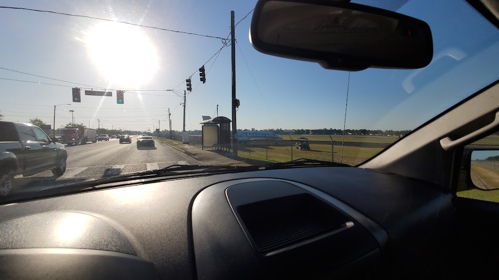
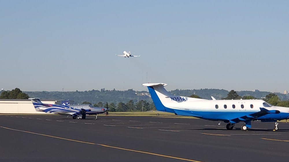
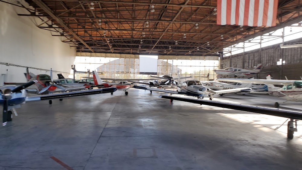
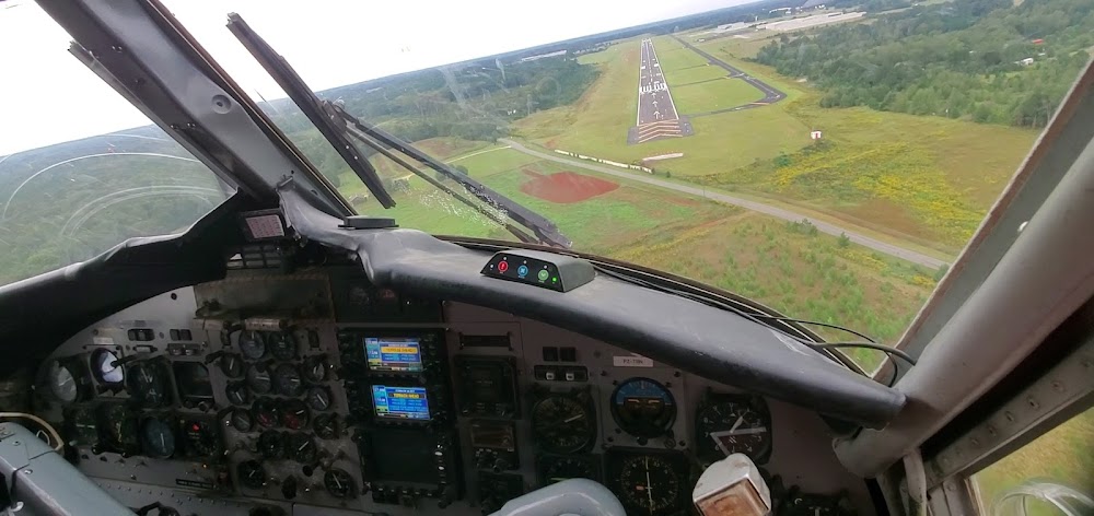
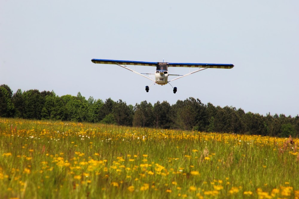
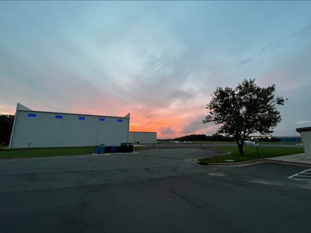
- Airport photos
Location:
Augusta, GA
Elevation:
422ft
Sectional:
Atlanta
Activation date:
Apr 1940
Fuel:
100LL, A1+ (prices)
Runway 05/23:
4,002ft
Runway 11/29:
3,733ft
Access: Open to the public
Similar Airports
Current Weather — VFR
-
Weather data is strictly informational and not for flight planning purposes.
-
METAR2026-07-24 16:53:00 EDT
Ceiling: Sky clear Wind: 010° @ 6kt Temperature: 84°F Dewpoint: 75°F Weather: N/A Visbility: 10SM Raw:METAR KDNL 242053Z AUTO 01006KT 10SM CLR 29/24 A3007 RMK AO2 SLP176 T02940239 56016 -
TAF2026-07-24 17:00:00 EDT – 2026-07-24 22:00:00 EDT
Ceiling: 3,500ft Wind: 350° @ 6kt Weather: Showers in vicinity Visbility: 6SM Clouds: Overcast @ 3,500ft Raw:TAF KDNL 242033Z 2421/2518 35006KT P6SM VCSH OVC035 TEMPO 2422/2502 2SM -TSRA OVC025CB FM250200 VRB03KT 4SM -SHRA BR SCT003 OVC007 FM251300 29006KT P6SM SCT007 OVC015 -
TAF2026-07-24 18:00:00 EDT – 2026-07-24 22:00:00 EDT
Ceiling: 2,500ft Wind: 000° @ kt Weather: Light thunderstorm rain Visbility: 2SM Clouds: Overcast @ 2,500ft Raw:TAF KDNL 242033Z 2421/2518 35006KT P6SM VCSH OVC035 TEMPO 2422/2502 2SM -TSRA OVC025CB FM250200 VRB03KT 4SM -SHRA BR SCT003 OVC007 FM251300 29006KT P6SM SCT007 OVC015 -
TAF2026-07-24 22:00:00 EDT – 2026-07-25 09:00:00 EDT
Ceiling: 700ft Wind: Variable Weather: Light rain showers, mist Visbility: 4SM Clouds: Scattered @ 300ft, Overcast @ 700ft Raw:TAF KDNL 242033Z 2421/2518 35006KT P6SM VCSH OVC035 TEMPO 2422/2502 2SM -TSRA OVC025CB FM250200 VRB03KT 4SM -SHRA BR SCT003 OVC007 FM251300 29006KT P6SM SCT007 OVC015 -
TAF2026-07-25 09:00:00 EDT – 2026-07-25 14:00:00 EDT
Ceiling: 1,500ft Wind: 290° @ 6kt Weather: N/A Visbility: 6SM Clouds: Scattered @ 700ft, Overcast @ 1,500ft Raw:TAF KDNL 242033Z 2421/2518 35006KT P6SM VCSH OVC035 TEMPO 2422/2502 2SM -TSRA OVC025CB FM250200 VRB03KT 4SM -SHRA BR SCT003 OVC007 FM251300 29006KT P6SM SCT007 OVC015
Click/tap to add an annotation marker to the map
No webcams added yet.
Remarks
- Existed prior to 1959.
- Pilots should be alert for turbo-jet tfc transiting the tfc area enr to bush fld 6 miles south.
- Actvt reil rwy 05, 11, 23; papi rwy 05, 11, & 23; mirl rwy 05/23 & 11/29 - ctaf.
- Apch ratio 0:1 to dsplcd thld; 20 ft road/fence at dsplcd thld & 245 ft left.
- Apch ratio 16:1 to dsplcd thld; 34ft light pole, 577 ft from thld, 213 ft right.
- Apch ratio 50:1 to dsplcd thld.
- Apch ratio 13:1 to dsplcd thld; +55 ft trees 715 ft from thld, 139 ft left.
Comments