Pirep is a free, collaborative database of all public and private airports. All pilots are welcome to contribute their local knowledge to any airport, no registration required.

Public
Undocumented
METAR / TAF
Webcam
Edit Tags
No upcoming events. Is anything happening here soon?
Airport Statistics
- Transient parking location
- WiFi availability
- Tags
Location:
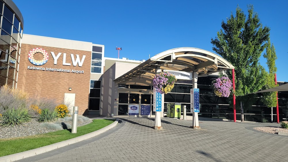
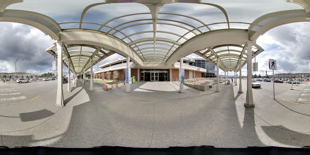
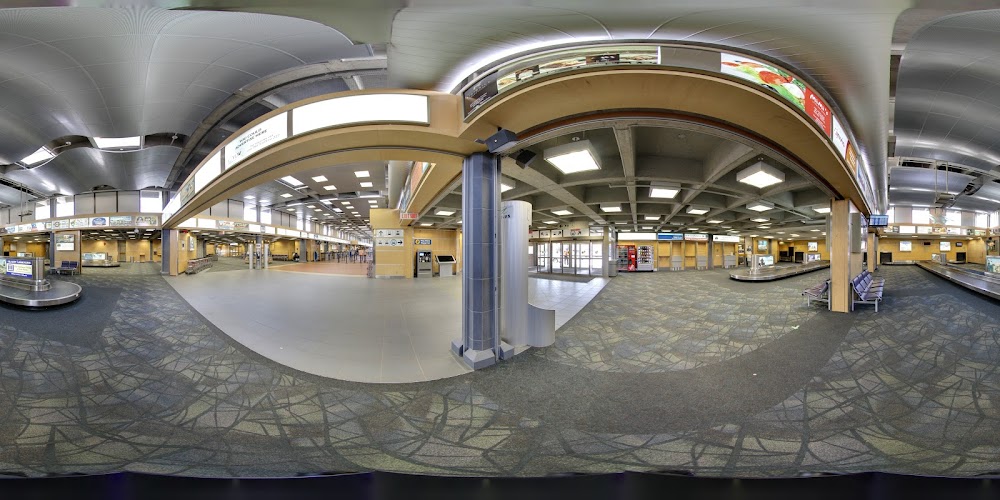
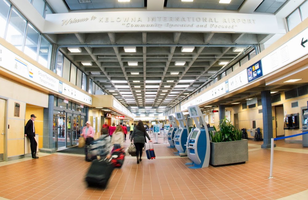
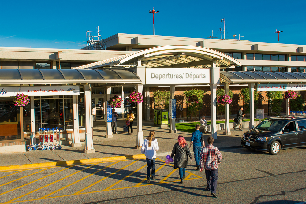
Kelowna, British Columbia
Elevation:
1,421ft
Runway 16/34:
8,900ft
Warning: This airport was imported from a non-authoritative source. Its public/private status may not be accurate.
Access: Open to the public
Current Weather — VFR
-
Weather data is strictly informational and not for flight planning purposes.
-
METAR2026-07-16 12:00:00 PDT
Ceiling: 15,000ft Wind: 320° @ 16kt, gusts 23kt Temperature: 82°F Dewpoint: 48°F Weather: N/A Visbility: 9SM Clouds: Broken @ 15,000ft Raw:METAR CYLW 161900Z AUTO 32016G23KT 9SM BKN150 28/09 A2992 RMK SLP124 DENSITY ALT 3300FT -
TAF2026-07-16 12:00:00 PDT – 2026-07-16 14:00:00 PDT
Ceiling: 15,000ft Wind: 330° @ 12kt, gusts 22kt Weather: N/A Visbility: 6SM Clouds: Broken @ 15,000ft Raw:TAF CYLW 161840Z 1619/1707 33012G22KT P6SM BKN150 FM162100 34012G22KT P6SM SCT090 TEMPO 1621/1703 VRB15G25KT P6SM -SHRA VCTS BKN090CB FM170300 34010KT P6SM SCT090 BECMG 1705/1707 VRB03KT RMK FCST BASED ON AUTO OBS. NXT FCST BY 170100Z -
TAF2026-07-16 14:00:00 PDT – 2026-07-16 20:00:00 PDT
Ceiling: 9,000ft Wind: Variable, gusts 25kt Weather: Light rain showers, thunderstorm in vicinity Visbility: 6SM Clouds: Broken @ 9,000ft Raw:TAF CYLW 161840Z 1619/1707 33012G22KT P6SM BKN150 FM162100 34012G22KT P6SM SCT090 TEMPO 1621/1703 VRB15G25KT P6SM -SHRA VCTS BKN090CB FM170300 34010KT P6SM SCT090 BECMG 1705/1707 VRB03KT RMK FCST BASED ON AUTO OBS. NXT FCST BY 170100Z -
TAF2026-07-16 14:00:00 PDT – 2026-07-16 20:00:00 PDT
Ceiling: Sky clear Wind: 340° @ 12kt, gusts 22kt Weather: N/A Visbility: 6SM Clouds: Scattered @ 9,000ft Raw:TAF CYLW 161840Z 1619/1707 33012G22KT P6SM BKN150 FM162100 34012G22KT P6SM SCT090 TEMPO 1621/1703 VRB15G25KT P6SM -SHRA VCTS BKN090CB FM170300 34010KT P6SM SCT090 BECMG 1705/1707 VRB03KT RMK FCST BASED ON AUTO OBS. NXT FCST BY 170100Z -
TAF2026-07-16 20:00:00 PDT – 2026-07-16 22:00:00 PDT
Ceiling: Sky clear Wind: 340° @ 10kt Weather: N/A Visbility: 6SM Clouds: Scattered @ 9,000ft Raw:TAF CYLW 161840Z 1619/1707 33012G22KT P6SM BKN150 FM162100 34012G22KT P6SM SCT090 TEMPO 1621/1703 VRB15G25KT P6SM -SHRA VCTS BKN090CB FM170300 34010KT P6SM SCT090 BECMG 1705/1707 VRB03KT RMK FCST BASED ON AUTO OBS. NXT FCST BY 170100Z -
TAF2026-07-16 22:00:00 PDT – 2026-07-17 00:00:00 PDT
Ceiling: Sky clear Wind: Variable Weather: N/A Visbility: 6SM Clouds: Scattered @ 9,000ft Raw:TAF CYLW 161840Z 1619/1707 33012G22KT P6SM BKN150 FM162100 34012G22KT P6SM SCT090 TEMPO 1621/1703 VRB15G25KT P6SM -SHRA VCTS BKN090CB FM170300 34010KT P6SM SCT090 BECMG 1705/1707 VRB03KT RMK FCST BASED ON AUTO OBS. NXT FCST BY 170100Z
Click/tap to add an annotation marker to the map
Comments