Pirep is a free, collaborative database of all public and private airports. All pilots are welcome to contribute their local knowledge to any airport, no registration required.
Public
Webcam
METAR / TAF
Edit Tags
No upcoming events. Is anything happening here soon?
Last updated: 2023-11-07 20:57:20 PST
Last updated: 2023-11-07 20:59:21 PST
Last updated: 2023-10-25 21:22:35 PDT
Last updated: 2023-10-25 21:22:35 PDT
Last updated: 2023-10-25 21:22:35 PDT
Last updated: 2023-10-25 21:22:35 PDT
Airport Statistics
- Airport photos
- Tags
- Airport map annotations
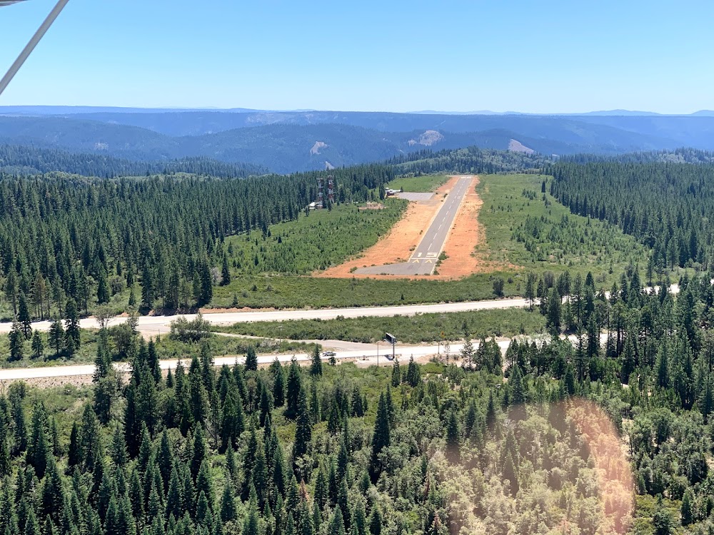
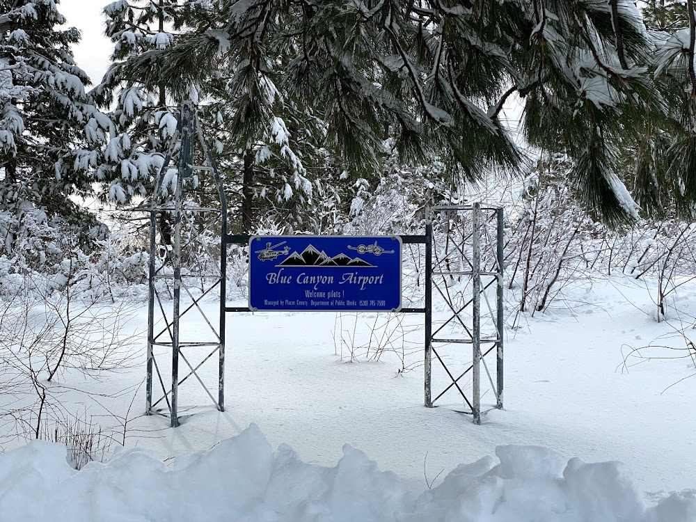
Location:
Emigrant Gap, CA
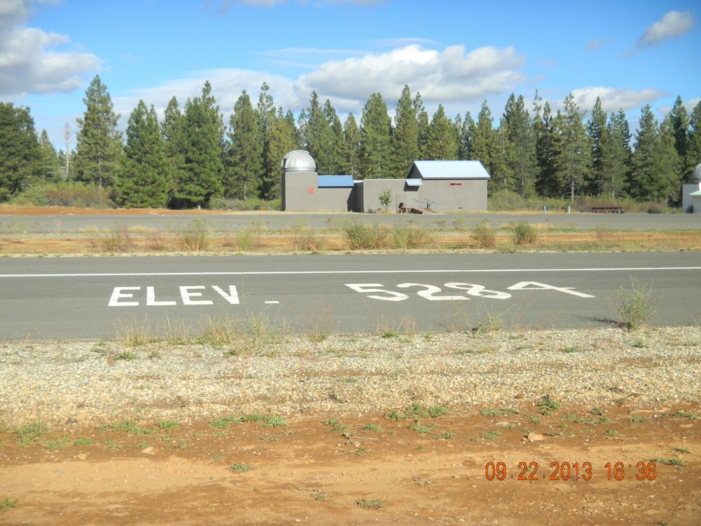
Elevation:
5,283ft
Sectional:
San Francisco
Activation date:
May 1941
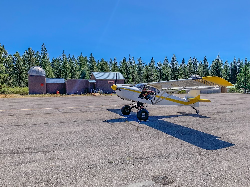
Fuel:
None
Runway 15/33:
3,300ft
Access: Open to the public
Current Weather — VFR
-
Weather data is strictly informational and not for flight planning purposes.
-
METAR2026-07-21 04:52:00 PDT
Ceiling: Sky clear Wind: Calm Temperature: 69°F Dewpoint: 51°F Weather: N/A Visbility: 10SM Raw:METAR KBLU 211152Z AUTO 00000KT 10SM CLR 21/11 A3017 RMK AO2 SLP107 T02060106 10222 20200 56008 $
Click/tap to add an annotation marker to the map
Remarks
- This airport has been surveyed by the national geodetic survey.
- Predates to 1958 faa act.
- Rotg bcn ots indefly .
- Actvt rotg bcn - ctaf.
- Arpt clsd ss-sr.
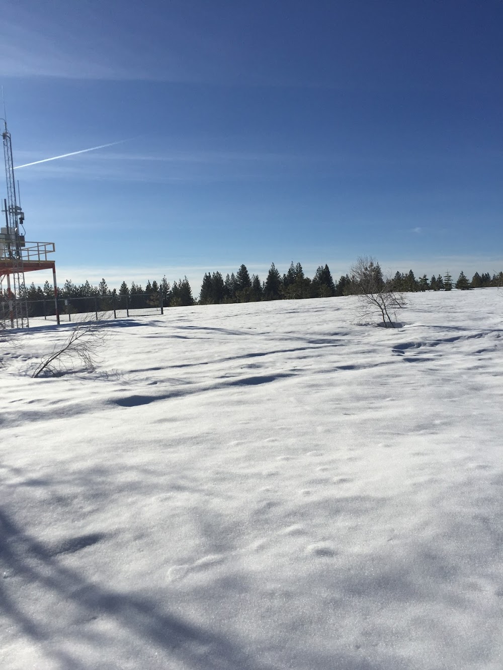
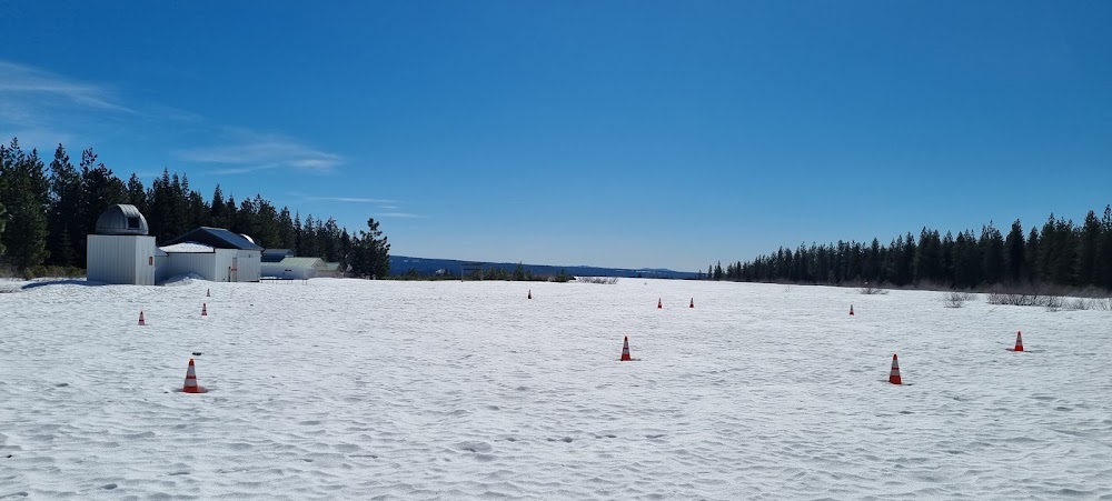
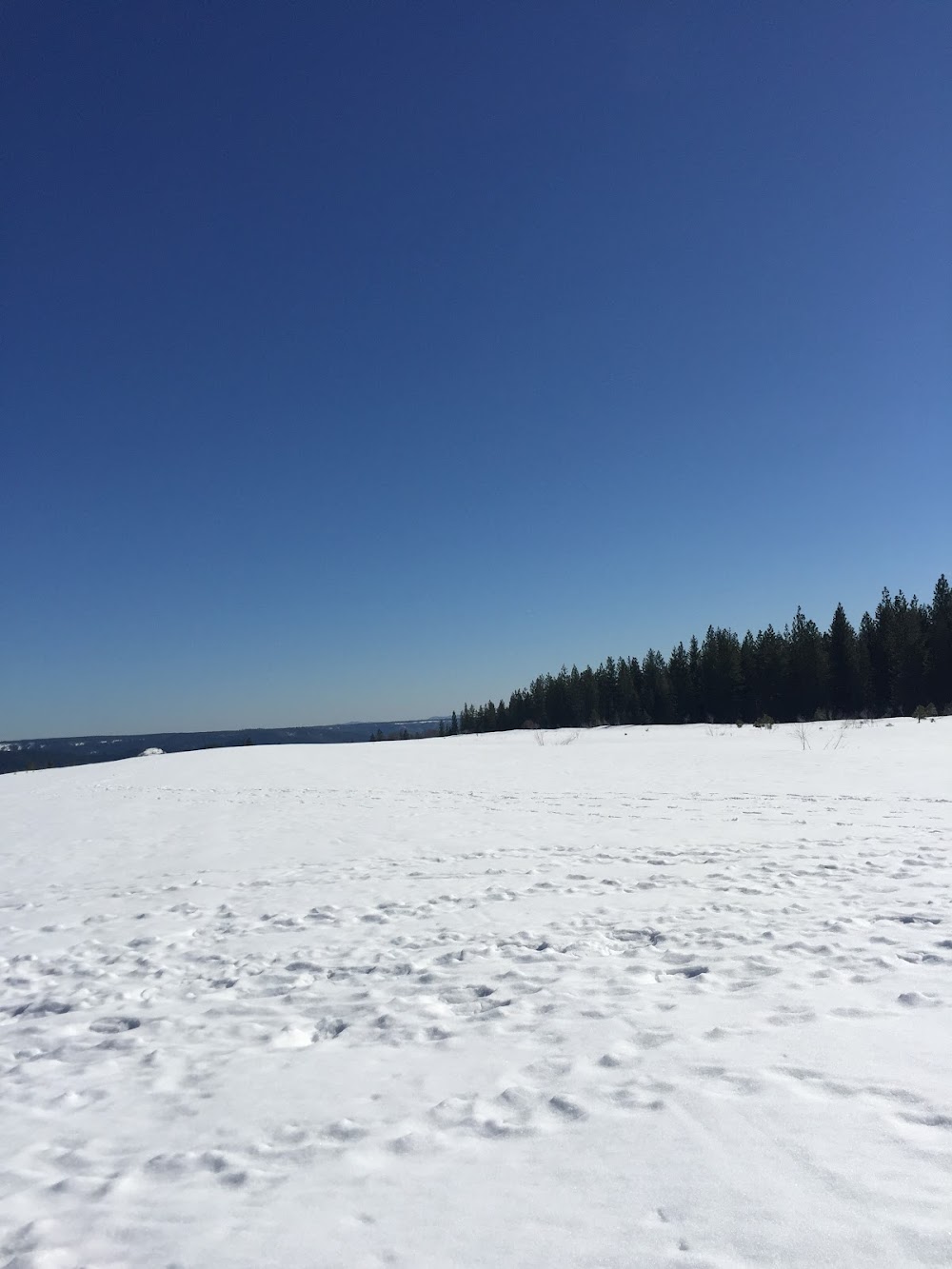
- Do not attempt to land with snow on the runway. no snow removal services are provided.
- For cd ctc oakland artcc at 510-745-3380.
- Actvt mirl rwy 15/33 - ctaf.
There is no webcam for Blue Canyon, but CA DoT (CalTrans) has one on I-80 very close to the field, to give you an accurate sense of current weather conditions in the area. It’s listed here: https://cwwp2.dot.ca.gov/vm/loc/d3/hwy80atwhitmoregrade.htm