Pirep is a free, collaborative database of all public and private airports. All pilots are welcome to contribute their local knowledge to any airport, no registration required.


Public
Undocumented
METAR / TAF
Edit Tags
No upcoming events. Is anything happening here soon?
Airport Statistics
- WiFi availability
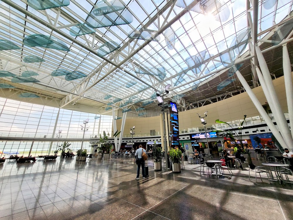
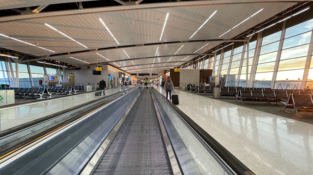
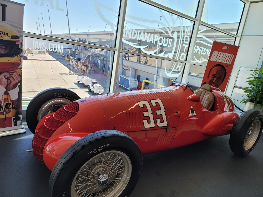
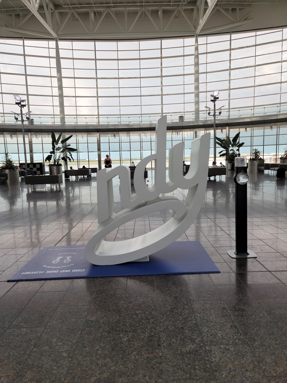
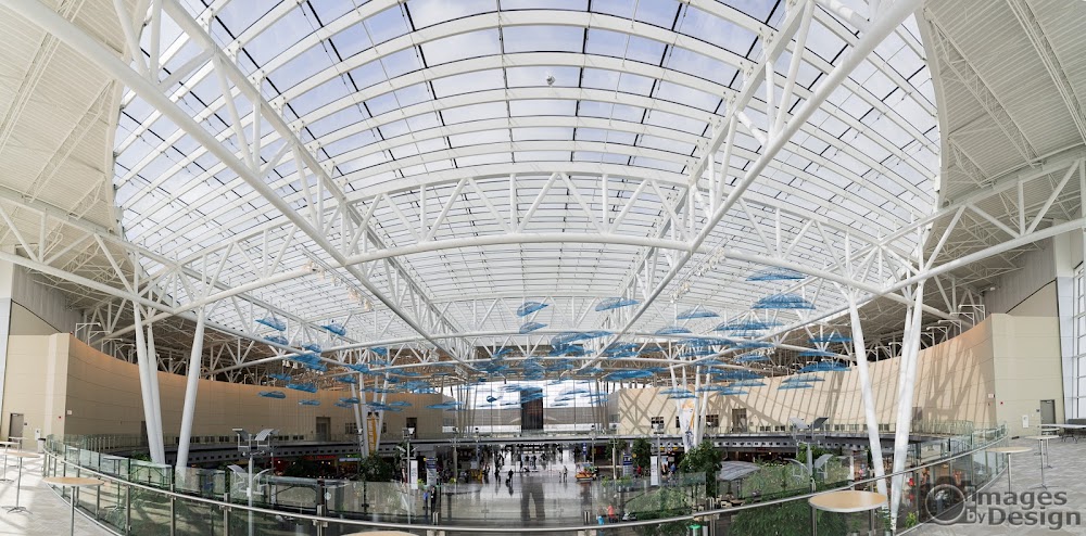
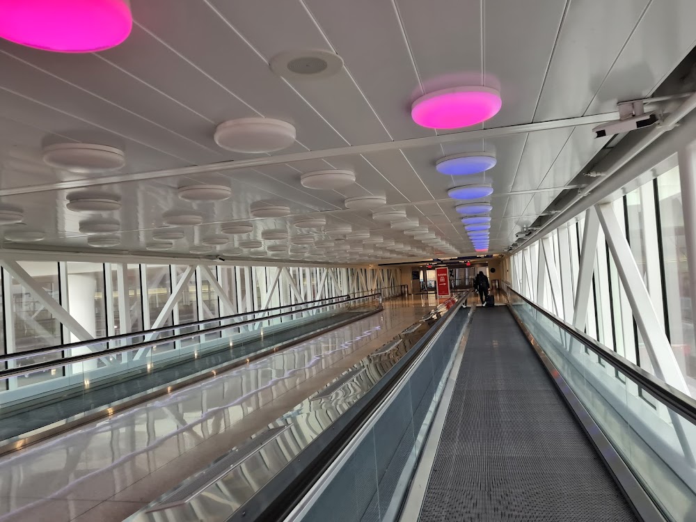
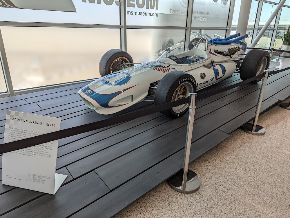
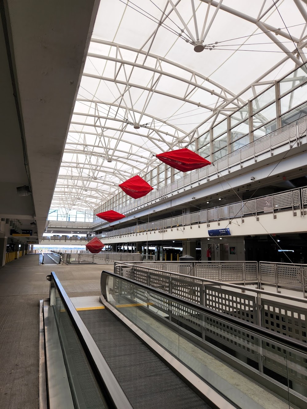
- Airport photos
- Crew car availability
Location:
Indianapolis, IN
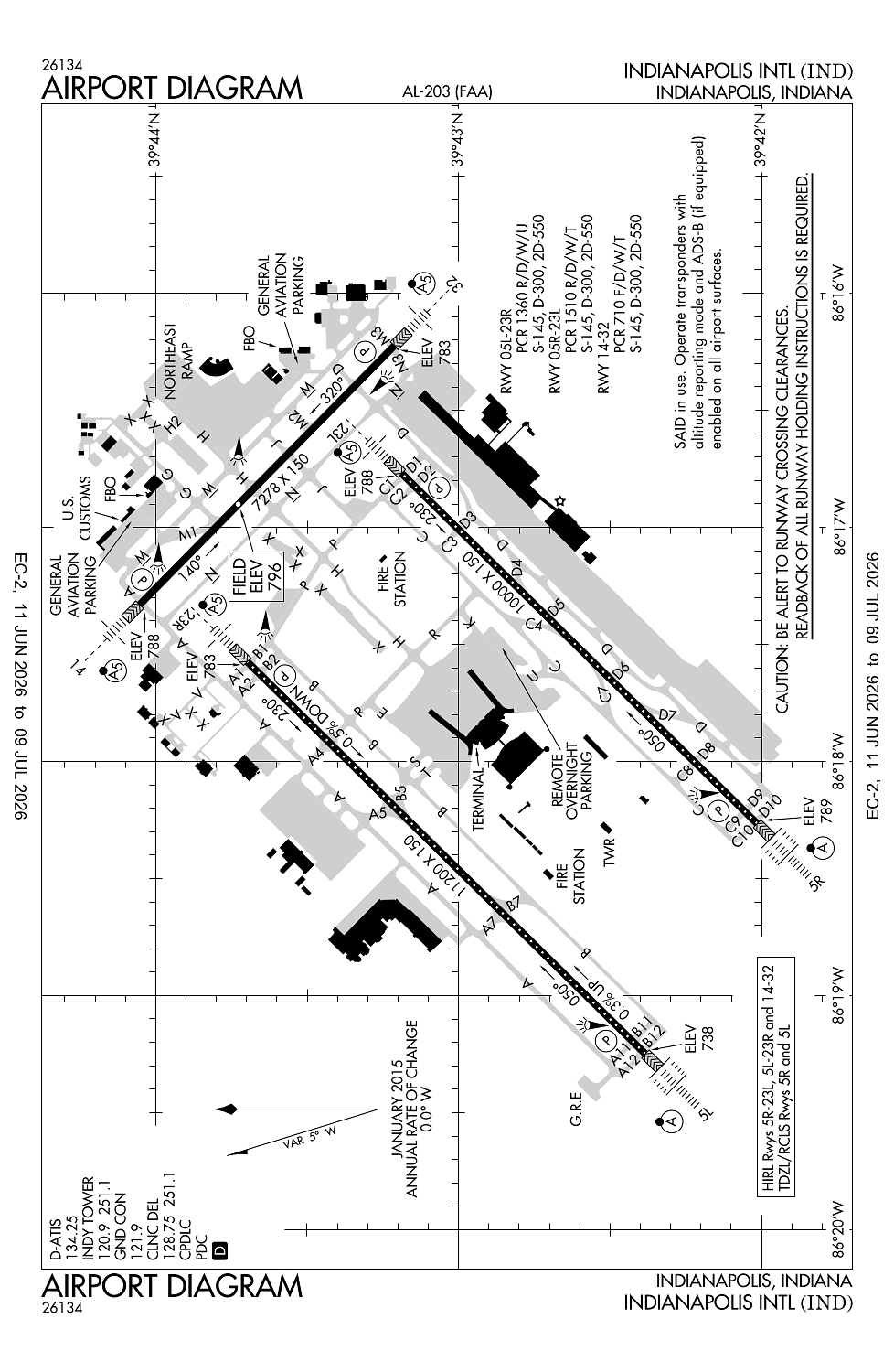
Elevation:
796ft
Sectional:
St Louis
Activation date:
Apr 1940
Fuel:
100LL, A, A1+ (prices)
Runway 05L/23R:
11,200ft
Runway 05R/23L:
10,000ft
Runway 14/32:
7,278ft
Access: Open to the public
Current Weather — VFR
-
Weather data is strictly informational and not for flight planning purposes.
-
METAR2026-06-26 08:54:00 EDT
Ceiling: 10,000ft Wind: 100° @ 5kt Temperature: 69°F Dewpoint: 66°F Weather: Light rain Visbility: 9SM Clouds: Scattered @ 4,400ft, Overcast @ 10,000ft Raw:METAR KIND 261254Z 10005KT 9SM -RA SCT044 OVC100 21/19 A3006 RMK AO2 SLP174 P0000 T02060194 -
TAF2026-06-26 08:00:00 EDT – 2026-06-26 12:00:00 EDT
Ceiling: 8,000ft Wind: Variable Weather: Showers in vicinity Visbility: 6SM Clouds: Scattered @ 4,000ft, Overcast @ 8,000ft Raw:TAF KIND 261120Z 2612/2718 VRB04KT P6SM VCSH SCT040 OVC080 TEMPO 2612/2616 3SM -SHRA BR OVC015 FM261600 11007KT 5SM -SHRA BR SCT008 OVC020 PROB30 2619/2701 2SM TSRA BR OVC008CB FM270100 15008KT 4SM -SHRA BR OVC006 -
TAF2026-06-26 08:00:00 EDT – 2026-06-26 12:00:00 EDT
Ceiling: 1,500ft Wind: 000° @ kt Weather: Light rain showers, mist Visbility: 3SM Clouds: Overcast @ 1,500ft Raw:TAF KIND 261120Z 2612/2718 VRB04KT P6SM VCSH SCT040 OVC080 TEMPO 2612/2616 3SM -SHRA BR OVC015 FM261600 11007KT 5SM -SHRA BR SCT008 OVC020 PROB30 2619/2701 2SM TSRA BR OVC008CB FM270100 15008KT 4SM -SHRA BR OVC006 -
TAF2026-06-26 12:00:00 EDT – 2026-06-26 21:00:00 EDT
Ceiling: 2,000ft Wind: 110° @ 7kt Weather: Light rain showers, mist Visbility: 5SM Clouds: Scattered @ 800ft, Overcast @ 2,000ft Raw:TAF KIND 261120Z 2612/2718 VRB04KT P6SM VCSH SCT040 OVC080 TEMPO 2612/2616 3SM -SHRA BR OVC015 FM261600 11007KT 5SM -SHRA BR SCT008 OVC020 PROB30 2619/2701 2SM TSRA BR OVC008CB FM270100 15008KT 4SM -SHRA BR OVC006 -
TAF2026-06-26 15:00:00 EDT – 2026-06-26 21:00:00 EDT
Ceiling: 800ft Wind: 000° @ kt Weather: Thunderstorm rain, mist Visbility: 2SM Clouds: Overcast @ 800ft Raw:TAF KIND 261120Z 2612/2718 VRB04KT P6SM VCSH SCT040 OVC080 TEMPO 2612/2616 3SM -SHRA BR OVC015 FM261600 11007KT 5SM -SHRA BR SCT008 OVC020 PROB30 2619/2701 2SM TSRA BR OVC008CB FM270100 15008KT 4SM -SHRA BR OVC006 -
TAF2026-06-26 21:00:00 EDT – 2026-06-27 14:00:00 EDT
Ceiling: 600ft Wind: 150° @ 8kt Weather: Light rain showers, mist Visbility: 4SM Clouds: Overcast @ 600ft Raw:TAF KIND 261120Z 2612/2718 VRB04KT P6SM VCSH SCT040 OVC080 TEMPO 2612/2616 3SM -SHRA BR OVC015 FM261600 11007KT 5SM -SHRA BR SCT008 OVC020 PROB30 2619/2701 2SM TSRA BR OVC008CB FM270100 15008KT 4SM -SHRA BR OVC006
Click/tap to add an annotation marker to the map
No webcams added yet.
Remarks
- Prim student tgl not pmtd.
- Large flocks of birds on & invof arpt.
- Noise abatement procedures in effect ctc arpt mgr.
- Be alert to close proximity of rwy 14/32 to northeast ramp.
- Twy h runs contiguous at northeast ramp.
Comments