Pirep is a free, collaborative database of all public and private airports. All pilots are welcome to contribute their local knowledge to any airport, no registration required.
No upcoming events. Is anything happening here soon?
Last updated: 2023-04-05 09:56:21 EDT
Last updated: 2023-03-31 11:11:54 EDT
Last updated: 2023-03-31 11:11:54 EDT
Last updated: 2023-03-31 11:11:54 EDT
Last updated: 2023-03-31 11:11:54 EDT
Airport Statistics
Location:
Apalachicola, FL
Elevation:
3ft
Sectional:
New Orleans
Activation date:
Mar 1983
Fuel:
None
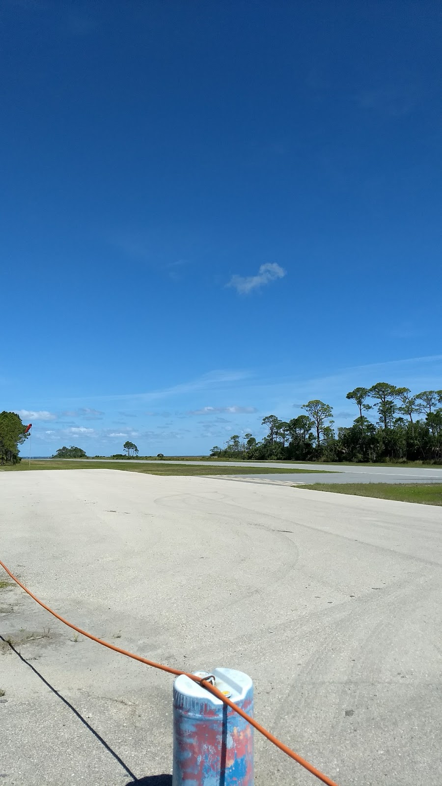
Runway 14/32:
3,339ft
Access: Private, but open to public with restrictions
Restricted: This airport is effectively closed as it is surrounded by private property, and you can only get off the airport as a homeowner or registered guest.
Similar Airports

Click/tap to add an annotation marker to the map
No webcams added yet.
Remarks
- Vfr use only.
- Ground access by permission only.
- 3 ft fence in primary surface 105 ft west of first 300 ft of ry 32.
- Large birds on and invof ry.
- Trees, brush and berm, 95-124 ft east of ry cntrln ry 32.
- 5 ft berm, first 1250 ft, 100 ft west of cntrln ry 14.
- Ry and ramp are open for pub use. all other surrounding grounds are pvt. access to all areas except the ry and ramp rqr an owner wi the property association.
- For cd ctc tyndall apch at 850-283-2900 or 850-283-3353, when apch clsd ctc jacksonville artcc at 904-845-1592.
Comments