Pirep is a free, collaborative database of all public and private airports. All pilots are welcome to contribute their local knowledge to any airport, no registration required.
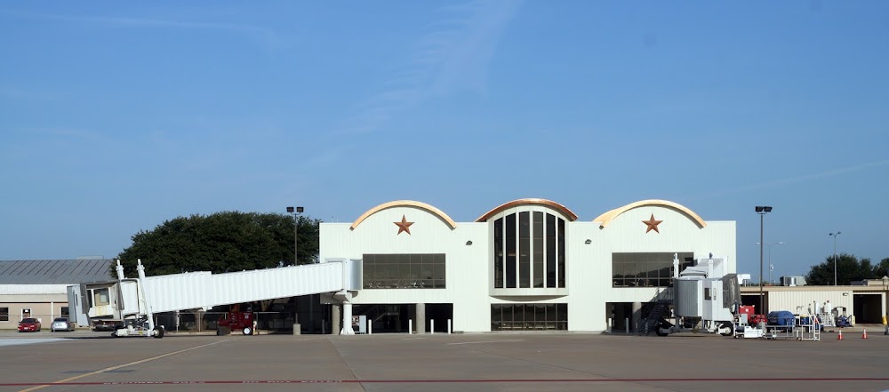
Attribution:
San Angelo Regional Airport (SJT) - Mathis Field
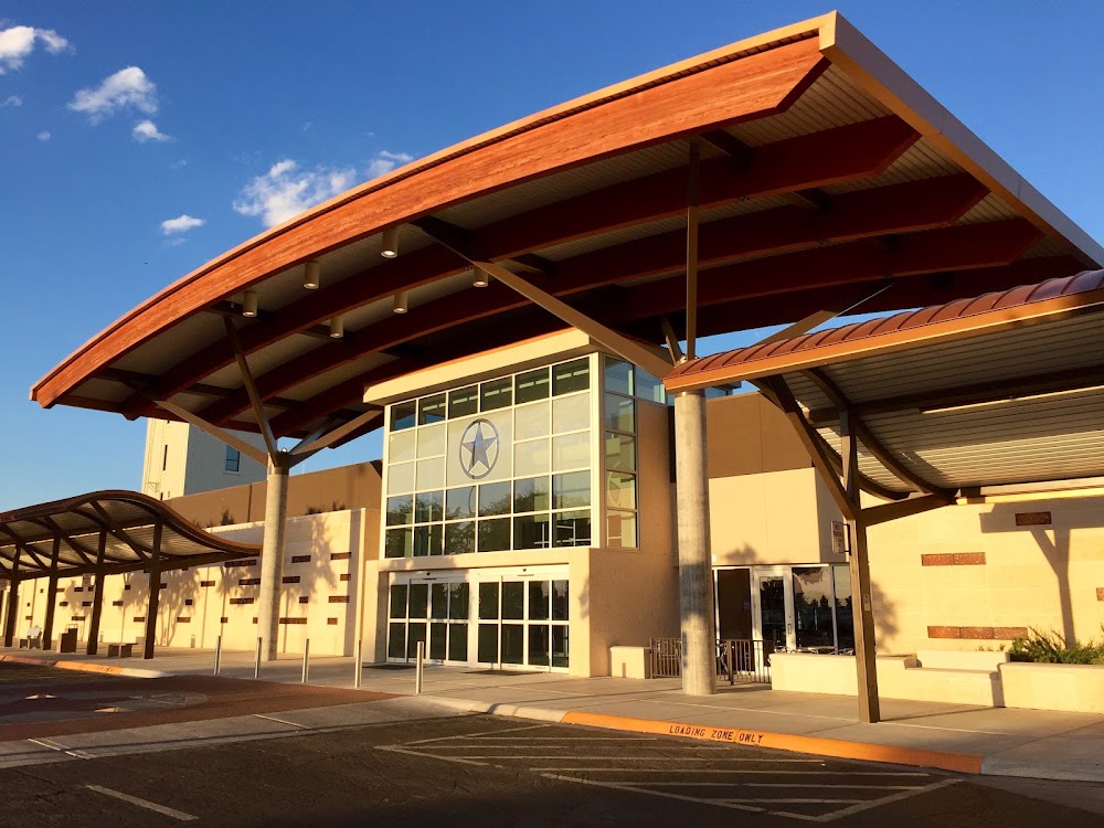
Attribution:
Jonathan Cutrer
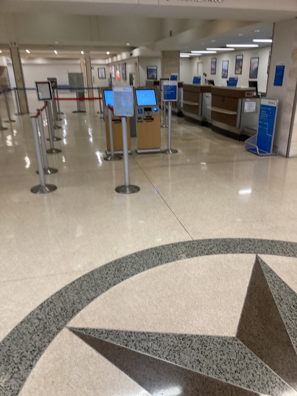
Attribution:
Kerbal Sanders
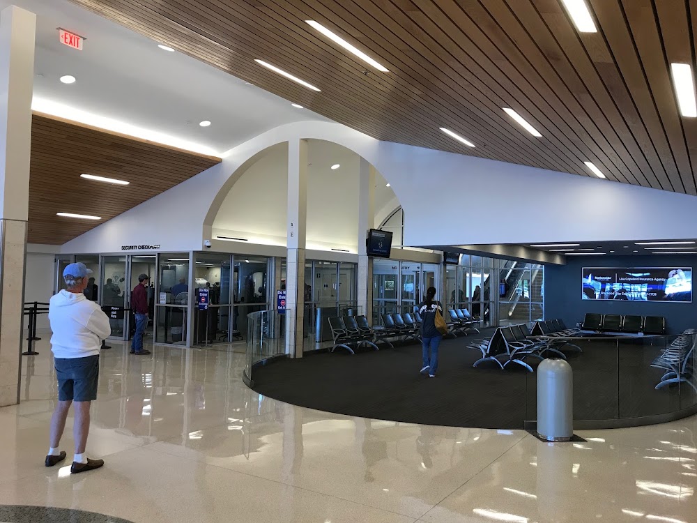
Attribution:
Kent Kirchstein
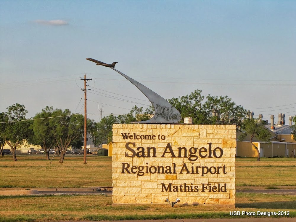
Attribution:
Heidi Sue Bloebaum
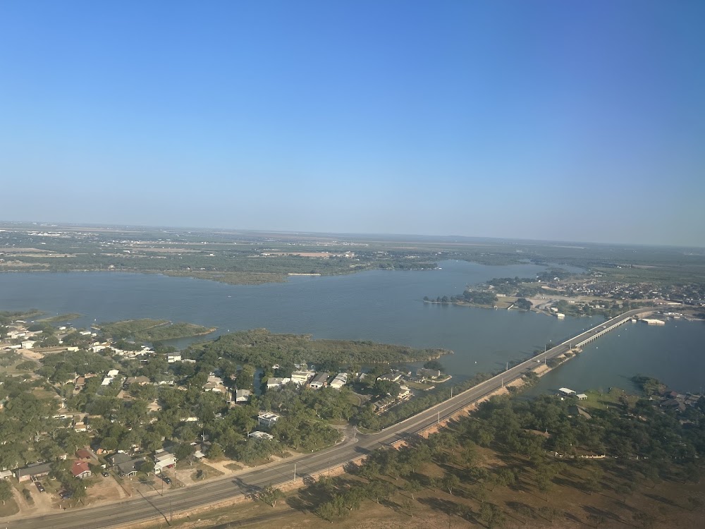
Attribution:
Shirley Perez Anel
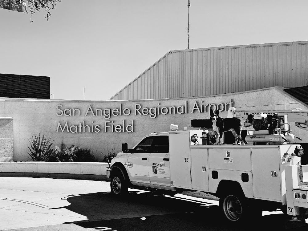
Attribution:
Heath Elliott
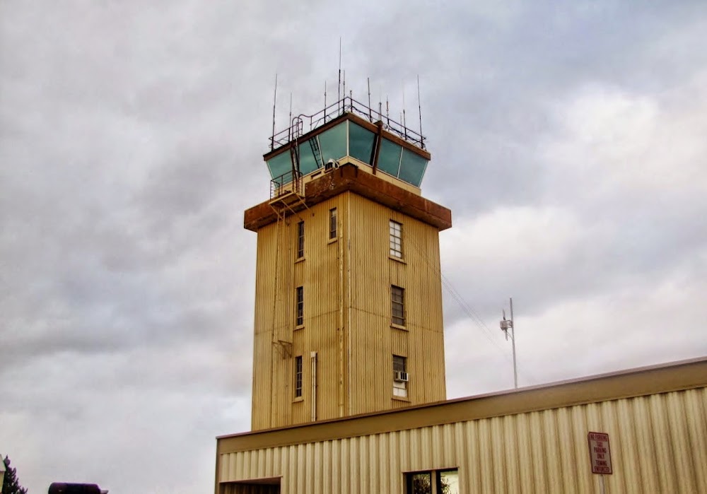
Attribution:
Heidi Sue Bloebaum
Attribution:
James Christie
Attribution:
Eric B.
No upcoming events. Is anything happening here soon?
Last updated: 2023-05-29 16:31:24 CDT
Airport Statistics
- Webcam links
- WiFi availability
- Crew car availability
Location:
San Angelo, TX
Elevation:
1,918ft
Sectional:
San Antonio
Activation date:
Sep 1943
Fuel:
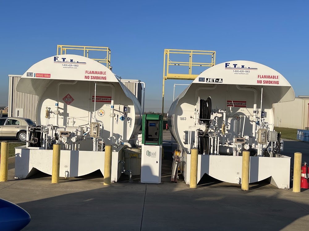
100LL, A
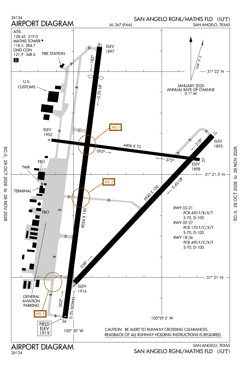
Runway 18/36:
8,054ft
Runway 03/21:
5,940ft
Runway 09/27:
4,406ft
Access: Open to the public
Similar Airports

Current Weather — VFR
-
Weather data is strictly informational and not for flight planning purposes.
-
METAR2026-10-30 08:51:00 CDT
Ceiling: 6,500ft Wind: 080° @ 7kt Temperature: 60°F Dewpoint: 59°F Weather: Light rain Visbility: 7SM Clouds: Few @ 900ft, Broken @ 6,500ft, Overcast @ 11,000ft Raw:METAR KSJT 301351Z 08007KT 7SM -RA FEW009 BKN065 OVC110 16/15 A3008 RMK AO2 RAB43 SLP174 P0000 T01610150 -
TAF2026-10-30 07:00:00 CDT – 2026-10-30 12:00:00 CDT
Ceiling: 1,500ft Wind: 090° @ 10kt Weather: Light rain, mist Visbility: 6SM Clouds: Scattered @ 800ft, Overcast @ 1,500ft Raw:TAF KSJT 301123Z 3012/3112 09010KT 6SM -RA BR SCT008 OVC015 FM301700 11011KT P6SM VCSH OVC008 FM310000 09010KT P6SM BKN008 FM310600 08010KT P6SM BKN003 -
TAF2026-10-30 12:00:00 CDT – 2026-10-30 19:00:00 CDT
Ceiling: 800ft Wind: 110° @ 11kt Weather: Showers in vicinity Visbility: 6SM Clouds: Overcast @ 800ft Raw:TAF KSJT 301123Z 3012/3112 09010KT 6SM -RA BR SCT008 OVC015 FM301700 11011KT P6SM VCSH OVC008 FM310000 09010KT P6SM BKN008 FM310600 08010KT P6SM BKN003 -
TAF2026-10-30 19:00:00 CDT – 2026-10-31 01:00:00 CDT
Ceiling: 800ft Wind: 090° @ 10kt Weather: N/A Visbility: 6SM Clouds: Broken @ 800ft Raw:TAF KSJT 301123Z 3012/3112 09010KT 6SM -RA BR SCT008 OVC015 FM301700 11011KT P6SM VCSH OVC008 FM310000 09010KT P6SM BKN008 FM310600 08010KT P6SM BKN003 -
TAF2026-10-31 01:00:00 CDT – 2026-10-31 07:00:00 CDT
Ceiling: 300ft Wind: 080° @ 10kt Weather: N/A Visbility: 6SM Clouds: Broken @ 300ft Raw:TAF KSJT 301123Z 3012/3112 09010KT 6SM -RA BR SCT008 OVC015 FM301700 11011KT P6SM VCSH OVC008 FM310000 09010KT P6SM BKN008 FM310600 08010KT P6SM BKN003
Click/tap to add an annotation marker to the map
No webcams added yet.
Remarks
- Ppr 12 hrs for unsked acr opns with over 30 psgr seats call amgr 325-659-6409.
- For cd if una to ctc on fss freq, ctc fort worth artcc at 817-858-7584.
- Dusk-dawn. when atct clsd mirl rwy 18/36 preset low intst. to incr intst & actvt malsr rwy 03; reil rwy 18; papi rwys 18 & 36; hirl rwy 03/21; mirl rwy 09/27 - ctaf.
- Fee for fuel aft hrs call 325-656-1836/1837.
- Apch ratio 50+:1 to dsplcd thr.
Comments