Pirep is a free, collaborative database of all public and private airports. All pilots are welcome to contribute their local knowledge to any airport, no registration required.


Private
Undocumented
Edit Tags
No upcoming events. Is anything happening here soon?
Airport Statistics
- Airport map annotations
- Transient parking location
- Crew car availability
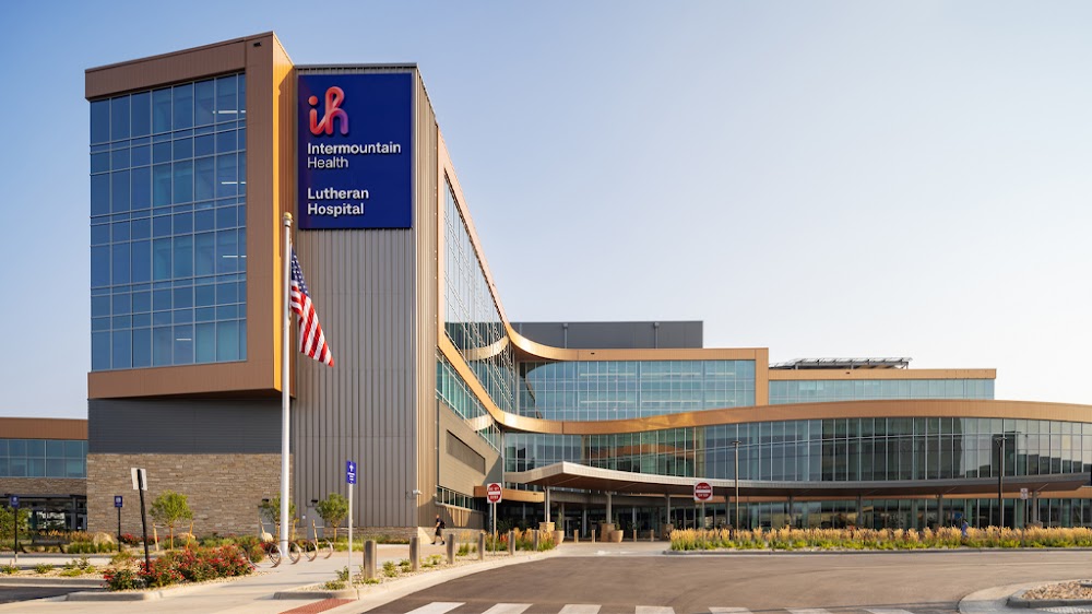
Location:
Wheat Ridge, CO
Elevation:
5,559ft
Sectional:
Denver
Activation date:
Nov 2022
Fuel:
None
Runway H1:
58ft
Access: Private to everyone
Is this airport privately owned but open to the public with or without restrictions? Or perhaps the owner is simply happy for pilots to stop by with prior permission?
Click/tap to add an annotation marker to the map
No webcams added yet.
Remarks
- Operations to be conducted in accordance with lap asn 2022-anm-3460-nra, 21 sep 2022.
- Pri ingress 262 degs; pri egress 185 degs. tlof dimensions 58 x 58. fato dimensions 97 x 97. safety area dimensions 16 x 16.
Comments