Pirep is a free, collaborative database of all public and private airports. All pilots are welcome to contribute their local knowledge to any airport, no registration required.


Public
Undocumented
METAR / TAF
Edit Tags
No upcoming events. Is anything happening here soon?
Airport Statistics
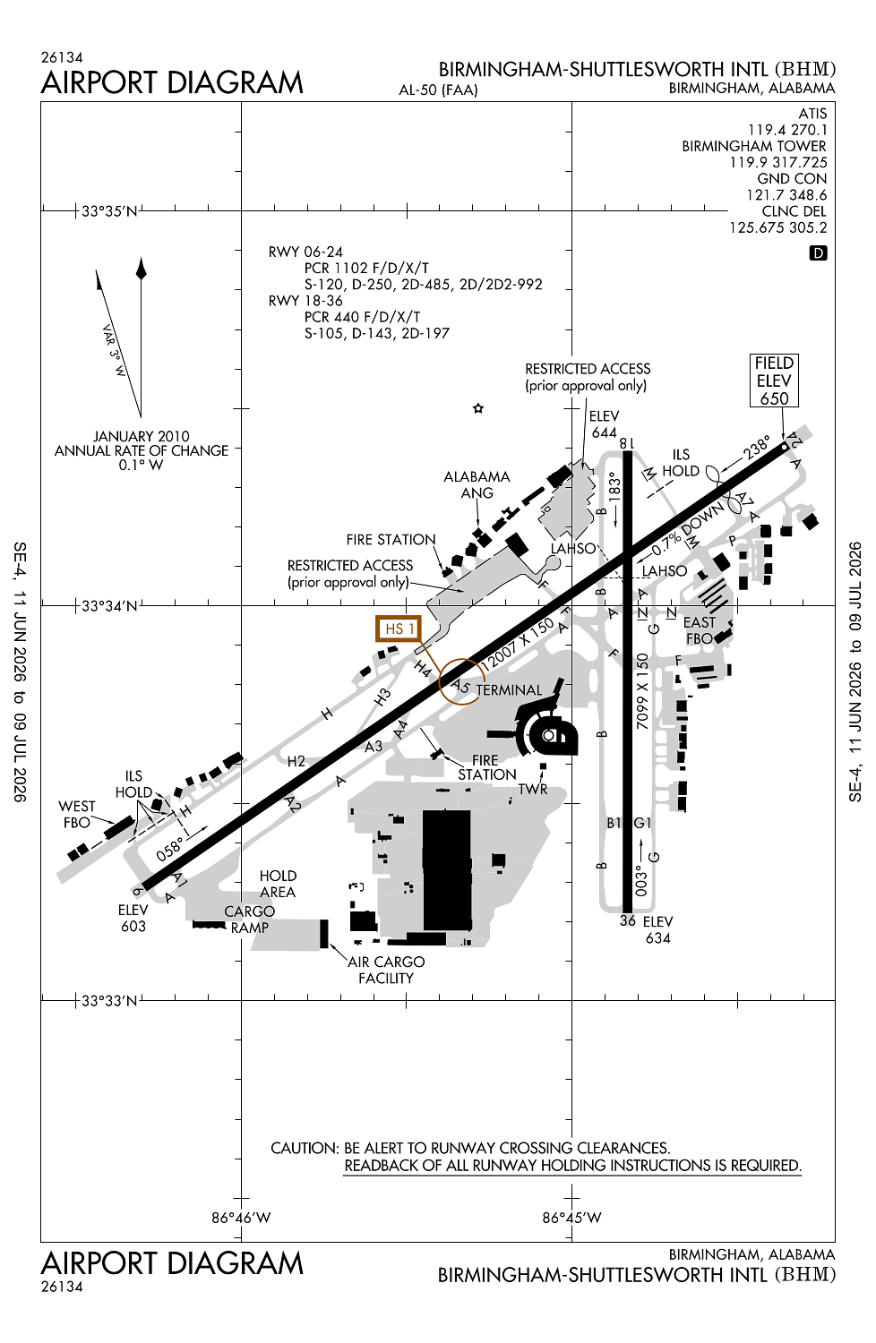
- Airport map annotations
- Transient parking location
- General description
Location:
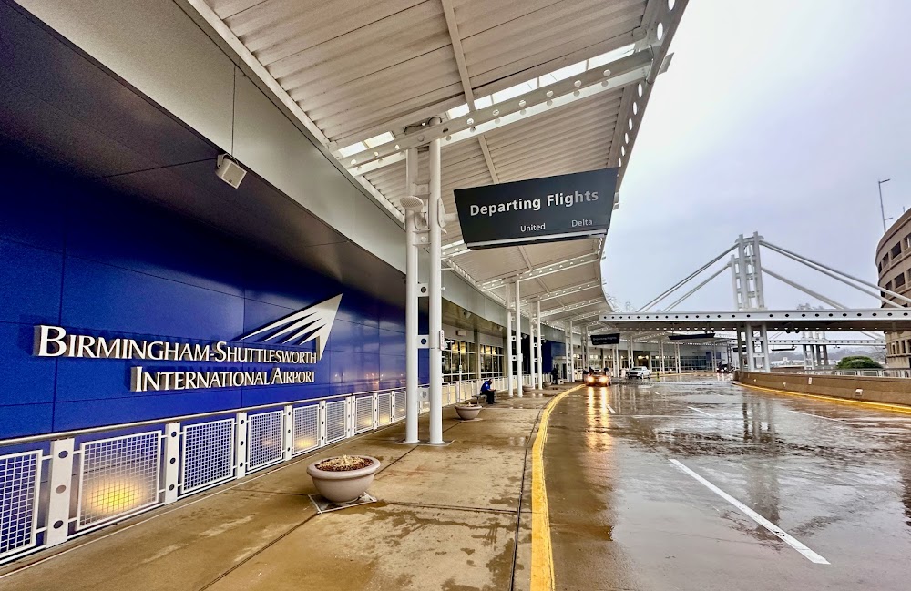
Birmingham, AL
Elevation:
650ft
Sectional:
Atlanta
Activation date:
Apr 1940
Fuel:
100LL, A (prices)
Runway 06/24:
12,007ft
Runway 18/36:
7,099ft
Access: Open to the public
Current Weather — VFR
-
Weather data is strictly informational and not for flight planning purposes.
-
METAR2026-07-21 04:53:00 CDT
Ceiling: Sky clear Wind: Calm Temperature: 75°F Dewpoint: 69°F Weather: N/A Visbility: 10SM Raw:METAR KBHM 210953Z 00000KT 10SM CLR 24/21 A2994 RMK AO2 SLP128 T02390206 -
TAF2026-07-21 01:00:00 CDT – 2026-07-21 10:00:00 CDT
Ceiling: Sky clear Wind: Variable Weather: N/A Visbility: 6SM Clouds: Few @ 11,000ft Raw:TAF KBHM 210520Z 2106/2206 VRB02KT P6SM FEW110 FM211500 12007KT P6SM SCT040 FM220000 15008KT P6SM SCT250 -
TAF2026-07-21 10:00:00 CDT – 2026-07-21 19:00:00 CDT
Ceiling: Sky clear Wind: 120° @ 7kt Weather: N/A Visbility: 6SM Clouds: Scattered @ 4,000ft Raw:TAF KBHM 210520Z 2106/2206 VRB02KT P6SM FEW110 FM211500 12007KT P6SM SCT040 FM220000 15008KT P6SM SCT250 -
TAF2026-07-21 19:00:00 CDT – 2026-07-22 01:00:00 CDT
Ceiling: Sky clear Wind: 150° @ 8kt Weather: N/A Visbility: 6SM Clouds: Scattered @ 25,000ft Raw:TAF KBHM 210520Z 2106/2206 VRB02KT P6SM FEW110 FM211500 12007KT P6SM SCT040 FM220000 15008KT P6SM SCT250
Click/tap to add an annotation marker to the map
No webcams added yet.
Remarks
- Twy g rstrd to acft 65000 lbs or less.
- Twy m n of rwy 6/24 rstrd to acft 75000 lbs or less.
- Twy n rstrd to acft 204000 lbs or less.
- Bird actv invof rwys.
- Twy f btn rwy 18/36 & twy g rstrd to acft 100000 lbs or less.
Comments