Pirep is a free, collaborative database of all public and private airports. All pilots are welcome to contribute their local knowledge to any airport, no registration required.
Sadly, this airport is reportedly closed based on it being removed from the FAA's database.
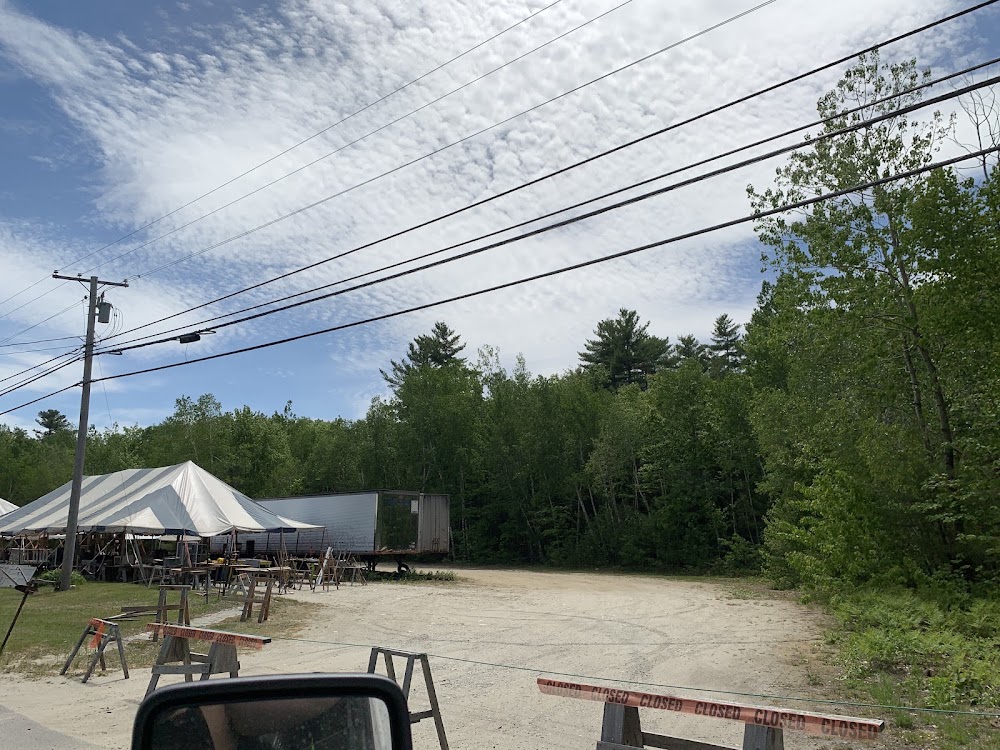
Attribution:
Bo McInnis
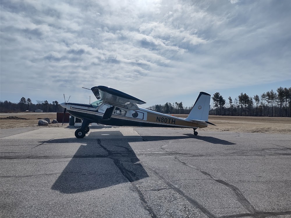
Attribution:
Exley Hackwell
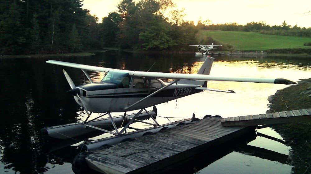
Attribution:
John Vedral
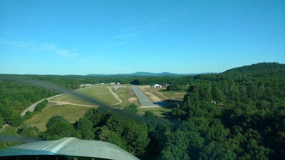
Attribution:
Ray Luhn
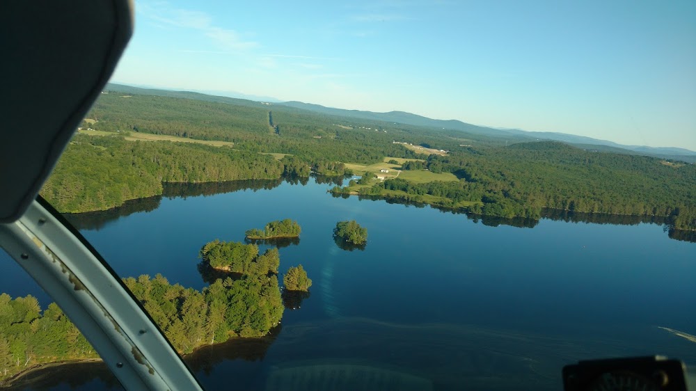
Attribution:
Ray Luhn
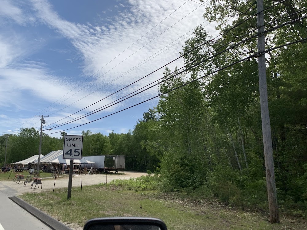
Attribution:
Bo McInnis
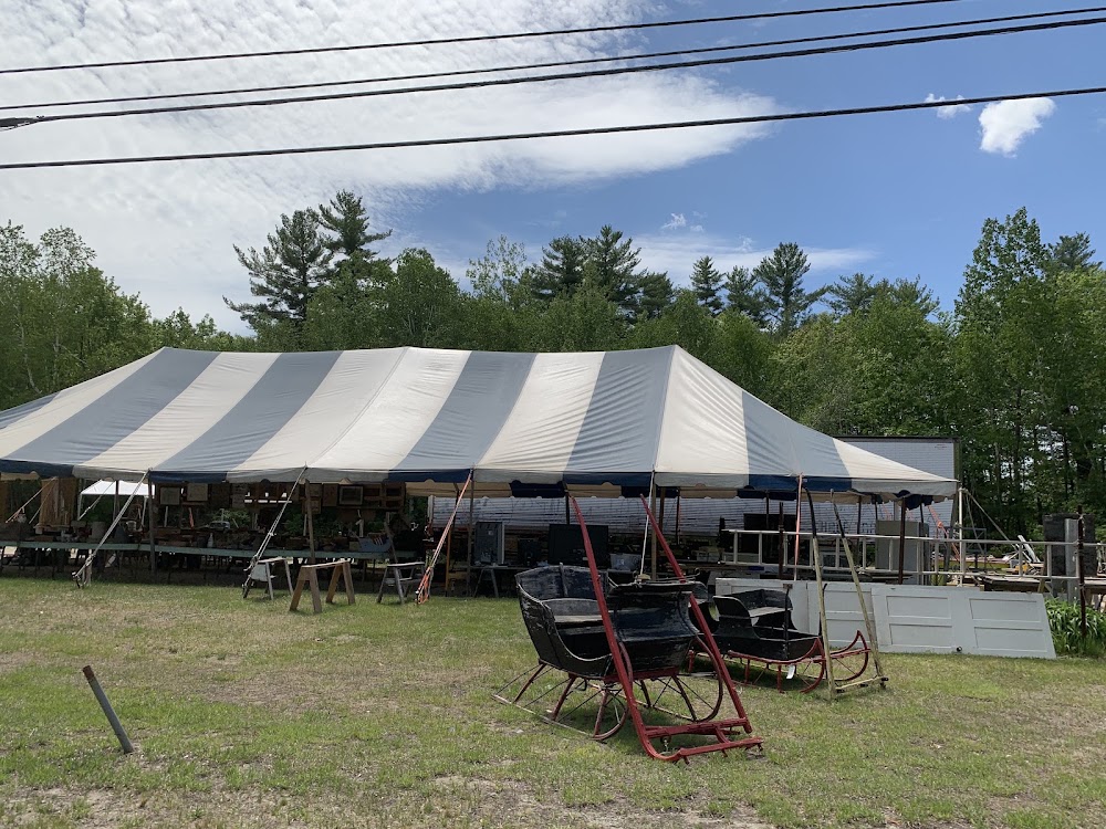
Attribution:
Bo McInnis
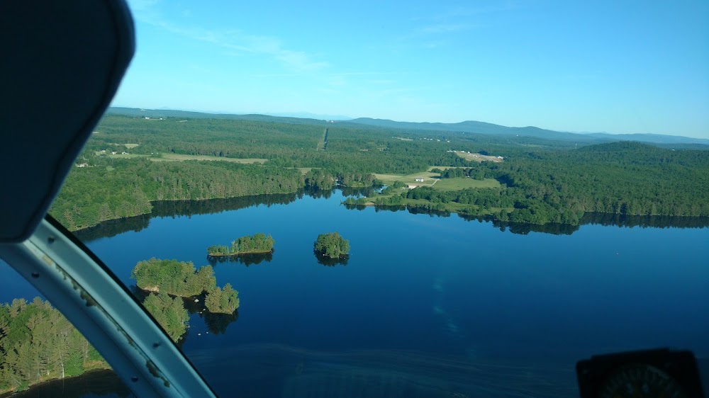
Attribution:
Ray Luhn
Public
Undocumented
Closed
Edit Tags
No upcoming events. Is anything happening here soon?
Airport Statistics
- Landing & tie-down fees
- Fuel pump location
- WiFi availability
Location:
Turner, ME
Elevation:
355ft
Sectional:
New York
Activation date:
Dec 1946
Closed date:
Sep 2024
Fuel:
MOGAS
Runway 04W/22W:
10,000ft
Runway 15W/33W:
5,000ft
Runway 11/29:
2,151ft
Runway 12/30:
2,104ft
Access: Open to the public
This airport is privately owned but open to the public.
Click/tap to add an annotation marker to the map
No webcams added yet.
Remarks
- This airport has been surveyed by the national geodetic survey.
- Existed prior to 1959. hel: filed for record purposes only.
- Turkey, geese & deer on & invof arpt.
- For cd ctc portland apch at 207-874-7320, when apch clsd ctc boston artcc at 603-879-6859.
- Clsd sun.
- +38 ft pwr ln 140-180 ft fm thr marked with balls acrs apch.
- Nrs & cntrln non-std len & wid.
- +20 ft pole 145 ft fm end of rwy, 30 ft r of cntrln; +25 ft bldg 145 ft fm end of rwy, 90 ft r of cntrln.
Comments