Pirep is a free, collaborative database of all public and private airports. All pilots are welcome to contribute their local knowledge to any airport, no registration required.
Public
Undocumented
METAR / TAF
Edit Tags
No upcoming events. Is anything happening here soon?
Airport Statistics
- Crew car availability
- Webcam links
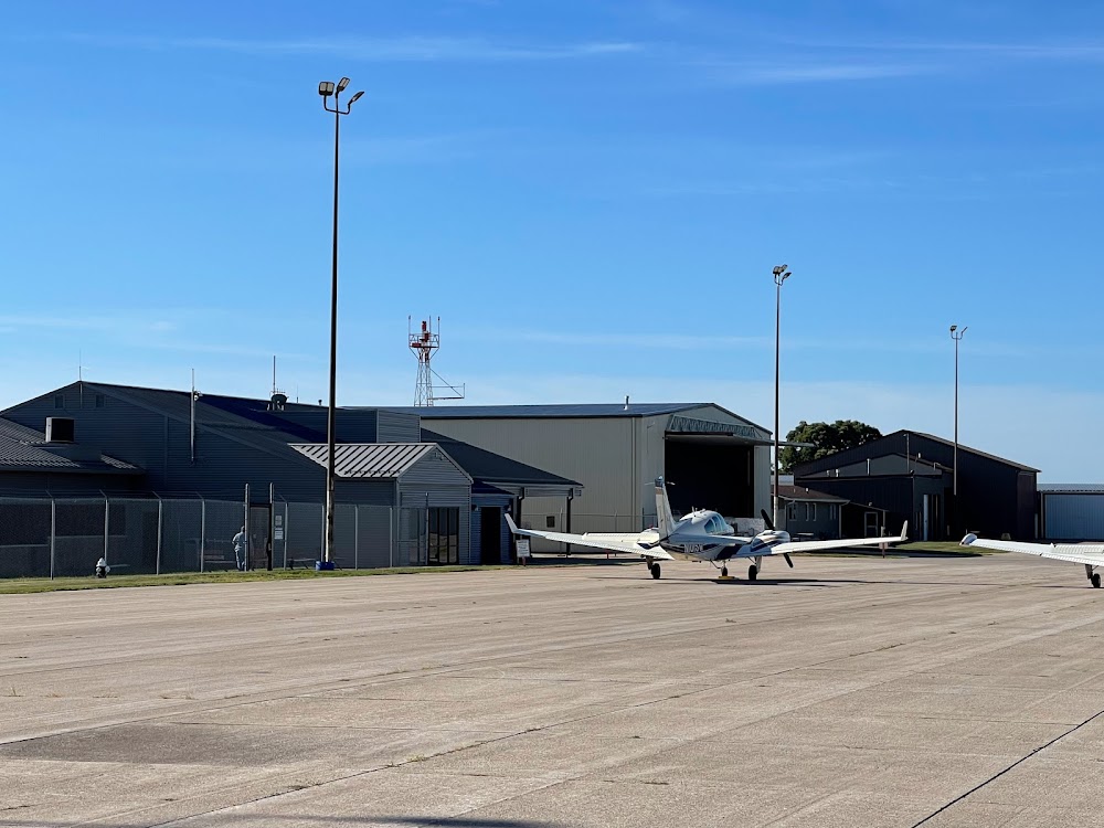
- Airport photos
Location:
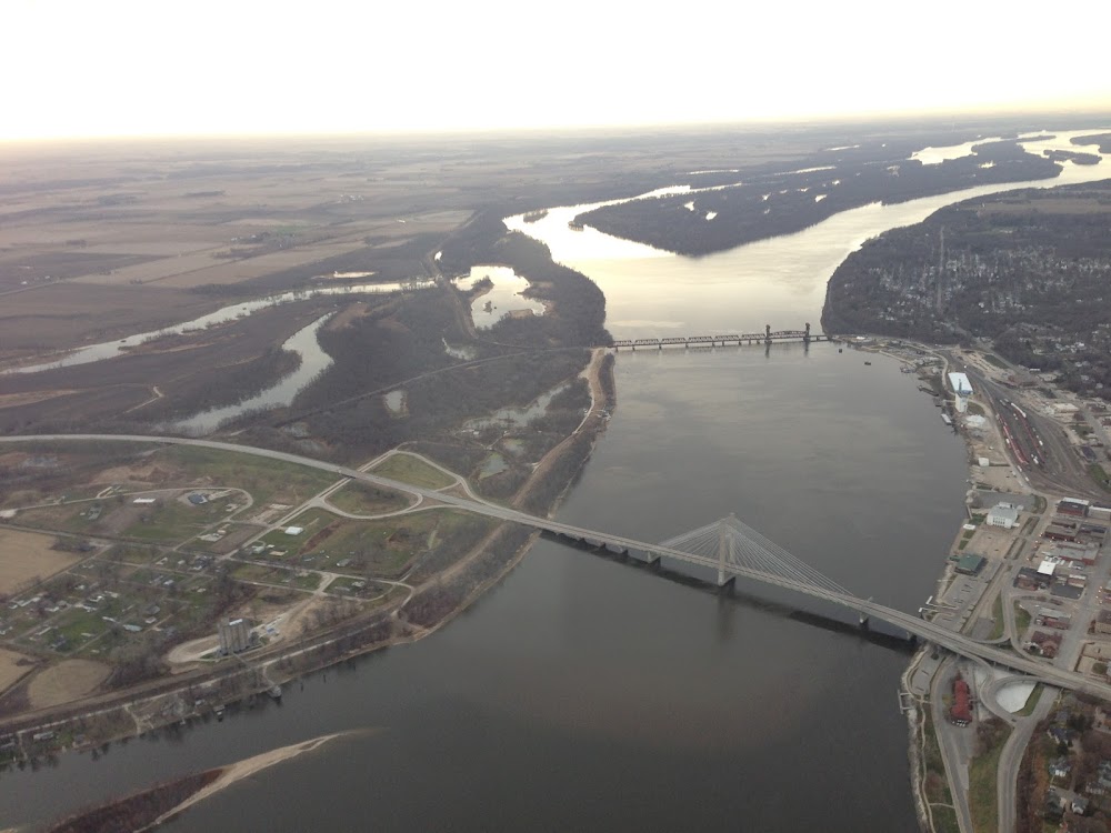
Burlington, IA
Elevation:
698ft
Sectional:
Chicago
Activation date:
Apr 1940
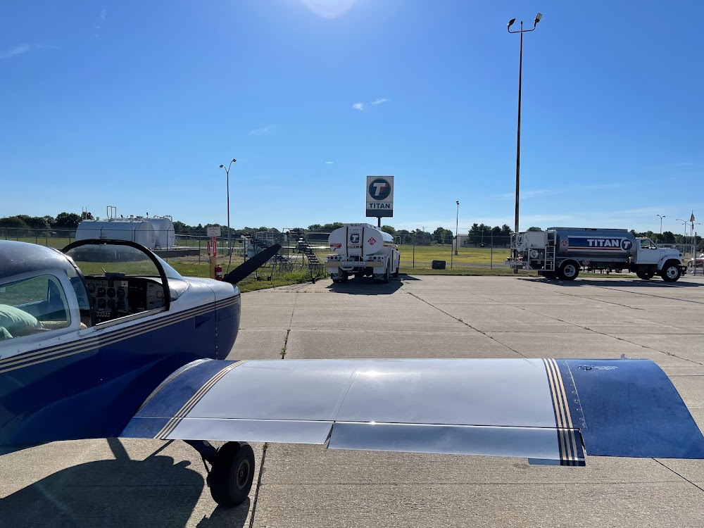
Fuel:
100LL, A (prices)
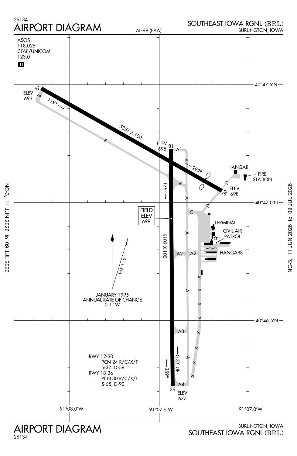
Runway 18/36:
6,102ft
Runway 12/30:
5,351ft
Access: Open to the public
Current Weather — VFR
-
Weather data is strictly informational and not for flight planning purposes.
-
METAR2026-07-21 09:53:00 CDT
Ceiling: Sky clear Wind: 330° @ 12kt, gusts 20kt Temperature: 78°F Dewpoint: 69°F Weather: N/A Visbility: 10SM Raw:METAR KBRL 211453Z AUTO 33012G20KT 10SM CLR 26/21 A2982 RMK AO2 SLP093 T02610206 53010 -
TAF2026-07-21 07:00:00 CDT – 2026-07-21 10:00:00 CDT
Ceiling: 25,000ft Wind: 310° @ 10kt Weather: N/A Visbility: 6SM Clouds: Scattered @ 3,500ft, Broken @ 25,000ft Raw:TAF KBRL 211120Z 2112/2212 31010KT P6SM SCT035 BKN250 FM211500 31013G22KT P6SM SCT050 FM220000 33008KT P6SM FEW250 -
TAF2026-07-21 10:00:00 CDT – 2026-07-21 19:00:00 CDT
Ceiling: Sky clear Wind: 310° @ 13kt, gusts 22kt Weather: N/A Visbility: 6SM Clouds: Scattered @ 5,000ft Raw:TAF KBRL 211120Z 2112/2212 31010KT P6SM SCT035 BKN250 FM211500 31013G22KT P6SM SCT050 FM220000 33008KT P6SM FEW250 -
TAF2026-07-21 19:00:00 CDT – 2026-07-22 07:00:00 CDT
Ceiling: Sky clear Wind: 330° @ 8kt Weather: N/A Visbility: 6SM Clouds: Few @ 25,000ft Raw:TAF KBRL 211120Z 2112/2212 31010KT P6SM SCT035 BKN250 FM211500 31013G22KT P6SM SCT050 FM220000 33008KT P6SM FEW250
Click/tap to add an annotation marker to the map
No webcams added yet.
Remarks
- Line of sight na btn rwy 12 & 36.
- Ry 36 is calm wind ry.
- Self svc fuel avbl n end of apron.
- Sfc cond unmnt 1900-0600.
- Cold temperature airport. altitude correction required at or below -28c.
Comments