Pirep is a free, collaborative database of all public and private airports. All pilots are welcome to contribute their local knowledge to any airport, no registration required.


No upcoming events. Is anything happening here soon?
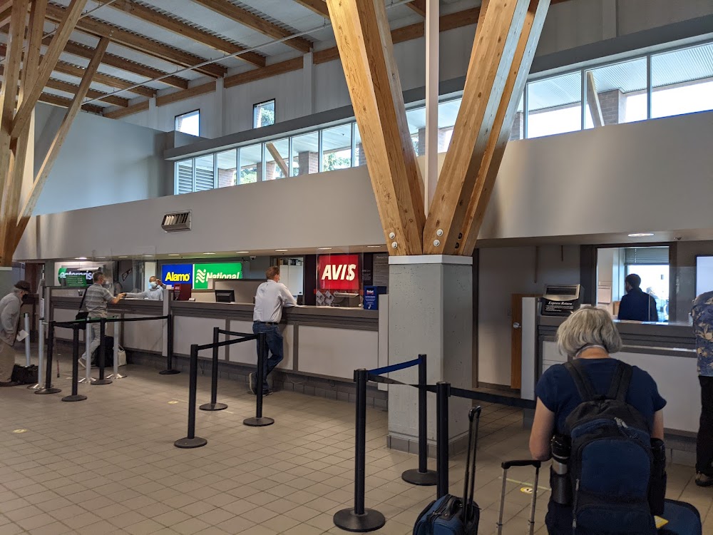
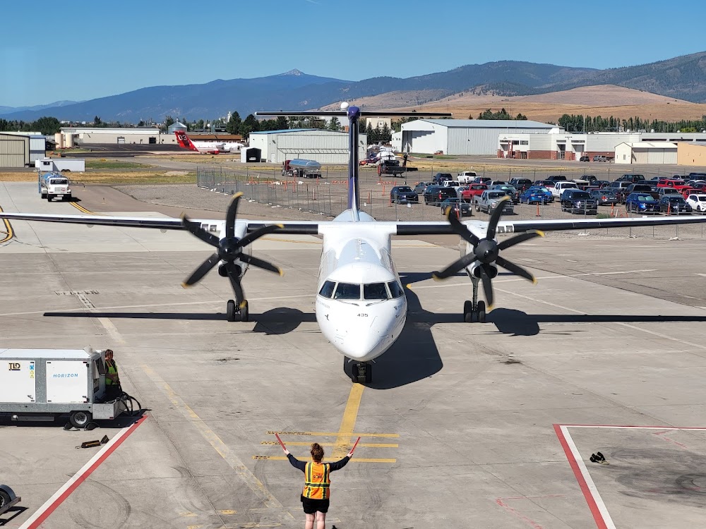
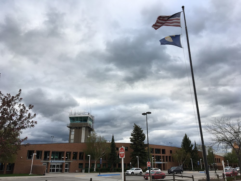
Airport Statistics
- Transient parking location
- Airport map annotations
- General description
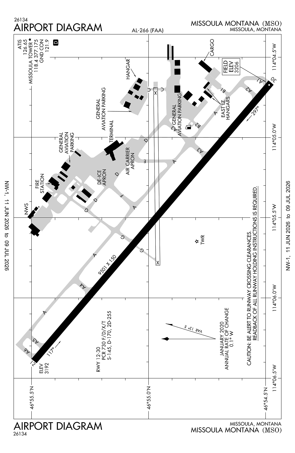
Location:
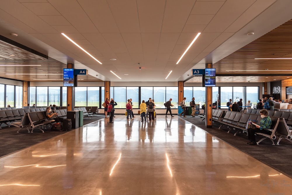
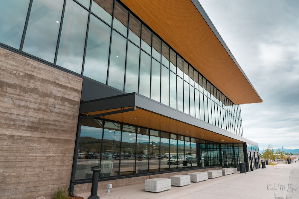
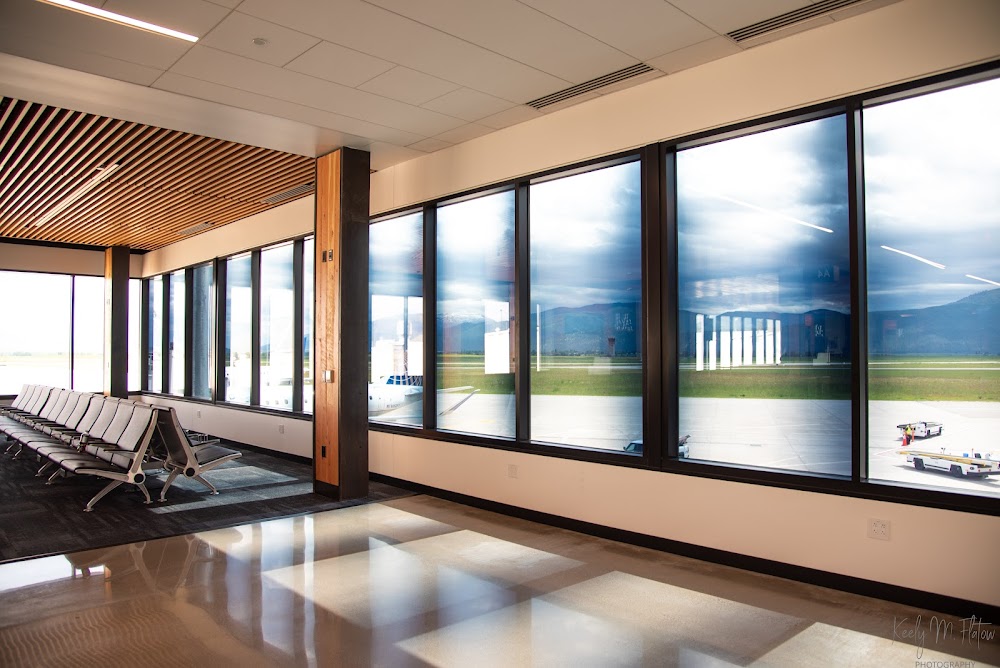
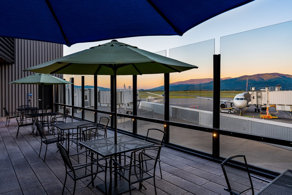
Missoula, MT
Elevation:
3,205ft
Sectional:
Great Falls
Activation date:
Jul 1941
Fuel:
100LL, A1+ (prices)
Runway 12/30:
9,501ft
Runway 08/26:
4,612ft
Access: Open to the public
Similar Airports
Current Weather — VFR
-
Weather data is strictly informational and not for flight planning purposes.
-
METAR2026-07-19 11:01:00 MDT
Ceiling: Sky clear Wind: Calm Temperature: 73°F Dewpoint: 44°F Weather: Smoke Visbility: 7SM Raw:SPECI KMSO 191701Z 00000KT 7SM FU CLR 23/07 A3007 RMK AO2 T02330067 $ -
TAF2026-07-19 12:00:00 MDT – 2026-07-19 17:00:00 MDT
Ceiling: Sky clear Wind: 290° @ 6kt Weather: N/A Visbility: 6SM Clouds: @ ft Raw:TAF KMSO 191723Z 1918/2018 29006KT P6SM SKC FM192300 30012G20KT P6SM SKC FM200100 33003KT P6SM SKC -
TAF2026-07-19 17:00:00 MDT – 2026-07-19 19:00:00 MDT
Ceiling: Sky clear Wind: 300° @ 12kt, gusts 20kt Weather: N/A Visbility: 6SM Clouds: @ ft Raw:TAF KMSO 191723Z 1918/2018 29006KT P6SM SKC FM192300 30012G20KT P6SM SKC FM200100 33003KT P6SM SKC -
TAF2026-07-19 19:00:00 MDT – 2026-07-20 12:00:00 MDT
Ceiling: Sky clear Wind: 330° @ 3kt Weather: N/A Visbility: 6SM Clouds: @ ft Raw:TAF KMSO 191723Z 1918/2018 29006KT P6SM SKC FM192300 30012G20KT P6SM SKC FM200100 33003KT P6SM SKC
Click/tap to add an annotation marker to the map
Remarks
- Contact arpt manager to request approval prior to ultralight opns.
- Twy g btn rwy 08 end to rwy 12/30 rstrd to acft under 12500 lbs.
- Ldg fee for all coml acft and all acft over 9,000 lbs.
- Migratory & small bird actvty on & invof arpt year round.
- Hang glider ops, paraglider act 5.5 nm east of aer rwy 30.
Comments