Pirep is a free, collaborative database of all public and private airports. All pilots are welcome to contribute their local knowledge to any airport, no registration required.

Public
Undocumented
METAR / TAF
Edit Tags
No upcoming events. Is anything happening here soon?
Airport Statistics
- Transient parking location
- Crew car availability
- Local flying clubs
Location:
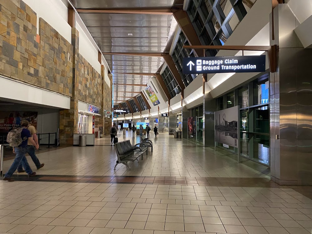
Oklahoma City, OK
Elevation:
1,295ft
Sectional:
Dallas Ft Worth
Activation date:
Dec 1938
Fuel:
100LL, A (prices)
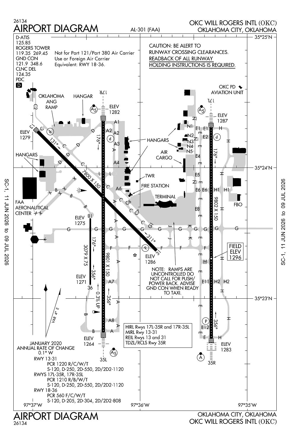
Runway 17L/35R:
9,802ft
Runway 17R/35L:
9,801ft
Runway 13/31:
7,800ft
Runway 18/36:
3,079ft
Access: Open to the public
Current Weather — VFR
-
Weather data is strictly informational and not for flight planning purposes.
-
METAR2026-07-14 06:52:00 CDT
Ceiling: Sky clear Wind: Calm Temperature: 73°F Dewpoint: 71°F Weather: N/A Visbility: 10SM Raw:METAR KOKC 141152Z 00000KT 10SM CLR 23/22 A3011 RMK AO2 SLP181 T02280217 10250 20217 58005 -
TAF2026-07-14 07:00:00 CDT – 2026-07-15 07:00:00 CDT
Ceiling: Sky clear Wind: 100° @ 8kt Weather: N/A Visbility: 6SM Clouds: Few @ 25,000ft Raw:TAF KOKC 141124Z 1412/1512 10008KT P6SM FEW250
Click/tap to add an annotation marker to the map
No webcams added yet.
Remarks
- Existed prior to 1959.
- Ry 18/36 used as twy when not used as ry.
- Rstd: faa aeronautical center ramp phone 405-954-9783 and email mxc@faa.gov.
- Ry 18/36 600 ft west of ry 17r/35l on existing twy.
- Twy g west of rwy 17r/35l, twy a2 east of twy a, twy d southwest of rwy 13/31, twys: a1, b, and c2 not avbl for part 121/part 380 ops with sked pax carrying ops more than 9 pax seats and non-sked pax carrying ops more than 30 pax seats.
Comments