Pirep is a free, collaborative database of all public and private airports. All pilots are welcome to contribute their local knowledge to any airport, no registration required.


Undocumented
METAR / TAF
Edit Tags
No upcoming events. Is anything happening here soon?
Airport Statistics
- Crew car availability
- WiFi availability
- Tags
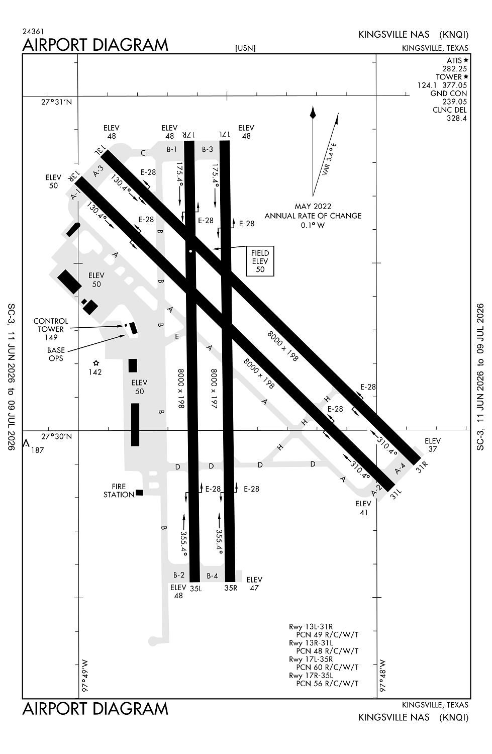
Location:
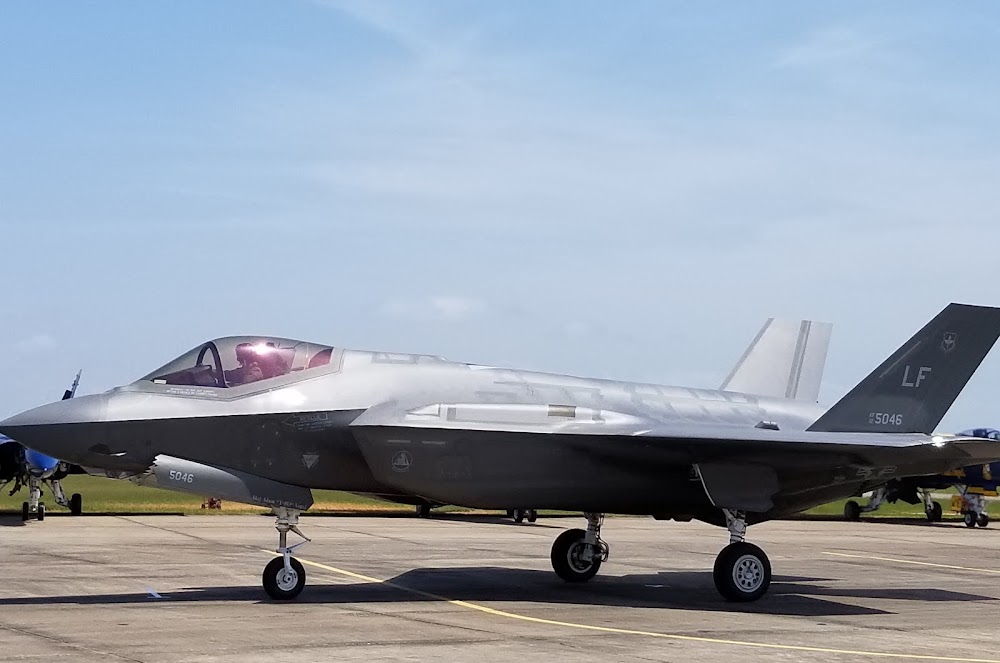
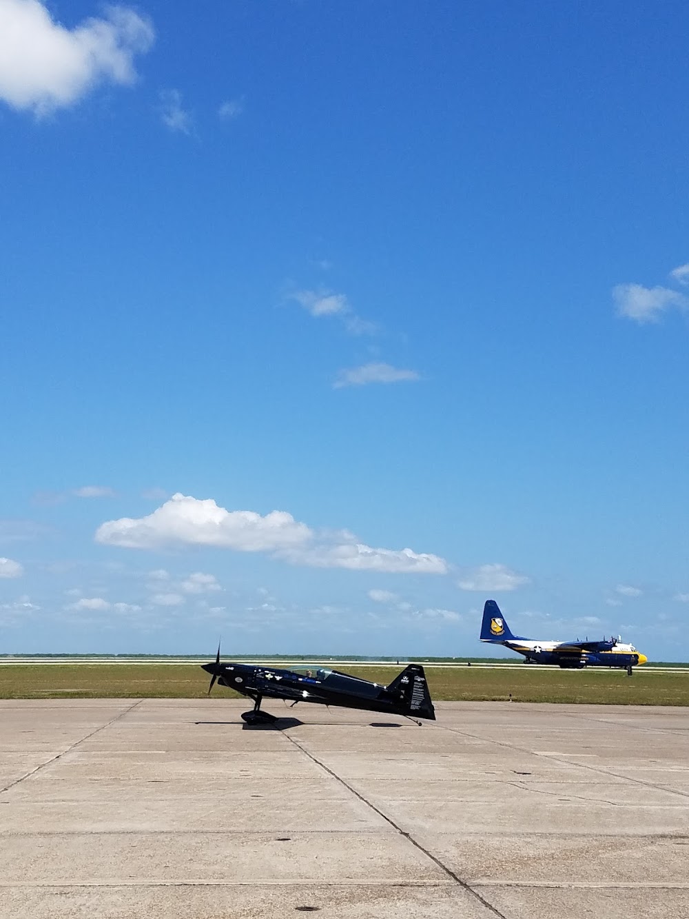
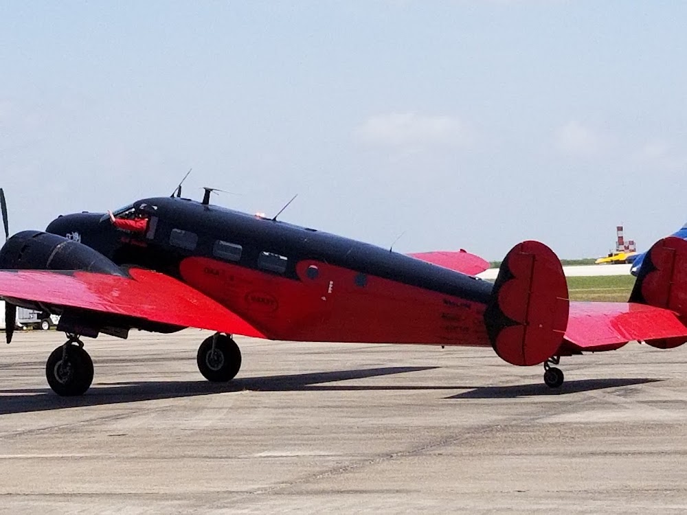
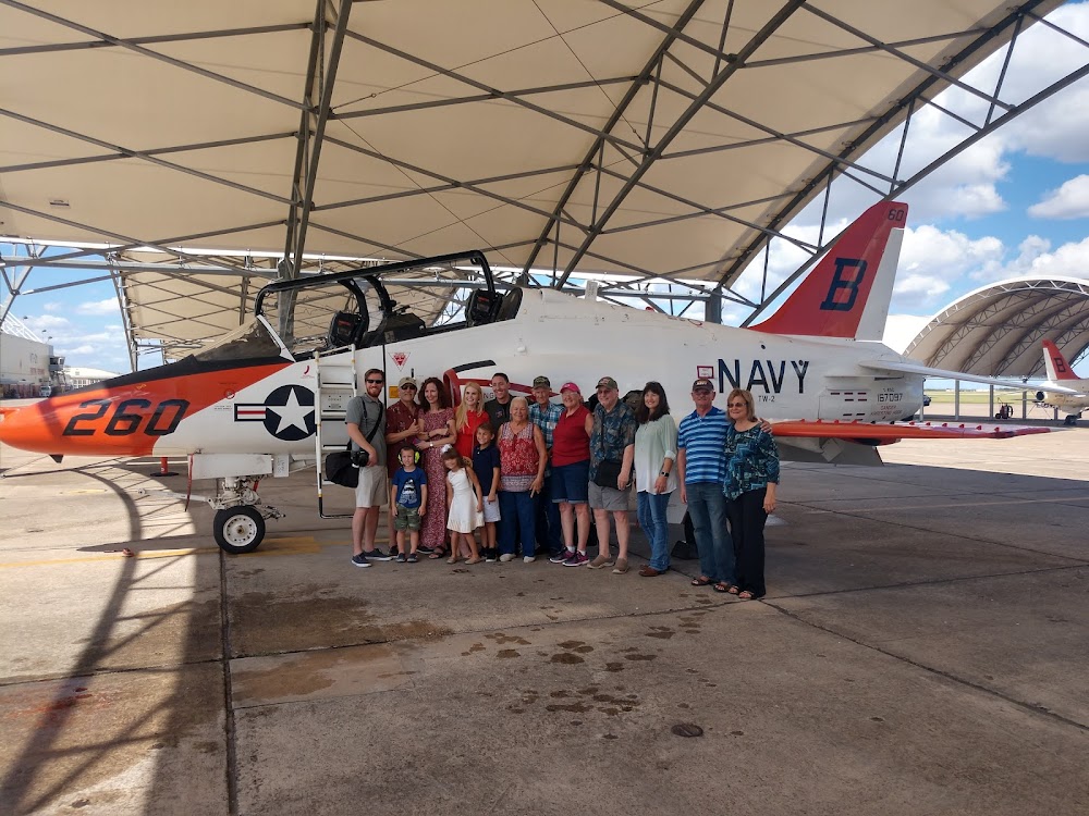
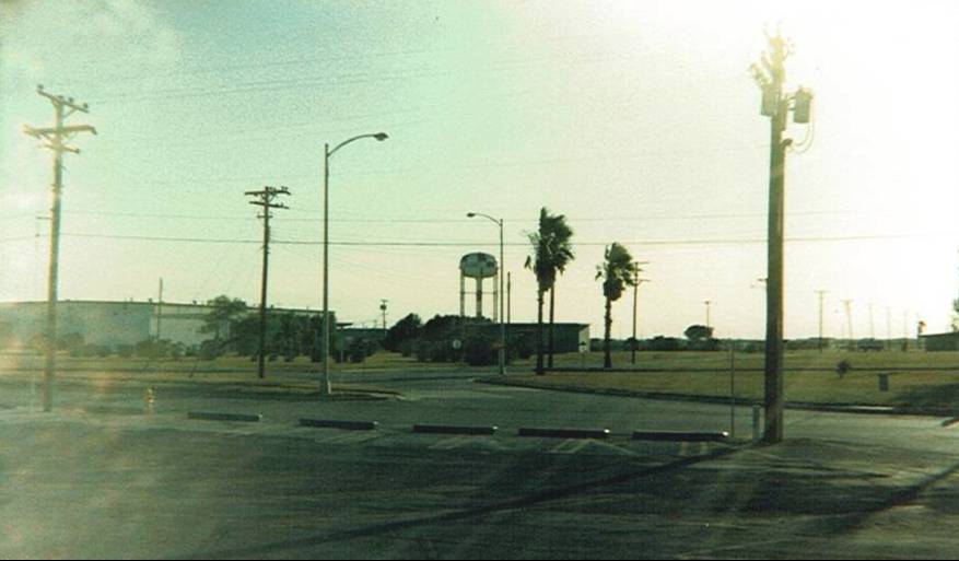
Kingsville, TX
Elevation:
49ft
Sectional:
Brownsville
Activation date:
Jul 1943
Fuel:
None
Runway 13L/31R:
8,000ft
Runway 13R/31L:
8,000ft
Runway 17R/35L:
8,000ft
Runway 17L/35R:
8,000ft
Access: Private to everyone
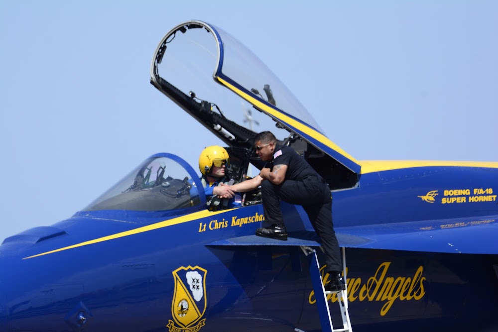
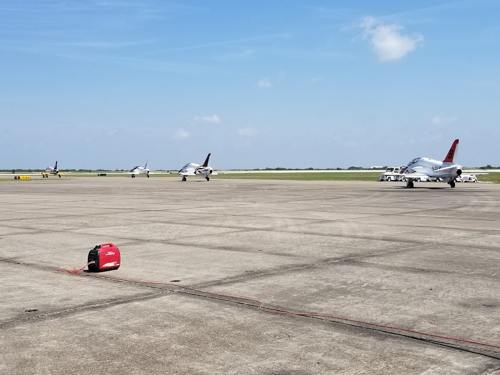
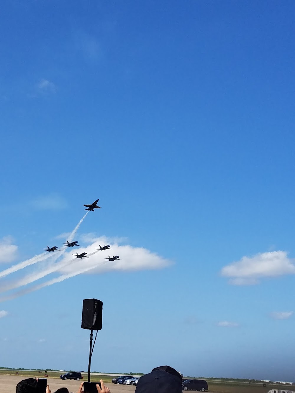
This is a military facility.
Current Weather — MVFR
-
Weather data is strictly informational and not for flight planning purposes.
-
METAR2026-07-21 06:18:00 CDT
Ceiling: 1,200ft Wind: 100° @ 4kt Temperature: 73°F Dewpoint: 73°F Weather: N/A Visbility: 7SM Clouds: Broken @ 1,200ft Raw:SPECI KNQI 211118Z AUTO 10004KT 7SM BKN012 23/23 A2990 RMK AO2 T02280228 TSNO $ -
TAF2026-07-21 02:00:00 CDT – 2026-07-21 09:00:00 CDT
Ceiling: 25,000ft Wind: 160° @ 7kt Weather: N/A Visbility: 6SM Clouds: Broken @ 25,000ft Raw:TAF KNQI 2107/2207 16007KT 9999 BKN250 QNH2986INS TEMPO 2109/2114 6000 BR SCT015 BKN250 FM211400 18009KT 9999 FEW030 SCT200 BKN250 QNH2989INS BECMG 2119/2121 13012G20KT 9999 FEW050 FEW200 BKN250 QNH2980INS FM220100 15009KT 9999 SCT180 BKN250 QNH2983INS AUTOMATED SENSOR METWATCH 2107 TIL 2112 TX39/2121Z TN24/2112Z FN00319 -
TAF2026-07-21 04:00:00 CDT – 2026-07-21 09:00:00 CDT
Ceiling: 25,000ft Wind: 000° @ kt Weather: Mist Visbility: 3SM Clouds: Scattered @ 1,500ft, Broken @ 25,000ft Raw:TAF KNQI 2107/2207 16007KT 9999 BKN250 QNH2986INS TEMPO 2109/2114 6000 BR SCT015 BKN250 FM211400 18009KT 9999 FEW030 SCT200 BKN250 QNH2989INS BECMG 2119/2121 13012G20KT 9999 FEW050 FEW200 BKN250 QNH2980INS FM220100 15009KT 9999 SCT180 BKN250 QNH2983INS AUTOMATED SENSOR METWATCH 2107 TIL 2112 TX39/2121Z TN24/2112Z FN00319 -
TAF2026-07-21 09:00:00 CDT – 2026-07-21 14:00:00 CDT
Ceiling: 25,000ft Wind: 180° @ 9kt Weather: N/A Visbility: 6SM Clouds: Few @ 3,000ft, Scattered @ 20,000ft, Broken @ 25,000ft Raw:TAF KNQI 2107/2207 16007KT 9999 BKN250 QNH2986INS TEMPO 2109/2114 6000 BR SCT015 BKN250 FM211400 18009KT 9999 FEW030 SCT200 BKN250 QNH2989INS BECMG 2119/2121 13012G20KT 9999 FEW050 FEW200 BKN250 QNH2980INS FM220100 15009KT 9999 SCT180 BKN250 QNH2983INS AUTOMATED SENSOR METWATCH 2107 TIL 2112 TX39/2121Z TN24/2112Z FN00319 -
TAF2026-07-21 14:00:00 CDT – 2026-07-21 20:00:00 CDT
Ceiling: 25,000ft Wind: 130° @ 12kt, gusts 20kt Weather: N/A Visbility: 6SM Clouds: Few @ 5,000ft, Few @ 20,000ft, Broken @ 25,000ft Raw:TAF KNQI 2107/2207 16007KT 9999 BKN250 QNH2986INS TEMPO 2109/2114 6000 BR SCT015 BKN250 FM211400 18009KT 9999 FEW030 SCT200 BKN250 QNH2989INS BECMG 2119/2121 13012G20KT 9999 FEW050 FEW200 BKN250 QNH2980INS FM220100 15009KT 9999 SCT180 BKN250 QNH2983INS AUTOMATED SENSOR METWATCH 2107 TIL 2112 TX39/2121Z TN24/2112Z FN00319 -
TAF2026-07-21 20:00:00 CDT – 2026-07-22 02:00:00 CDT
Ceiling: 25,000ft Wind: 150° @ 9kt Weather: N/A Visbility: 6SM Clouds: Scattered @ 18,000ft, Broken @ 25,000ft Raw:TAF KNQI 2107/2207 16007KT 9999 BKN250 QNH2986INS TEMPO 2109/2114 6000 BR SCT015 BKN250 FM211400 18009KT 9999 FEW030 SCT200 BKN250 QNH2989INS BECMG 2119/2121 13012G20KT 9999 FEW050 FEW200 BKN250 QNH2980INS FM220100 15009KT 9999 SCT180 BKN250 QNH2983INS AUTOMATED SENSOR METWATCH 2107 TIL 2112 TX39/2121Z TN24/2112Z FN00319
Click/tap to add an annotation marker to the map
No webcams added yet.
Remarks
- Caution: hvy jet inst trng dur fld opr hr.
- Caution: avoid ovft of chemical plant 5 nm n.
- Cat c afld.
- Tfc pat: arr tsnt acft exp enr descent.
- Tfc pat: use ldg/taxi lgt for final portion of inst apch durg vfr.
Comments