Pirep is a free, collaborative database of all public and private airports. All pilots are welcome to contribute their local knowledge to any airport, no registration required.

Public
Undocumented
METAR / TAF
Edit Tags
No upcoming events. Is anything happening here soon?
Airport Statistics
- Fuel pump location
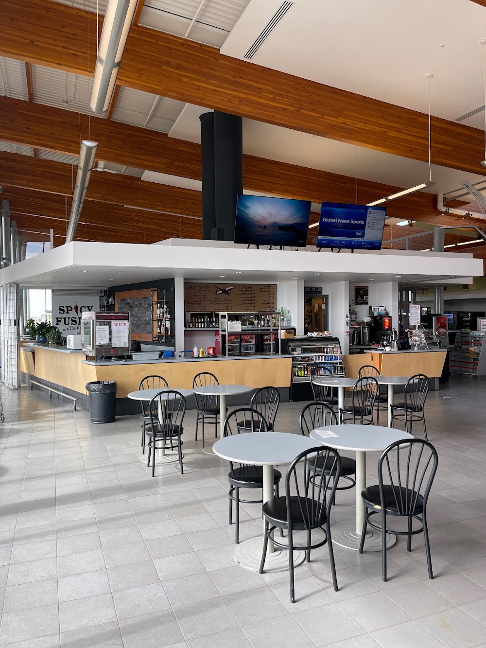
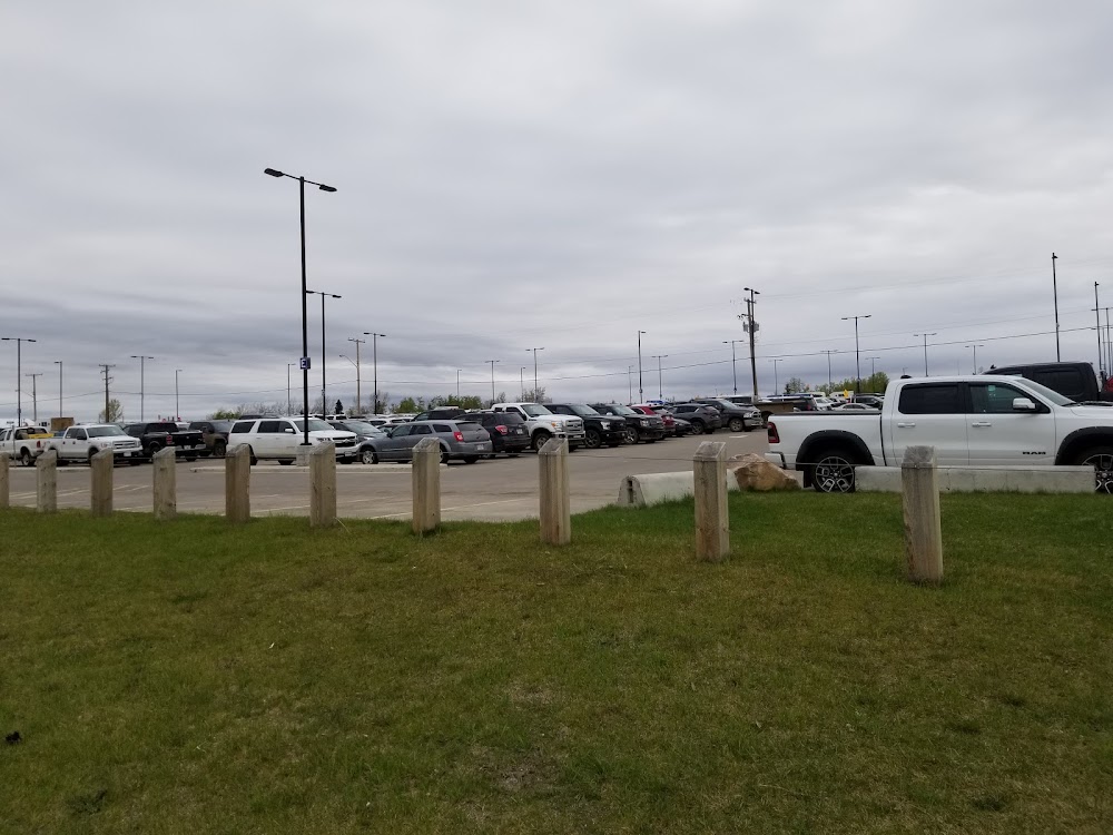
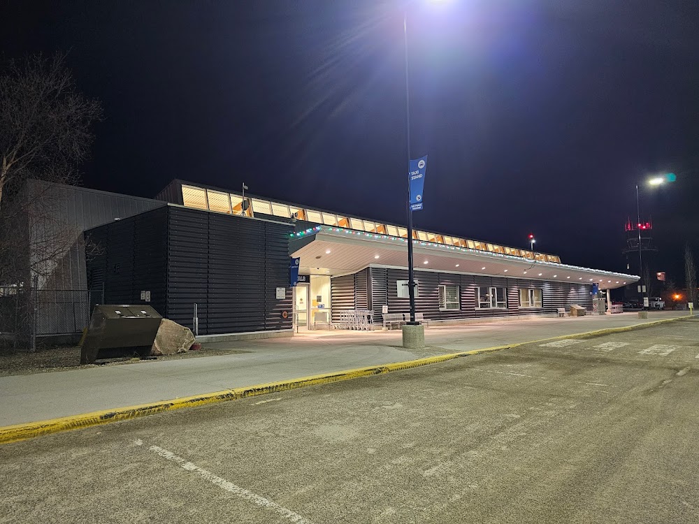
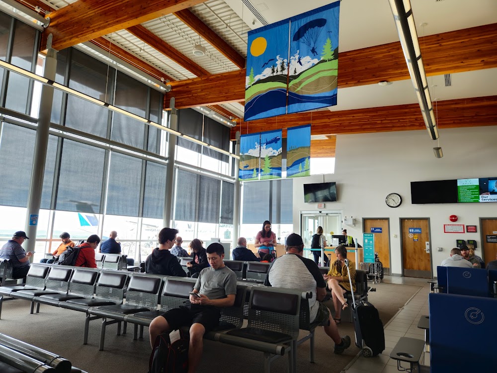
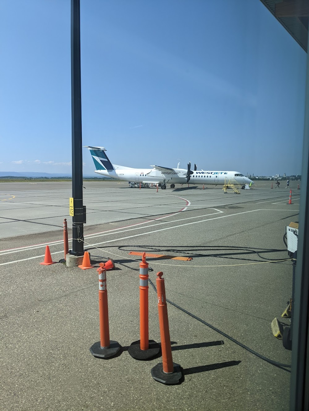
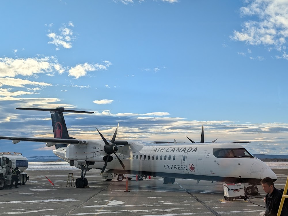
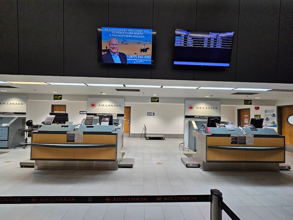
- Airport photos
- WiFi availability
Location:
Fort Saint John, British Columbia
Elevation:
2,280ft
Runway 12/30:
6,909ft
Runway 11/29:
6,900ft
Runway 02/20:
6,700ft
Runway 03/21:
6,698ft
Warning: This airport was imported from a non-authoritative source. Its public/private status may not be accurate.
Access: Open to the public
Current Weather — IFR
-
Weather data is strictly informational and not for flight planning purposes.
-
METAR2026-07-21 07:00:00 MST
Ceiling: 2,100ft Wind: 110° @ 4kt Temperature: 55°F Dewpoint: 53°F Weather: Smoke Visbility: 1SM Clouds: Obscured @ 2,100ft Raw:METAR CYXJ 211400Z 11004KT 1SM R30/P6000FT/U FU VV021 13/12 A3014 RMK FU8 SLP216 -
TAF2026-07-21 06:00:00 MST – 2026-07-21 09:00:00 MST
Ceiling: Sky clear Wind: 140° @ 5kt Weather: Smoke Visbility: 1SM Clouds: Few @ 3,000ft Raw:TAF CYXJ 211240Z 2113/2201 14005KT 1SM FU FEW030 TEMPO 2113/2116 3SM FU FM211600 17006KT 6SM FU FEW060 TEMPO 2116/2201 3SM FU RMK NXT FCST BY 211900Z -
TAF2026-07-21 06:00:00 MST – 2026-07-21 09:00:00 MST
Ceiling: Sky clear Wind: 000° @ kt Weather: Smoke Visbility: 3SM Raw:TAF CYXJ 211240Z 2113/2201 14005KT 1SM FU FEW030 TEMPO 2113/2116 3SM FU FM211600 17006KT 6SM FU FEW060 TEMPO 2116/2201 3SM FU RMK NXT FCST BY 211900Z -
TAF2026-07-21 09:00:00 MST – 2026-07-21 18:00:00 MST
Ceiling: Sky clear Wind: 170° @ 6kt Weather: Smoke Visbility: 6SM Clouds: Few @ 6,000ft Raw:TAF CYXJ 211240Z 2113/2201 14005KT 1SM FU FEW030 TEMPO 2113/2116 3SM FU FM211600 17006KT 6SM FU FEW060 TEMPO 2116/2201 3SM FU RMK NXT FCST BY 211900Z -
TAF2026-07-21 09:00:00 MST – 2026-07-21 18:00:00 MST
Ceiling: Sky clear Wind: 000° @ kt Weather: Smoke Visbility: 3SM Raw:TAF CYXJ 211240Z 2113/2201 14005KT 1SM FU FEW030 TEMPO 2113/2116 3SM FU FM211600 17006KT 6SM FU FEW060 TEMPO 2116/2201 3SM FU RMK NXT FCST BY 211900Z
Click/tap to add an annotation marker to the map
No webcams added yet.
Comments