Pirep is a free, collaborative database of all public and private airports. All pilots are welcome to contribute their local knowledge to any airport, no registration required.

No upcoming events. Is anything happening here soon?
Last updated: 2023-06-17 16:00:15 MDT
Airport Statistics
- Local flying clubs
- Transient parking location
- Webcam links
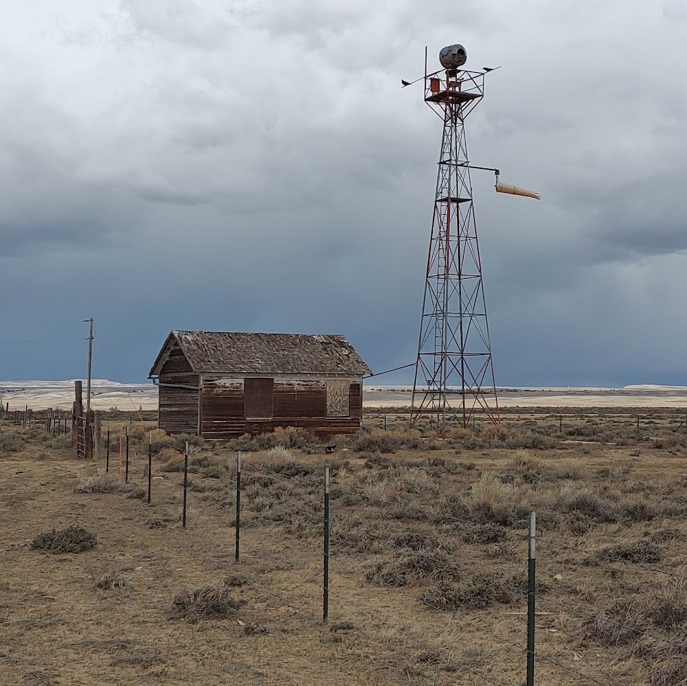
Location:
Medicine Bow, WY
Elevation:
6,658ft
Sectional:
Cheyenne
Activation date:
Jul 1941
Fuel:
None
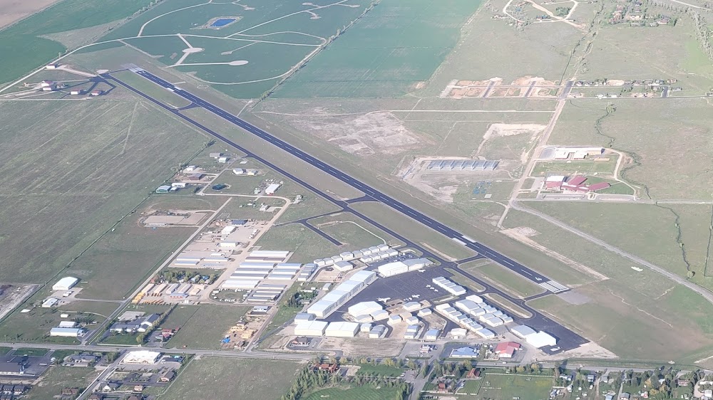
Runway 10/28:
3,170ft
Runway 06/24:
2,680ft
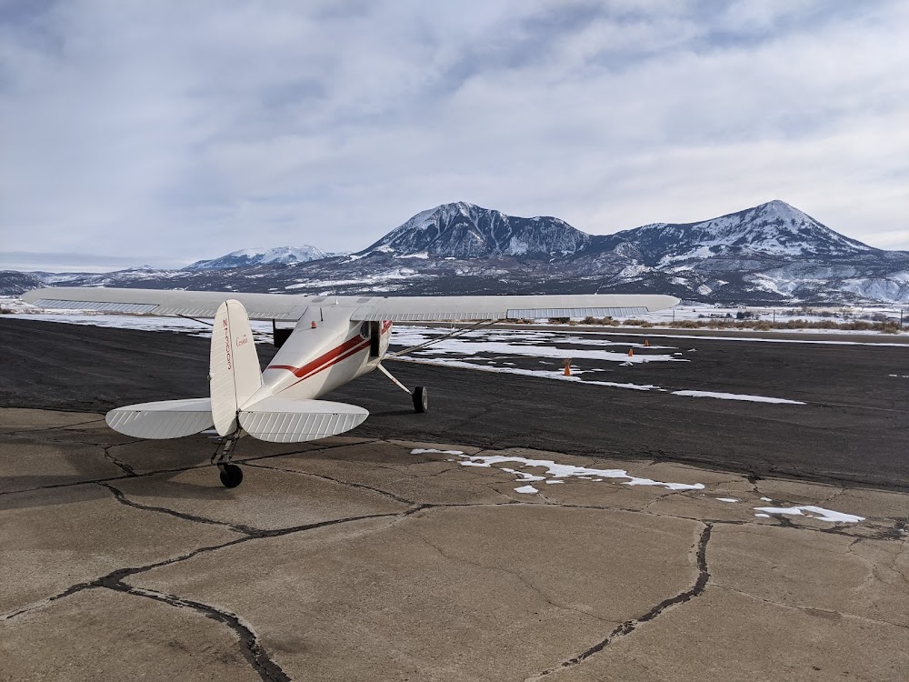
Access: Open to the public
Similar Airports

Click/tap to add an annotation marker to the map
No webcams added yet.
Remarks
- Established prior to 1959
- Rwy 06/24 - 9 to 12 inch berms both sides; rwy 10/28 graded; gopher holes on rwy sfcs; rwys very soft when wet.
- Wildlife invof all rys.
- Ry 10/28 one foot ditch south of ry.
- For cd ctc denver artcc at 303-651-4257.
- City hall phone 379-2225.
- Thld markings skewed at angle to ry 6/24.
- Ry 10/28 marked with yellow 3 ft x 2 ft cones.
Comments