Pirep is a free, collaborative database of all public and private airports. All pilots are welcome to contribute their local knowledge to any airport, no registration required.
Public
Undocumented
METAR / TAF
Edit Tags
No upcoming events. Is anything happening here soon?
Airport Statistics
- Tags
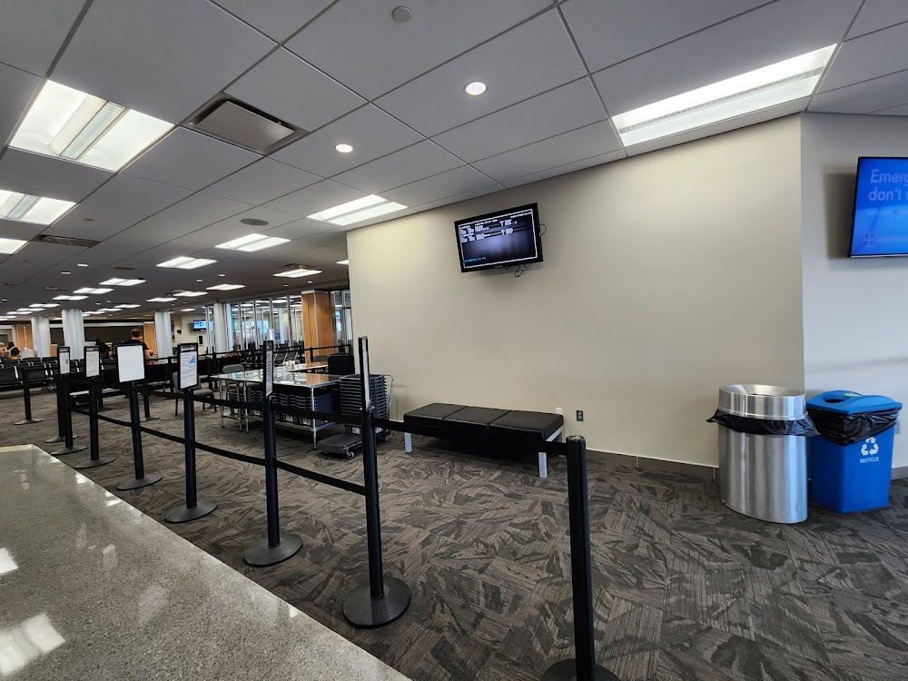
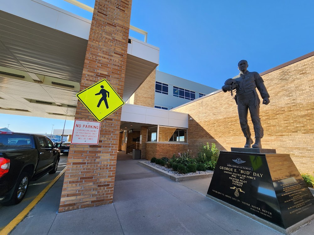
- Airport photos
- Airport map annotations
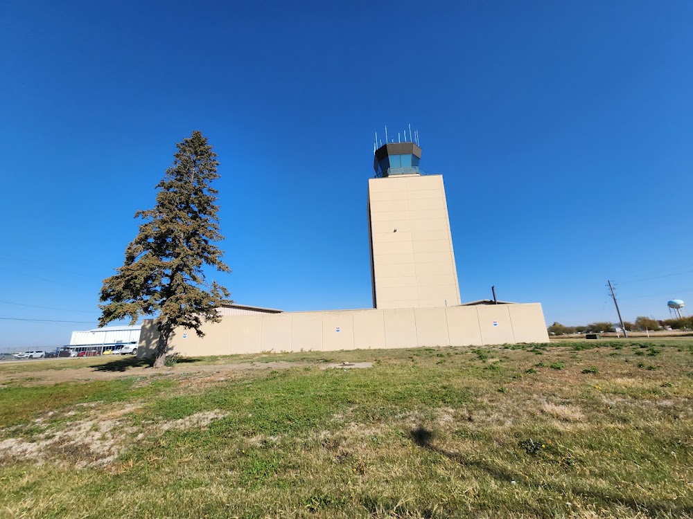
Location:
Sioux City, IA
Elevation:
1,098ft
Sectional:
Omaha
Activation date:
Apr 1940
Fuel:
100LL, A (prices)
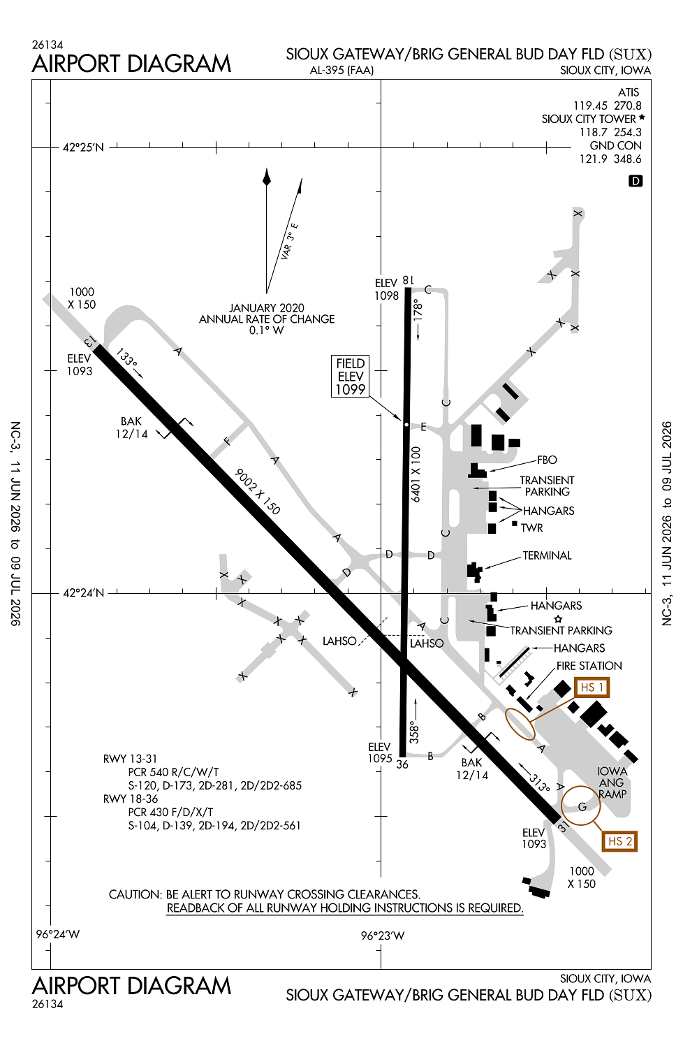
Runway 13/31:
9,002ft
Runway 18/36:
6,401ft
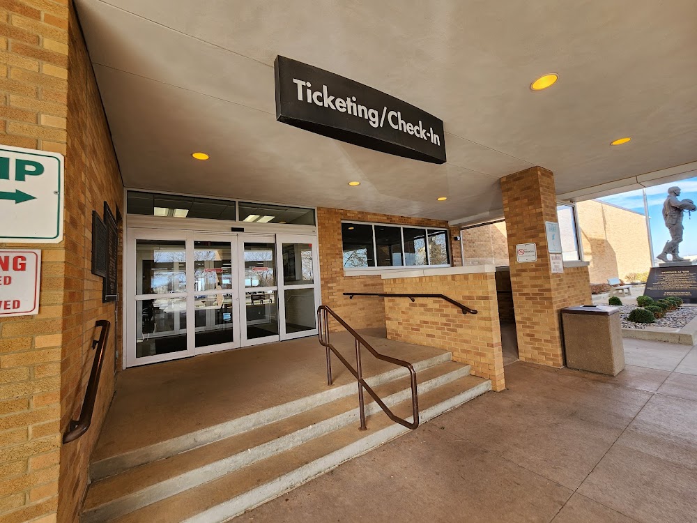
Access: Open to the public
Current Weather — VFR
-
Weather data is strictly informational and not for flight planning purposes.
-
METAR2026-07-21 10:52:00 CDT
Ceiling: 3,100ft Wind: 350° @ 13kt Temperature: 78°F Dewpoint: 60°F Weather: N/A Visbility: 10SM Clouds: Broken @ 3,100ft Raw:METAR KSUX 211552Z 35013KT 10SM BKN031 26/16 A3005 RMK AO2 SLP167 T02560161 -
TAF2026-07-21 11:00:00 CDT – 2026-07-21 13:00:00 CDT
Ceiling: 2,800ft Wind: 340° @ 12kt, gusts 20kt Weather: N/A Visbility: 6SM Clouds: Broken @ 2,800ft Raw:TAF KSUX 211531Z 2116/2212 34012G20KT P6SM BKN028 FM211800 34014G22KT P6SM SCT035 FM220200 01007KT P6SM FEW250 FM220400 VRB04KT P6SM FEW250 -
TAF2026-07-21 13:00:00 CDT – 2026-07-21 21:00:00 CDT
Ceiling: Sky clear Wind: 340° @ 14kt, gusts 22kt Weather: N/A Visbility: 6SM Clouds: Scattered @ 3,500ft Raw:TAF KSUX 211531Z 2116/2212 34012G20KT P6SM BKN028 FM211800 34014G22KT P6SM SCT035 FM220200 01007KT P6SM FEW250 FM220400 VRB04KT P6SM FEW250 -
TAF2026-07-21 21:00:00 CDT – 2026-07-21 23:00:00 CDT
Ceiling: Sky clear Wind: 010° @ 7kt Weather: N/A Visbility: 6SM Clouds: Few @ 25,000ft Raw:TAF KSUX 211531Z 2116/2212 34012G20KT P6SM BKN028 FM211800 34014G22KT P6SM SCT035 FM220200 01007KT P6SM FEW250 FM220400 VRB04KT P6SM FEW250 -
TAF2026-07-21 23:00:00 CDT – 2026-07-22 07:00:00 CDT
Ceiling: Sky clear Wind: Variable Weather: N/A Visbility: 6SM Clouds: Few @ 25,000ft Raw:TAF KSUX 211531Z 2116/2212 34012G20KT P6SM BKN028 FM211800 34014G22KT P6SM SCT035 FM220200 01007KT P6SM FEW250 FM220400 VRB04KT P6SM FEW250
Click/tap to add an annotation marker to the map
No webcams added yet.
Remarks
- Arff index d fire fighting equiptment avbl on request.
- Apch end rwy 31 - bak-12(b)/14 lctd (1492').
- Apch end ry 13 - bak-12/14(b) lctd(1500').
- Ppr for use of ang ramp v(712)-233-0210.
- Ang rmrks: offl bus only/ppr. command post (24 hr opn) dsn 585-0211 or 585-0212 or c712-233-0211/0212. extremely limited parking. trans acft pax ident & baggage search unavbl.base ops opr 1230-2230z++ tue-fri exc hol. c712-233-0276 dsn 585-0276.
Comments