Pirep is a free, collaborative database of all public and private airports. All pilots are welcome to contribute their local knowledge to any airport, no registration required.
No upcoming events. Is anything happening here soon?
Last updated: 2023-06-16 19:49:19 EDT
Airport Statistics
- Webcam links
- Landing & tie-down fees
- Transient parking location
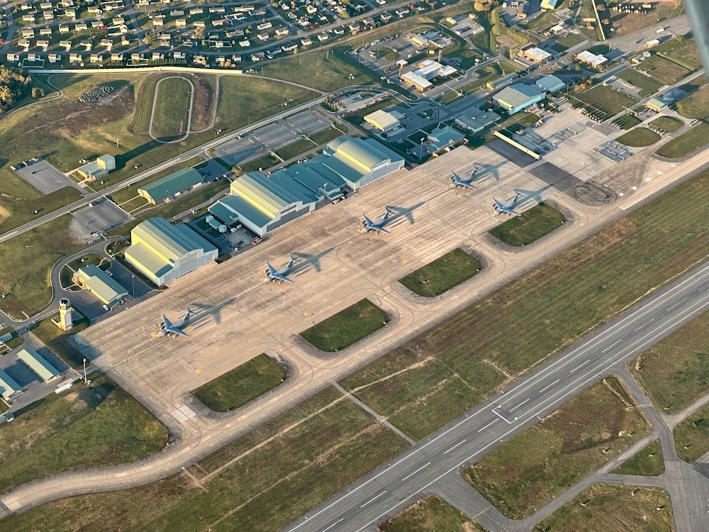
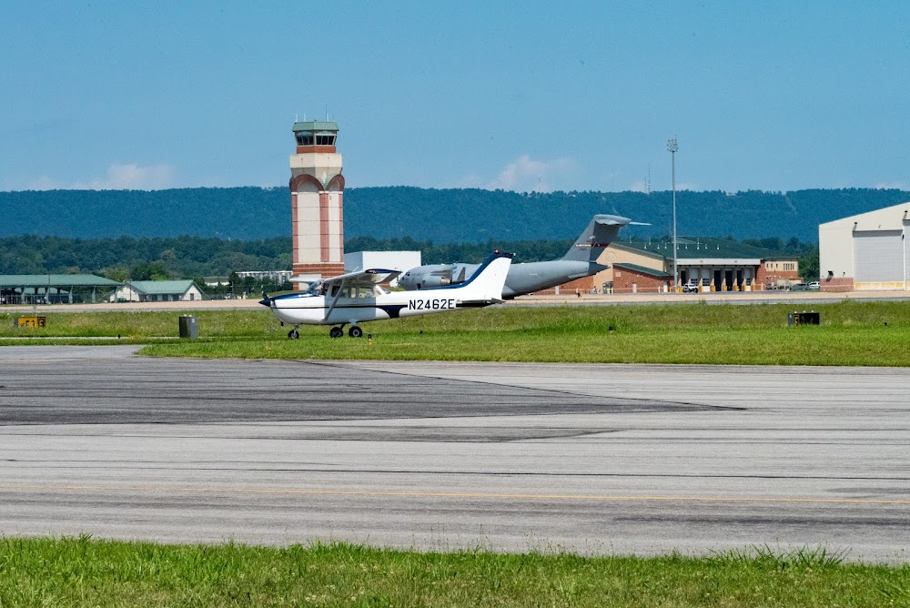
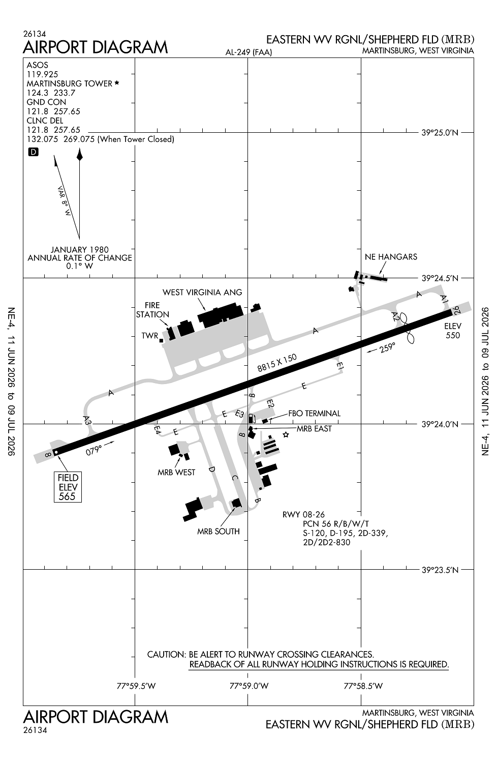
Location:
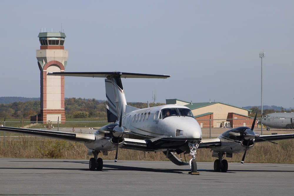
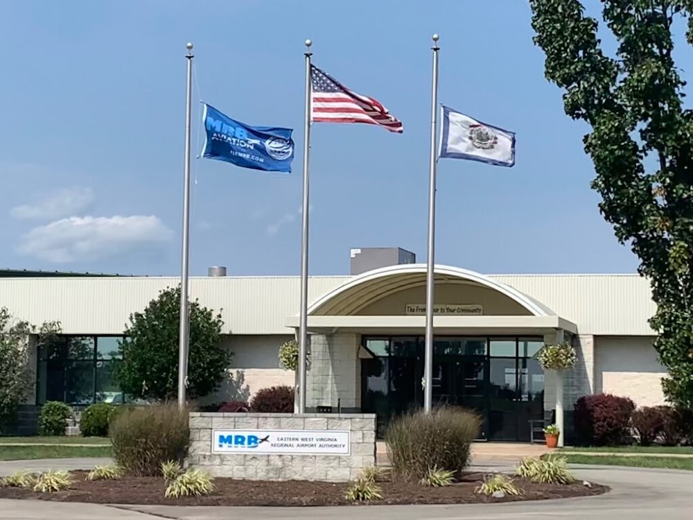
Martinsburg, WV
Elevation:
564ft
Sectional:
Washington
Activation date:
Jun 1938
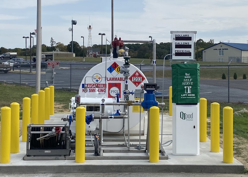
Fuel:
100LL, A, A++ (prices)
Runway 08/26:
8,815ft
Access: Open to the public
Similar Airports
Current Weather — VFR
-
Weather data is strictly informational and not for flight planning purposes.
-
METAR2026-07-21 05:53:00 EDT
Ceiling: 12,000ft Wind: 170° @ 4kt Temperature: 73°F Dewpoint: 71°F Weather: Mist, smoke Visbility: 6SM Clouds: Few @ 10,000ft, Broken @ 12,000ft Raw:METAR KMRB 210953Z AUTO 17004KT 6SM BR FU FEW100 BKN120 23/22 A2982 RMK AO2 SLP093 T02280217 -
TAF2026-07-21 05:00:00 EDT – 2026-07-21 09:00:00 EDT
Ceiling: 8,000ft Wind: 170° @ 3kt Weather: Mist Visbility: 6SM Clouds: Broken @ 8,000ft Raw:TAF KMRB 210905Z 2109/2206 17003KT 6SM BR BKN080 PROB30 2111/2113 5SM -TSRA OVC025CB FM211300 19006KT P6SM BKN080 FM211800 23010G18KT P6SM SCT035 BKN090 TEMPO 2118/2121 3SM -TSRA OVC035CB FM212200 23009KT P6SM SCT050 BKN100 PROB30 2203/2206 5SM -SHRA OVC050 -
TAF2026-07-21 07:00:00 EDT – 2026-07-21 09:00:00 EDT
Ceiling: 2,500ft Wind: 000° @ kt Weather: Light thunderstorm rain Visbility: 5SM Clouds: Overcast @ 2,500ft Raw:TAF KMRB 210905Z 2109/2206 17003KT 6SM BR BKN080 PROB30 2111/2113 5SM -TSRA OVC025CB FM211300 19006KT P6SM BKN080 FM211800 23010G18KT P6SM SCT035 BKN090 TEMPO 2118/2121 3SM -TSRA OVC035CB FM212200 23009KT P6SM SCT050 BKN100 PROB30 2203/2206 5SM -SHRA OVC050 -
TAF2026-07-21 09:00:00 EDT – 2026-07-21 14:00:00 EDT
Ceiling: 8,000ft Wind: 190° @ 6kt Weather: N/A Visbility: 6SM Clouds: Broken @ 8,000ft Raw:TAF KMRB 210905Z 2109/2206 17003KT 6SM BR BKN080 PROB30 2111/2113 5SM -TSRA OVC025CB FM211300 19006KT P6SM BKN080 FM211800 23010G18KT P6SM SCT035 BKN090 TEMPO 2118/2121 3SM -TSRA OVC035CB FM212200 23009KT P6SM SCT050 BKN100 PROB30 2203/2206 5SM -SHRA OVC050 -
TAF2026-07-21 14:00:00 EDT – 2026-07-21 18:00:00 EDT
Ceiling: 9,000ft Wind: 230° @ 10kt, gusts 18kt Weather: N/A Visbility: 6SM Clouds: Scattered @ 3,500ft, Broken @ 9,000ft Raw:TAF KMRB 210905Z 2109/2206 17003KT 6SM BR BKN080 PROB30 2111/2113 5SM -TSRA OVC025CB FM211300 19006KT P6SM BKN080 FM211800 23010G18KT P6SM SCT035 BKN090 TEMPO 2118/2121 3SM -TSRA OVC035CB FM212200 23009KT P6SM SCT050 BKN100 PROB30 2203/2206 5SM -SHRA OVC050 -
TAF2026-07-21 14:00:00 EDT – 2026-07-21 17:00:00 EDT
Ceiling: 3,500ft Wind: 000° @ kt Weather: Light thunderstorm rain Visbility: 3SM Clouds: Overcast @ 3,500ft Raw:TAF KMRB 210905Z 2109/2206 17003KT 6SM BR BKN080 PROB30 2111/2113 5SM -TSRA OVC025CB FM211300 19006KT P6SM BKN080 FM211800 23010G18KT P6SM SCT035 BKN090 TEMPO 2118/2121 3SM -TSRA OVC035CB FM212200 23009KT P6SM SCT050 BKN100 PROB30 2203/2206 5SM -SHRA OVC050 -
TAF2026-07-21 18:00:00 EDT – 2026-07-22 02:00:00 EDT
Ceiling: 10,000ft Wind: 230° @ 9kt Weather: N/A Visbility: 6SM Clouds: Scattered @ 5,000ft, Broken @ 10,000ft Raw:TAF KMRB 210905Z 2109/2206 17003KT 6SM BR BKN080 PROB30 2111/2113 5SM -TSRA OVC025CB FM211300 19006KT P6SM BKN080 FM211800 23010G18KT P6SM SCT035 BKN090 TEMPO 2118/2121 3SM -TSRA OVC035CB FM212200 23009KT P6SM SCT050 BKN100 PROB30 2203/2206 5SM -SHRA OVC050 -
TAF2026-07-21 23:00:00 EDT – 2026-07-22 02:00:00 EDT
Ceiling: 5,000ft Wind: 000° @ kt Weather: Light rain showers Visbility: 5SM Clouds: Overcast @ 5,000ft Raw:TAF KMRB 210905Z 2109/2206 17003KT 6SM BR BKN080 PROB30 2111/2113 5SM -TSRA OVC025CB FM211300 19006KT P6SM BKN080 FM211800 23010G18KT P6SM SCT035 BKN090 TEMPO 2118/2121 3SM -TSRA OVC035CB FM212200 23009KT P6SM SCT050 BKN100 PROB30 2203/2206 5SM -SHRA OVC050
Click/tap to add an annotation marker to the map
No webcams added yet.
Remarks
- Deer & birds on & invof arpt.
- Twy b clsd fm fuel farm s.
- Nstd white aerospace gnd and eqpt gearboxes.
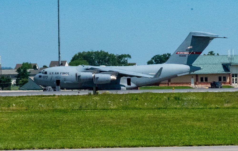
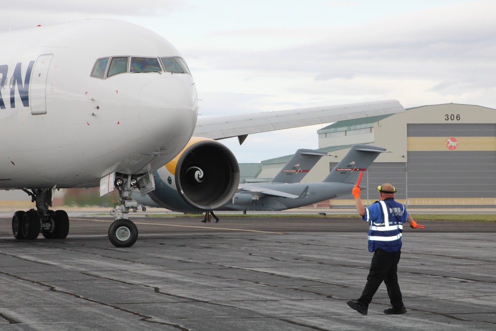
- Military: ang: all mil acft must ctc pikeside (297.9) 20 min prior to ldg and prior to engine start. dsn 242-5205, c 304-616-5205. flt plans may be filed by efb or other flight plan filing software. send to 167.aw.airfield.management@us.af.mil.
- Addnl rwy 08/26 wt brgs: 2s-175; 2d/d1-568; 2t-585; c5-840.
Comments