Pirep is a free, collaborative database of all public and private airports. All pilots are welcome to contribute their local knowledge to any airport, no registration required.

Public
Edit Tags
No upcoming events. Is anything happening here soon?
Last updated: 2023-10-19 19:39:25 PDT
Last updated: 2023-10-19 19:39:25 PDT
Last updated: 2023-10-19 14:33:55 PDT
Last updated: 2023-10-19 14:33:55 PDT
Last updated: 2023-10-19 14:33:55 PDT
Last updated: 2023-10-19 14:33:55 PDT
Last updated: 2023-10-19 19:39:25 PDT
Airport Statistics
- Airport photos
- Tags
- Airport map annotations
Location:
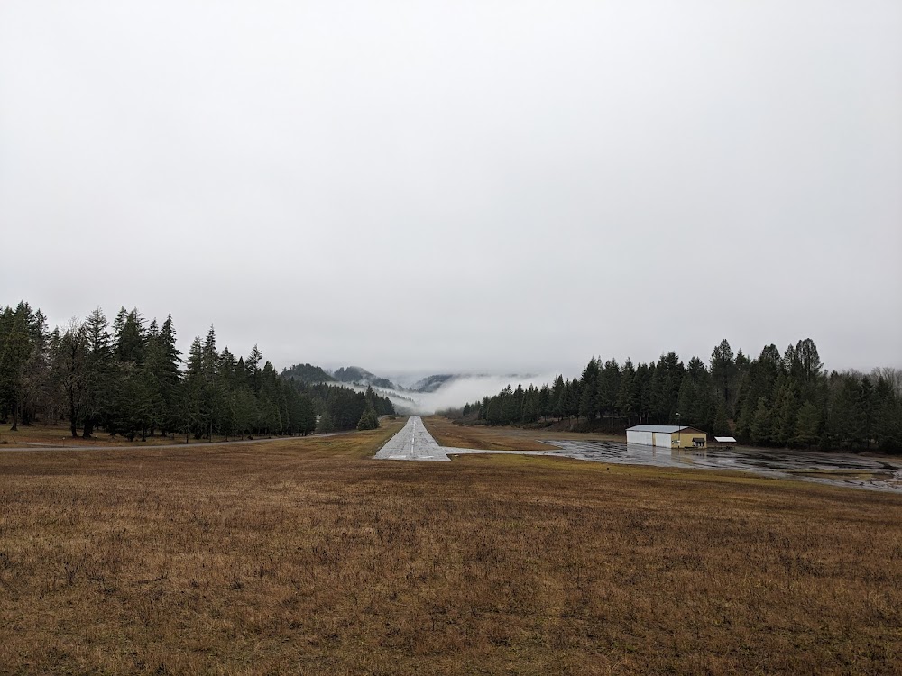
Oakridge, OR
Elevation:
1,393ft
Sectional:
Klamath Falls
Activation date:
Dec 1961
Fuel:
None
Runway 09/27:
3,610ft
Access: Open to the public
Click/tap to add an annotation marker to the map
No webcams added yet.
Remarks
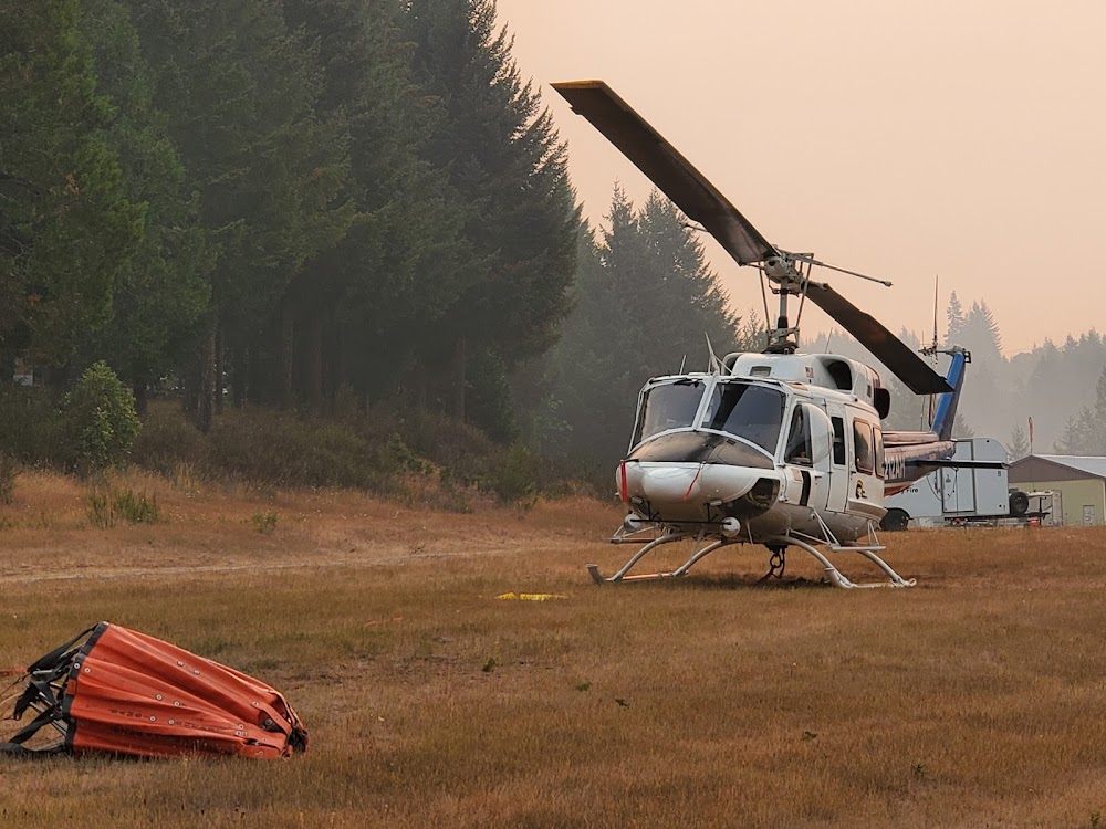
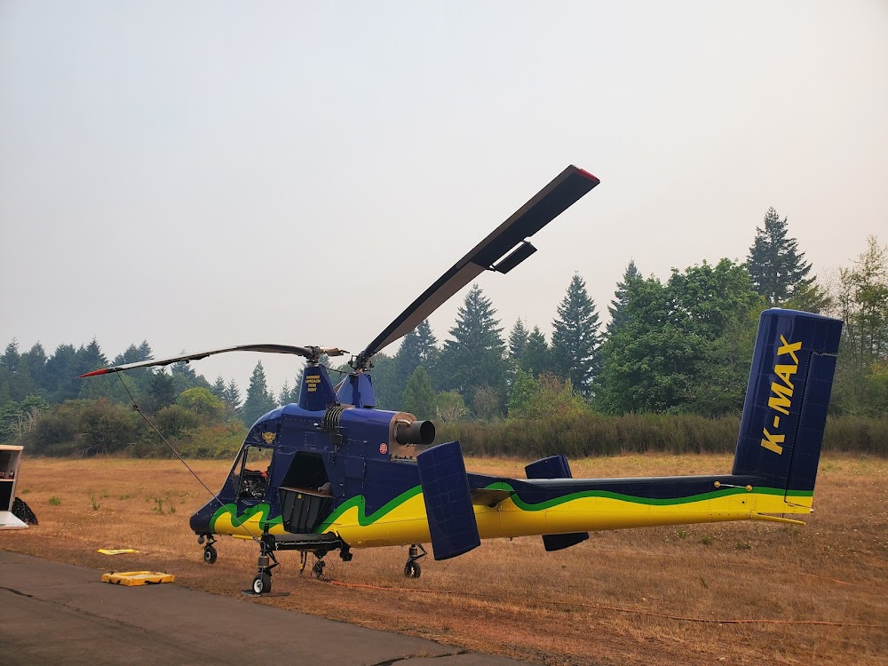
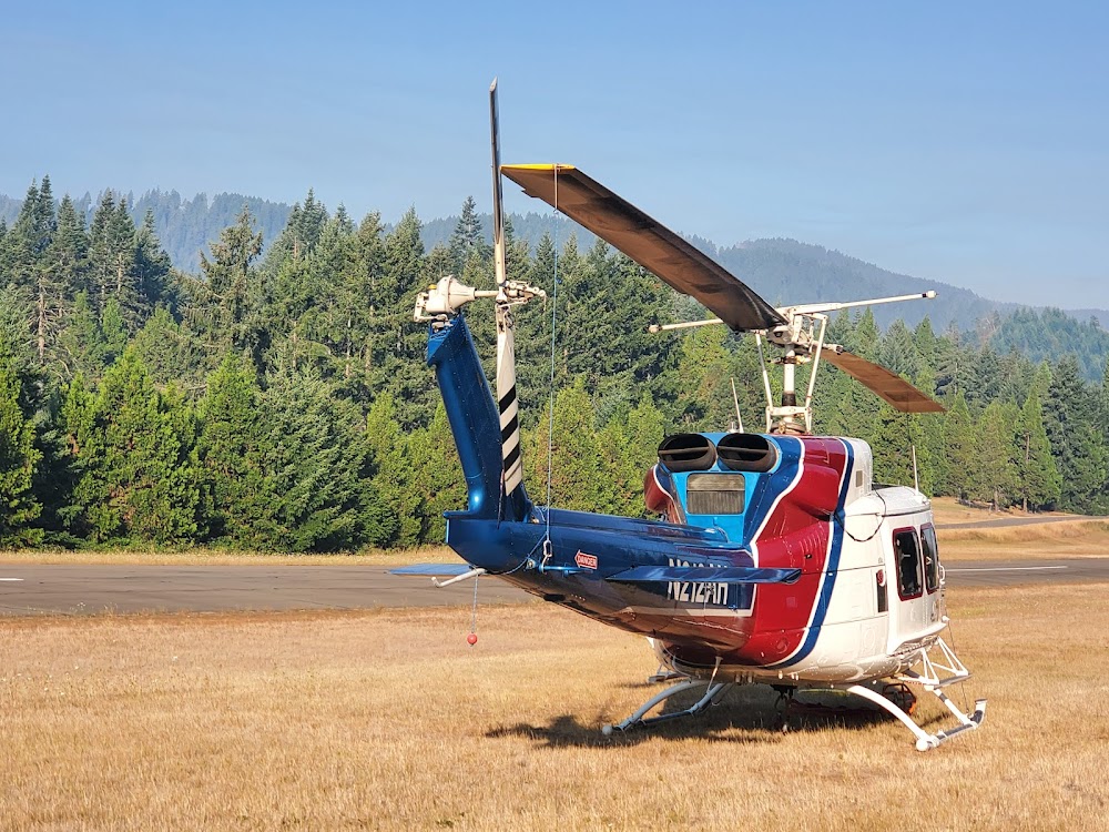
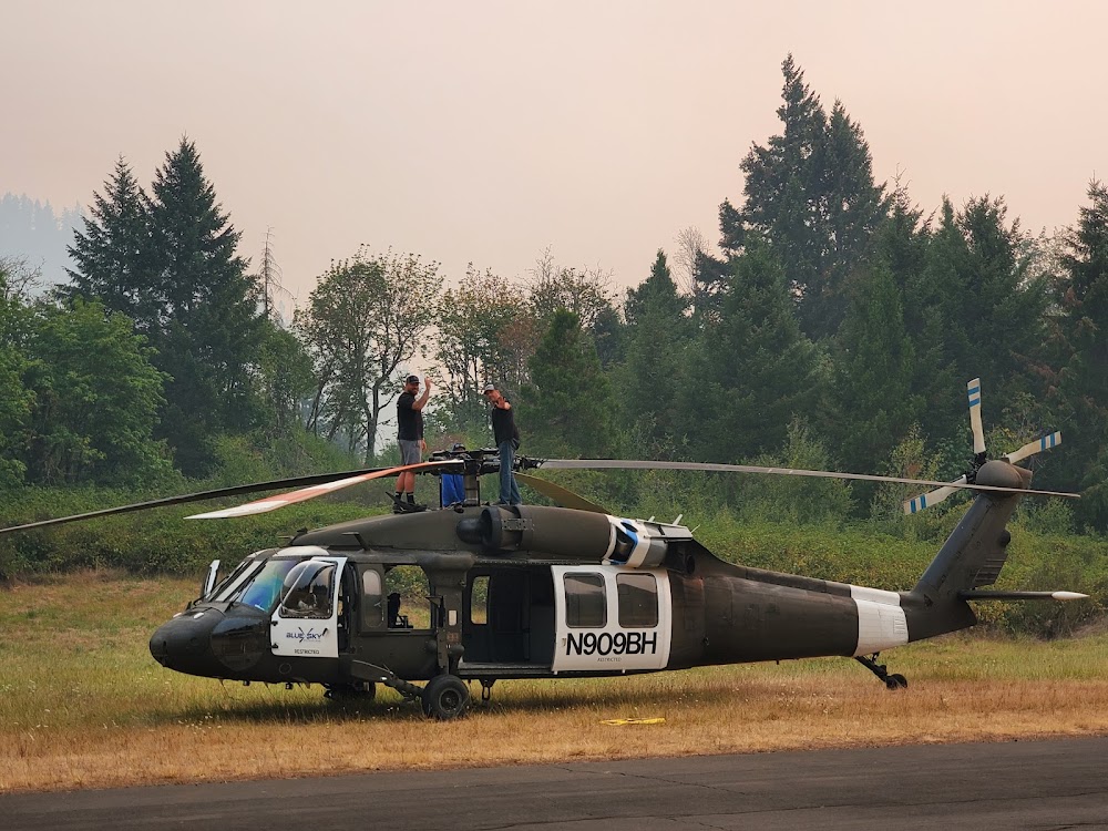
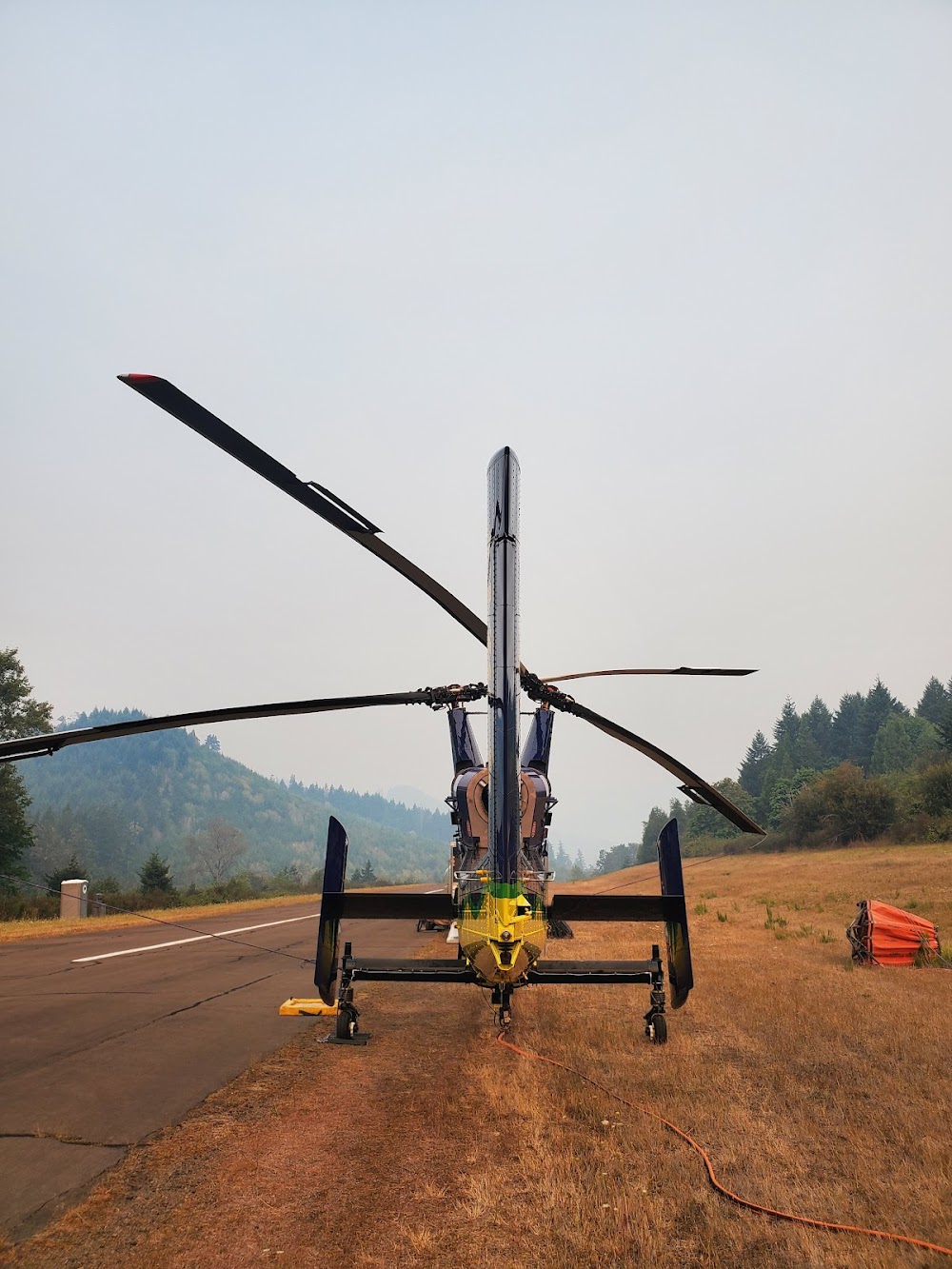
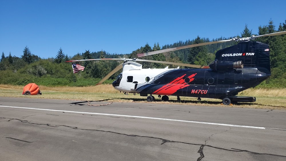
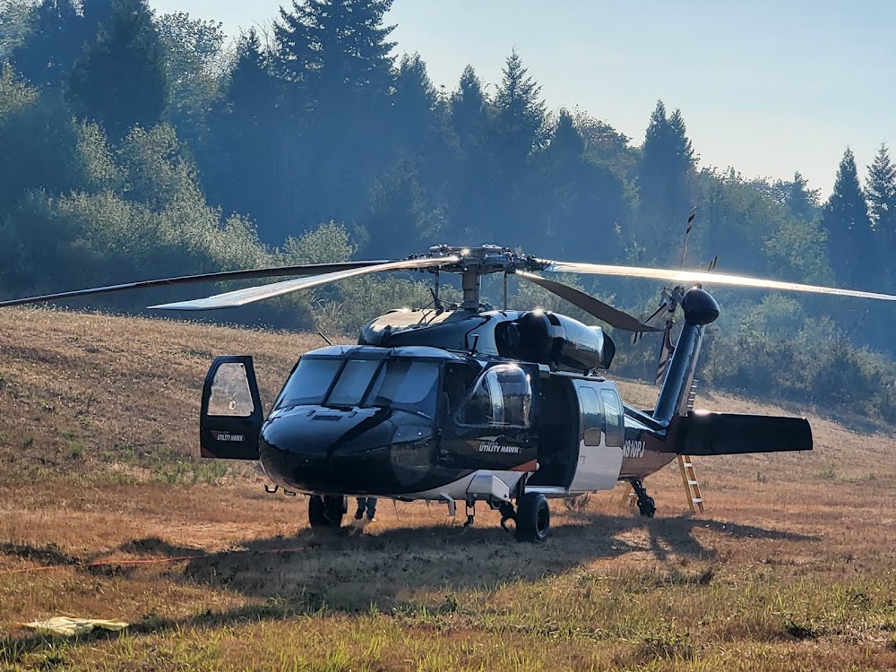
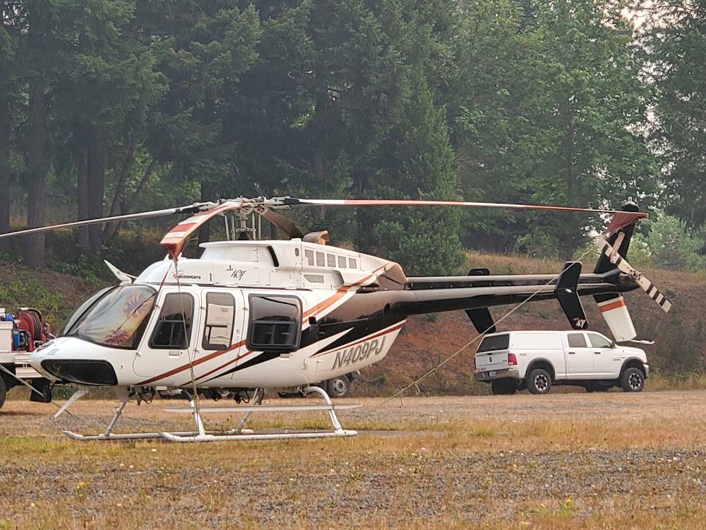
- Usfs helicopters active invof arpt during fire season.
- Deer and elk on and invof arpt.
- Irregular winter maintenance; arpt may be closed by snow.
- Surface conditions not reported.
- For cd ctc seattle artcc at 253-351-3694.
- Segmented circle mkd with orange and white tires.
- Beyond road slope is 8:1 based on 130' tree at 1275' from runway end and 100' right of centerline.
- Terrain rises smoothly at 14:1 fm ry end to +14 ft at 200 ft fm ry & continues to rise to +65 ft at 920 ft fm ry end on cntrln.
Comments