Pirep is a free, collaborative database of all public and private airports. All pilots are welcome to contribute their local knowledge to any airport, no registration required.
Public
Undocumented
Edit Tags
No upcoming events. Is anything happening here soon?
Airport Statistics
- Landing & tie-down fees
- Airport map annotations
- General description
Location:
Seguin, TX
Elevation:
556ft
Sectional:
San Antonio
Activation date:
Jun 2000
Fuel:
100LL
Runway 16/34:
3,415ft
Runway 18/36:
3,415ft
Access: Open to the public
This airport is privately owned but open to the public.
Click/tap to add an annotation marker to the map
No webcams added yet.
Remarks
- For cd ctc san antonio apch at 210-805-5516.
- Or 619-228-5885 mgr cell. derrick@veracityaviation.com
- Fuel self-serve.
- Only center 3285 lgtd.
- Rwy 16, 5 ft fence, 122 ft dstc; 18 ft rd 164 ft dstc acrs apch.
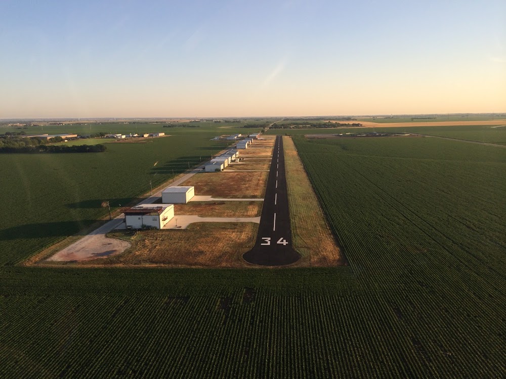
- Rwy 34, 7 ft crops 0-199 dstc, acrs apch. seasonal.
- Actvt lirl rwy 18/36 - ctaf.
- Only cntr 3285 ft lgtd.
Comments