Pirep is a free, collaborative database of all public and private airports. All pilots are welcome to contribute their local knowledge to any airport, no registration required.

Public
Undocumented
METAR / TAF
Edit Tags
No upcoming events. Is anything happening here soon?
Airport Statistics
- Landing & tie-down fees
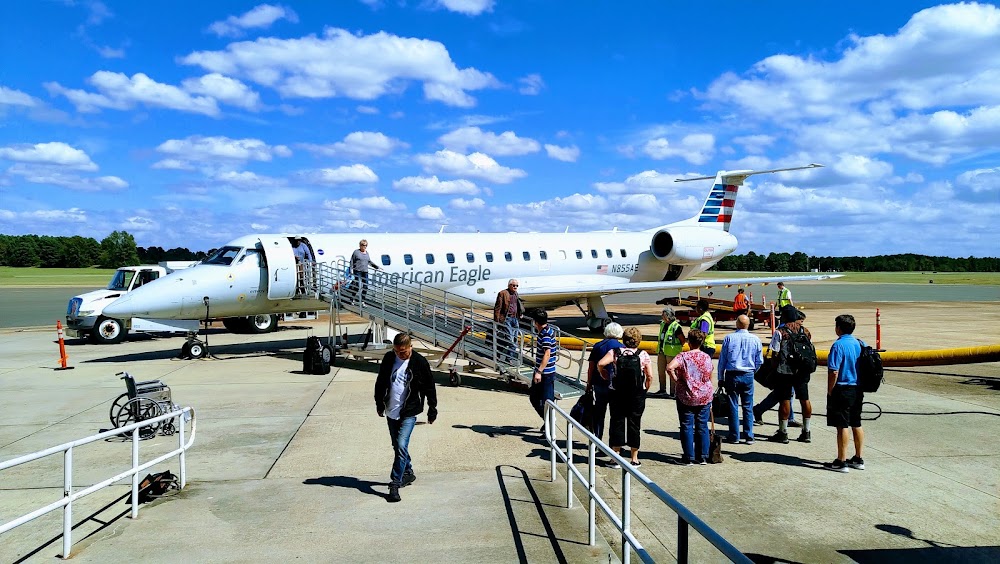
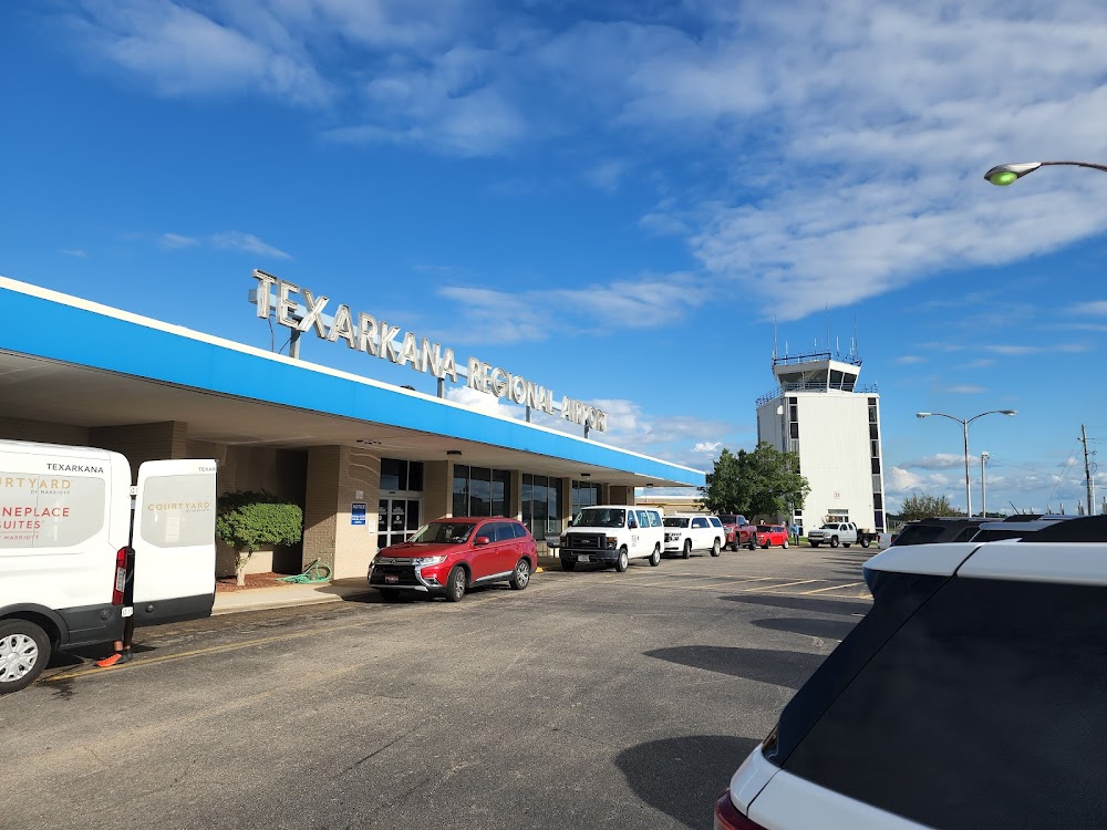
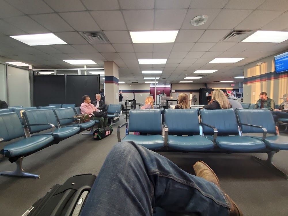
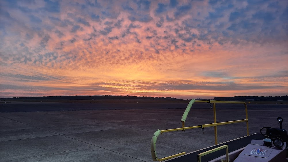
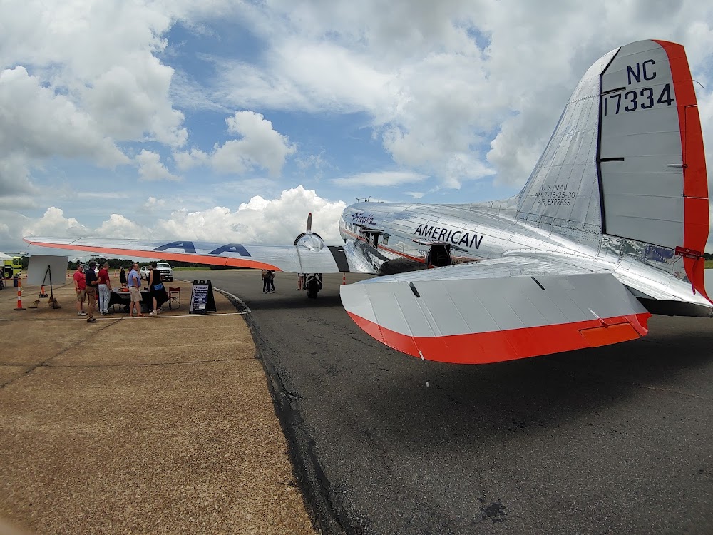
- Airport photos
- General description
Location:
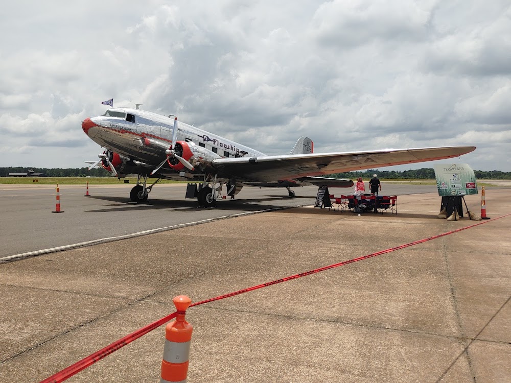
Texarkana, AR
Elevation:
389ft
Sectional:
Memphis
Activation date:
Apr 1940
Fuel:
100LL, A (prices)
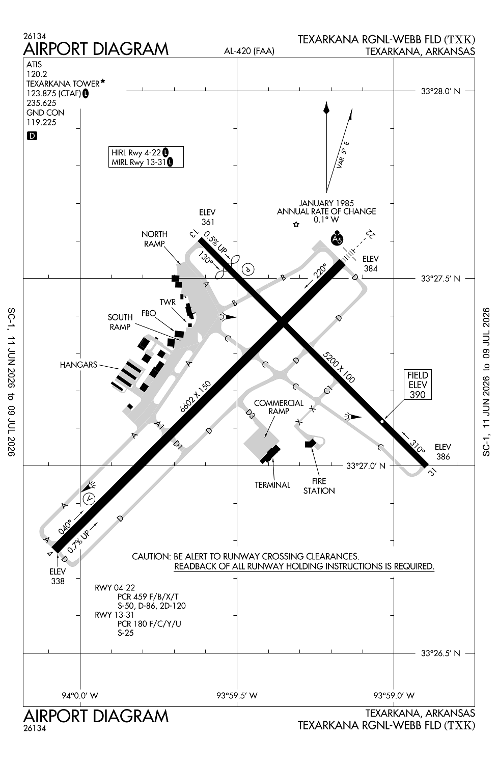
Runway 04/22:
6,602ft
Runway 13/31:
5,200ft
Access: Open to the public
Current Weather — VFR
-
Weather data is strictly informational and not for flight planning purposes.
-
METAR2026-07-21 06:53:00 CDT
Ceiling: Sky clear Wind: 280° @ 4kt Temperature: 84°F Dewpoint: 73°F Weather: N/A Visbility: 10SM Raw:METAR KTXK 211153Z 28004KT 10SM CLR 29/23 A2991 RMK AO2 SLP121 T02940233 10300 20283 51013 -
TAF2026-07-21 07:00:00 CDT – 2026-07-21 10:00:00 CDT
Ceiling: Sky clear Wind: Variable Weather: N/A Visbility: 6SM Clouds: @ ft Raw:TAF KTXK 211120Z 2112/2212 VRB03KT P6SM SKC FM211500 31005KT P6SM SCT100 FM220000 00000KT P6SM BKN250 FM220600 VRB03KT P6SM SKC -
TAF2026-07-21 10:00:00 CDT – 2026-07-21 19:00:00 CDT
Ceiling: Sky clear Wind: 310° @ 5kt Weather: N/A Visbility: 6SM Clouds: Scattered @ 10,000ft Raw:TAF KTXK 211120Z 2112/2212 VRB03KT P6SM SKC FM211500 31005KT P6SM SCT100 FM220000 00000KT P6SM BKN250 FM220600 VRB03KT P6SM SKC -
TAF2026-07-21 19:00:00 CDT – 2026-07-22 01:00:00 CDT
Ceiling: 25,000ft Wind: Calm Weather: N/A Visbility: 6SM Clouds: Broken @ 25,000ft Raw:TAF KTXK 211120Z 2112/2212 VRB03KT P6SM SKC FM211500 31005KT P6SM SCT100 FM220000 00000KT P6SM BKN250 FM220600 VRB03KT P6SM SKC -
TAF2026-07-22 01:00:00 CDT – 2026-07-22 07:00:00 CDT
Ceiling: Sky clear Wind: Variable Weather: N/A Visbility: 6SM Clouds: @ ft Raw:TAF KTXK 211120Z 2112/2212 VRB03KT P6SM SKC FM211500 31005KT P6SM SCT100 FM220000 00000KT P6SM BKN250 FM220600 VRB03KT P6SM SKC
Click/tap to add an annotation marker to the map
No webcams added yet.
Remarks
- This airport has been surveyed by the national geodetic survey.
- Deer on & invof arpt.
- For cd if una to ctc on fss freq, ctc fort worth artcc at 817-858-7584.
- When atct clsd actvt malsr rwy 22; hirl rwy 04/22; mirl rwy 13/31 - ctaf.
- Texarkana airport authority
Comments