Pirep is a free, collaborative database of all public and private airports. All pilots are welcome to contribute their local knowledge to any airport, no registration required.
Public
Undocumented
METAR / TAF
Edit Tags
No upcoming events. Is anything happening here soon?
Airport Statistics
- Landing & tie-down fees
- Airport map annotations
- General description
Location:
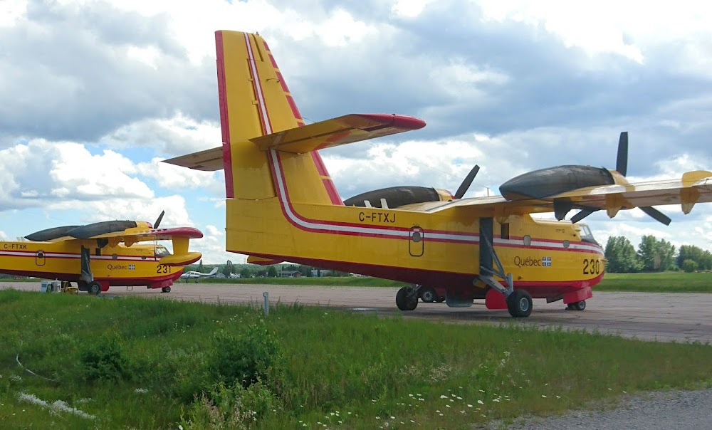
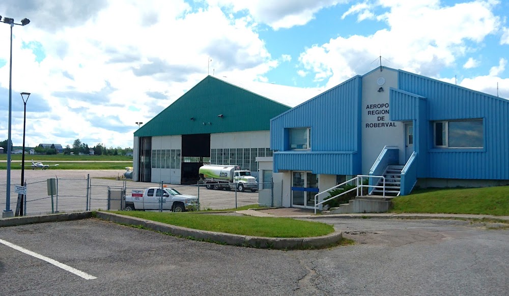
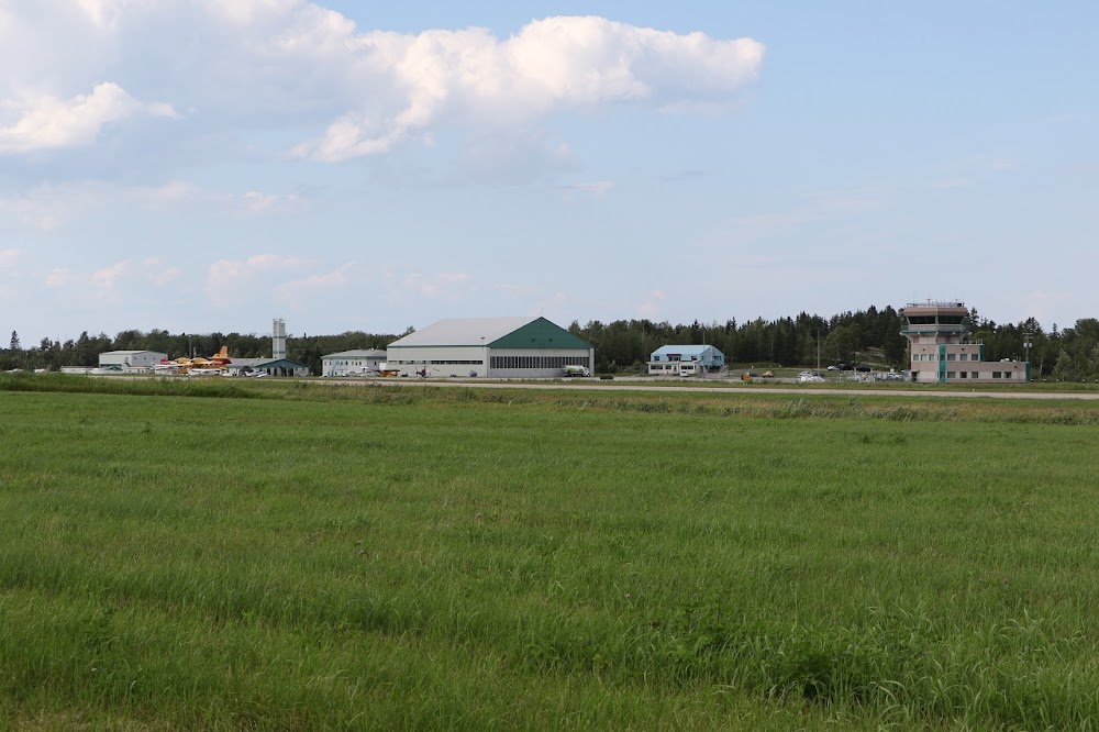
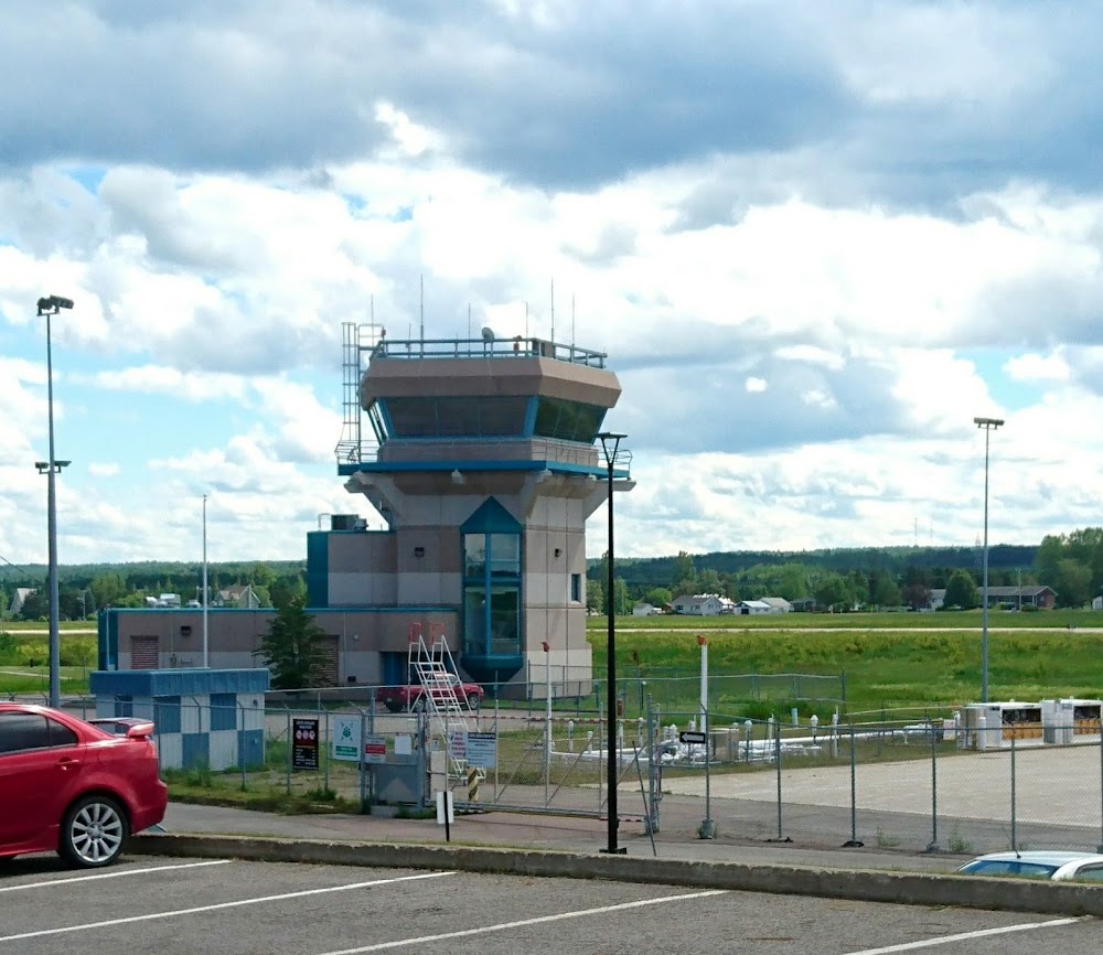
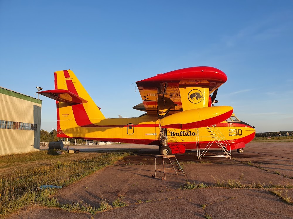
Roberval, Quebec
Elevation:
586ft
Runway 16/34:
5,000ft
Warning: This airport was imported from a non-authoritative source. Its public/private status may not be accurate.
Access: Open to the public
Current Weather — MVFR
-
Weather data is strictly informational and not for flight planning purposes.
-
METAR2026-07-16 17:24:00 EDT
Ceiling: 2,900ft Wind: 320° @ 14kt Temperature: 53°F Dewpoint: 46°F Weather: Showers in vicinity Visbility: 25SM Clouds: Overcast @ 2,900ft Raw:SPECI CYRJ 162124Z 32014KT 25SM VCSH OVC029 12/08 A2974 RMK SC8 WIND EST SLP075 -
TAF2026-07-16 16:00:00 EDT – 2026-07-16 18:00:00 EDT
Ceiling: 4,000ft Wind: 310° @ 15kt, gusts 30kt Weather: N/A Visbility: 6SM Clouds: Scattered @ 2,000ft, Broken @ 4,000ft Raw:TAF CYRJ 161940Z 1620/1702 31015G30KT P6SM SCT020 BKN040 TEMPO 1620/1702 P6SM -SHRA BKN020 OVC050 BECMG 1622/1624 31015G25KT RMK NXT FCST BY 171200Z -
TAF2026-07-16 16:00:00 EDT – 2026-07-16 22:00:00 EDT
Ceiling: 2,000ft Wind: 000° @ kt Weather: Light rain showers Visbility: 6SM Clouds: Broken @ 2,000ft, Overcast @ 5,000ft Raw:TAF CYRJ 161940Z 1620/1702 31015G30KT P6SM SCT020 BKN040 TEMPO 1620/1702 P6SM -SHRA BKN020 OVC050 BECMG 1622/1624 31015G25KT RMK NXT FCST BY 171200Z -
TAF2026-07-16 18:00:00 EDT – 2026-07-16 22:00:00 EDT
Ceiling: 4,000ft Wind: 310° @ 15kt, gusts 25kt Weather: N/A Visbility: 6SM Clouds: Scattered @ 2,000ft, Broken @ 4,000ft Raw:TAF CYRJ 161940Z 1620/1702 31015G30KT P6SM SCT020 BKN040 TEMPO 1620/1702 P6SM -SHRA BKN020 OVC050 BECMG 1622/1624 31015G25KT RMK NXT FCST BY 171200Z
Click/tap to add an annotation marker to the map
No webcams added yet.
Comments