Pirep is a free, collaborative database of all public and private airports. All pilots are welcome to contribute their local knowledge to any airport, no registration required.


Public
Undocumented
METAR / TAF
Edit Tags
No upcoming events. Is anything happening here soon?
Airport Statistics
- Transient parking location
- Landing & tie-down fees
- Airport map annotations
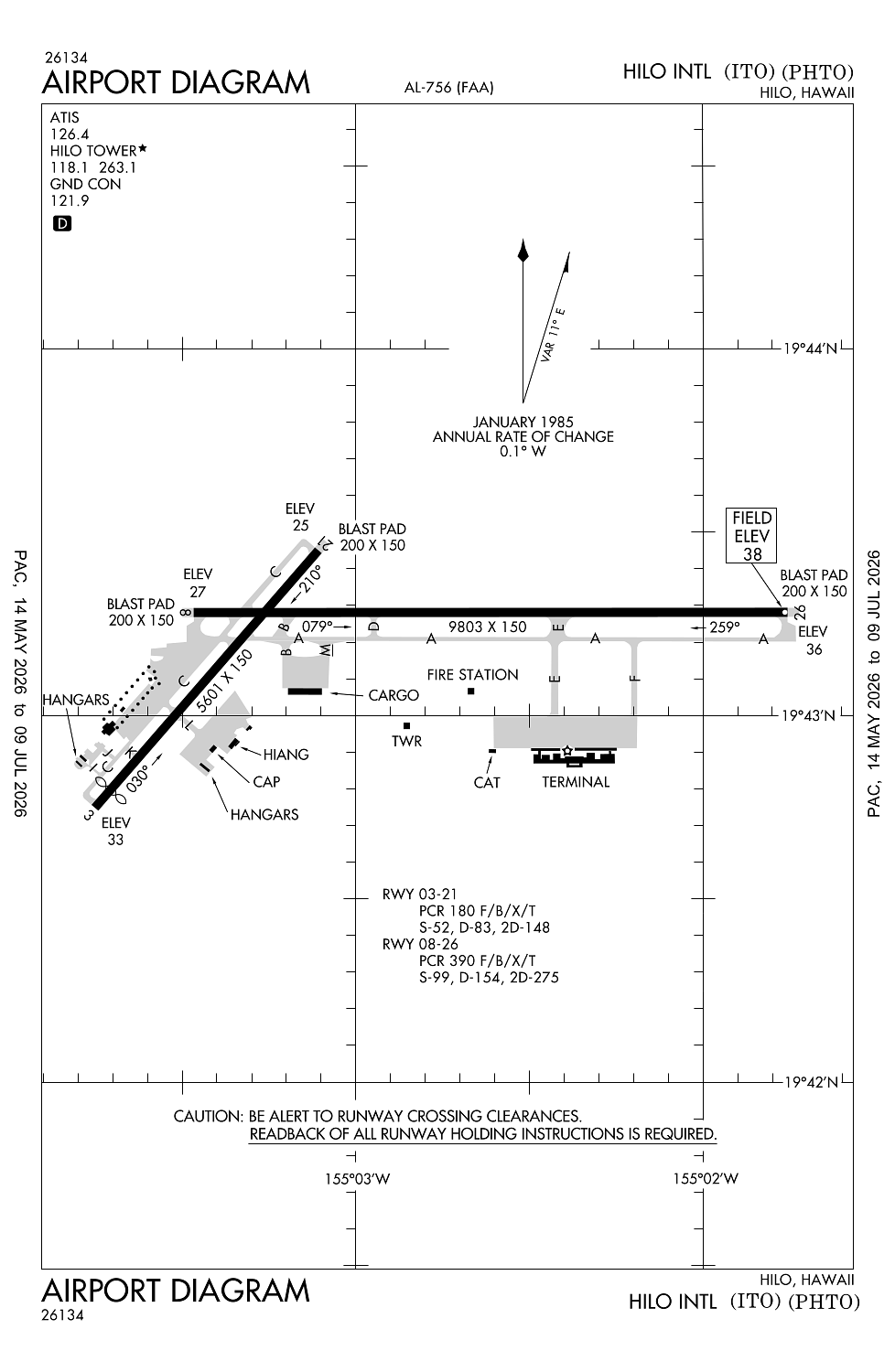
Location:
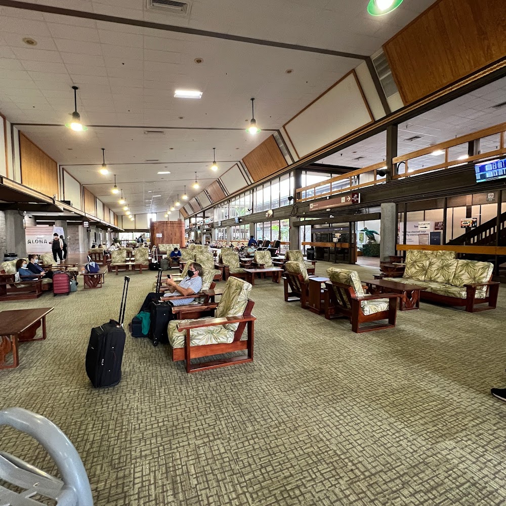
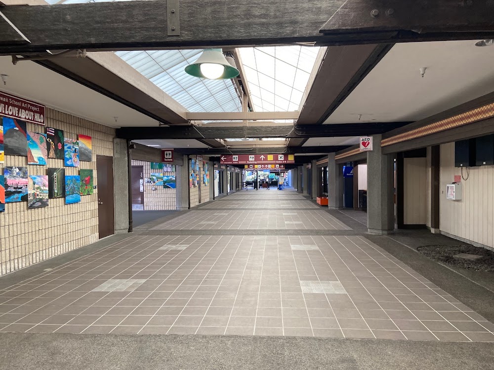
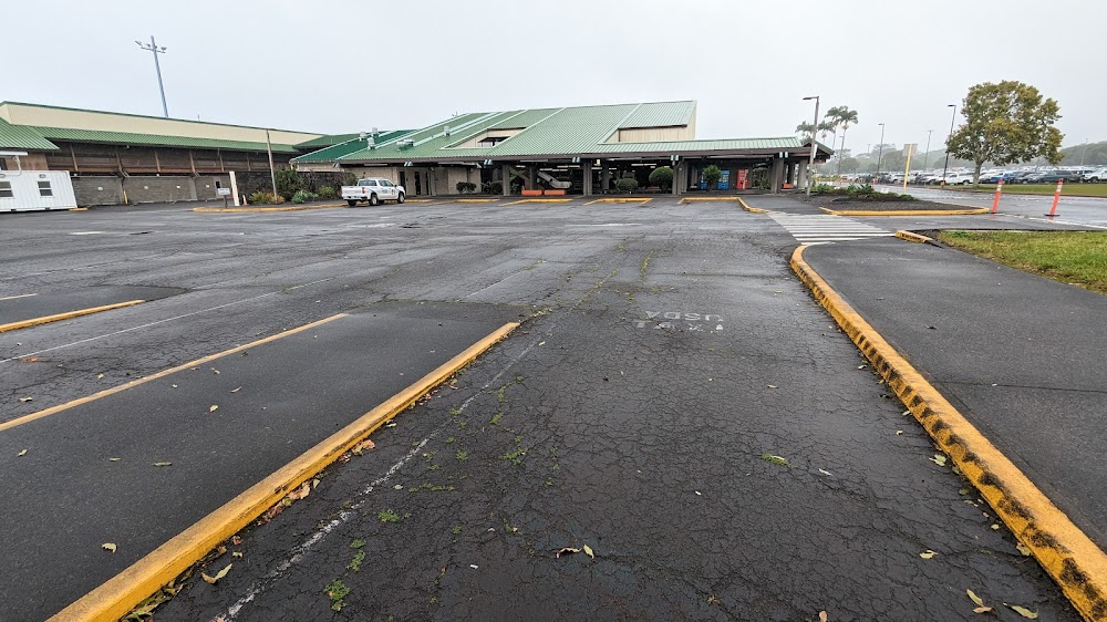
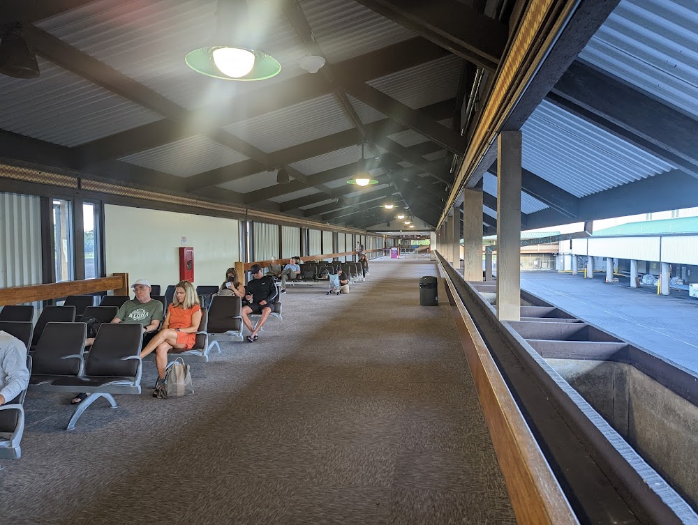
Hilo, HI
Elevation:
37ft
Sectional:
Hawaiian Islands
Activation date:
Apr 1938
Fuel:
100LL, A, A+, MOGAS (prices)
Runway 08/26:
9,803ft
Runway 03/21:
5,601ft
Access: Open to the public
Current Weather — MVFR
-
Weather data is strictly informational and not for flight planning purposes.
-
METAR2026-07-21 03:23:00 HST
Ceiling: 2,600ft Wind: 220° @ 3kt Temperature: 73°F Dewpoint: 71°F Weather: N/A Visbility: 10SM Clouds: Broken @ 2,600ft, Overcast @ 3,300ft Raw:SPECI PHTO 211323Z AUTO 22003KT 10SM BKN026 OVC033 23/22 A2991 RMK AO2 T02280217 TSNO $ -
TAF2026-07-21 02:00:00 HST – 2026-07-21 11:00:00 HST
Ceiling: 3,000ft Wind: 230° @ 5kt Weather: Showers in vicinity Visbility: 6SM Clouds: Scattered @ 1,500ft, Broken @ 3,000ft Raw:TAF PHTO 211120Z 2112/2212 23005KT P6SM VCSH SCT015 BKN030 PROB30 2112/2118 3SM SHRA BR BKN015 FM212100 03008KT P6SM VCSH SCT020 BKN035 FM220800 23005KT P6SM VCSH SCT020 BKN035 -
TAF2026-07-21 02:00:00 HST – 2026-07-21 08:00:00 HST
Ceiling: 1,500ft Wind: 000° @ kt Weather: Rain showers, mist Visbility: 3SM Clouds: Broken @ 1,500ft Raw:TAF PHTO 211120Z 2112/2212 23005KT P6SM VCSH SCT015 BKN030 PROB30 2112/2118 3SM SHRA BR BKN015 FM212100 03008KT P6SM VCSH SCT020 BKN035 FM220800 23005KT P6SM VCSH SCT020 BKN035 -
TAF2026-07-21 11:00:00 HST – 2026-07-21 22:00:00 HST
Ceiling: 3,500ft Wind: 030° @ 8kt Weather: Showers in vicinity Visbility: 6SM Clouds: Scattered @ 2,000ft, Broken @ 3,500ft Raw:TAF PHTO 211120Z 2112/2212 23005KT P6SM VCSH SCT015 BKN030 PROB30 2112/2118 3SM SHRA BR BKN015 FM212100 03008KT P6SM VCSH SCT020 BKN035 FM220800 23005KT P6SM VCSH SCT020 BKN035 -
TAF2026-07-21 22:00:00 HST – 2026-07-22 02:00:00 HST
Ceiling: 3,500ft Wind: 230° @ 5kt Weather: Showers in vicinity Visbility: 6SM Clouds: Scattered @ 2,000ft, Broken @ 3,500ft Raw:TAF PHTO 211120Z 2112/2212 23005KT P6SM VCSH SCT015 BKN030 PROB30 2112/2118 3SM SHRA BR BKN015 FM212100 03008KT P6SM VCSH SCT020 BKN035 FM220800 23005KT P6SM VCSH SCT020 BKN035
Click/tap to add an annotation marker to the map
No webcams added yet.
Remarks
- This airport has been surveyed by the national geodetic survey.
- Arff avbl 24 hrs, contact 118.1 or 808-961-9317.
- Rwy 08 pvd 1325' mkd by chevrons, unusbl for lndg/tkof/ovrn/sty; cannot be used in computing tkof data.
- Atct ctls entry/exit tfc on twys f&e to east trml ramp.
- 181' lgtd smoke stack 1/2 sm south of fld.
Comments