Pirep is a free, collaborative database of all public and private airports. All pilots are welcome to contribute their local knowledge to any airport, no registration required.
This airport is temporarily locked. Edits may not be made while locked.
Public
Undocumented
METAR / TAF
Edit Tags
No upcoming events. Is anything happening here soon?
Airport Statistics
- Landing & tie-down fees
- WiFi availability
- Crew car availability
Location:
Washington, VA
Elevation:
14ft
Sectional:
Washington
Activation date:
Mar 1941
Fuel:
A (prices)
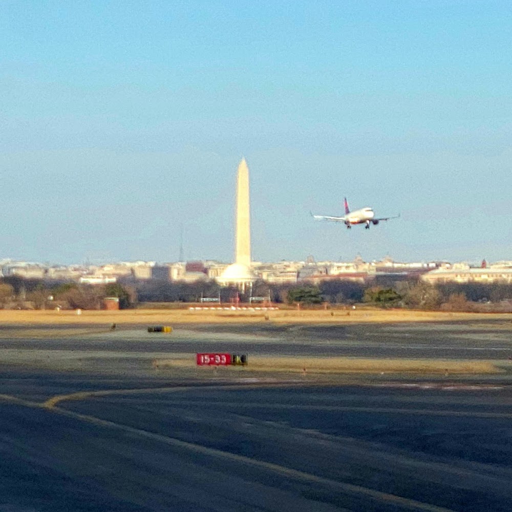
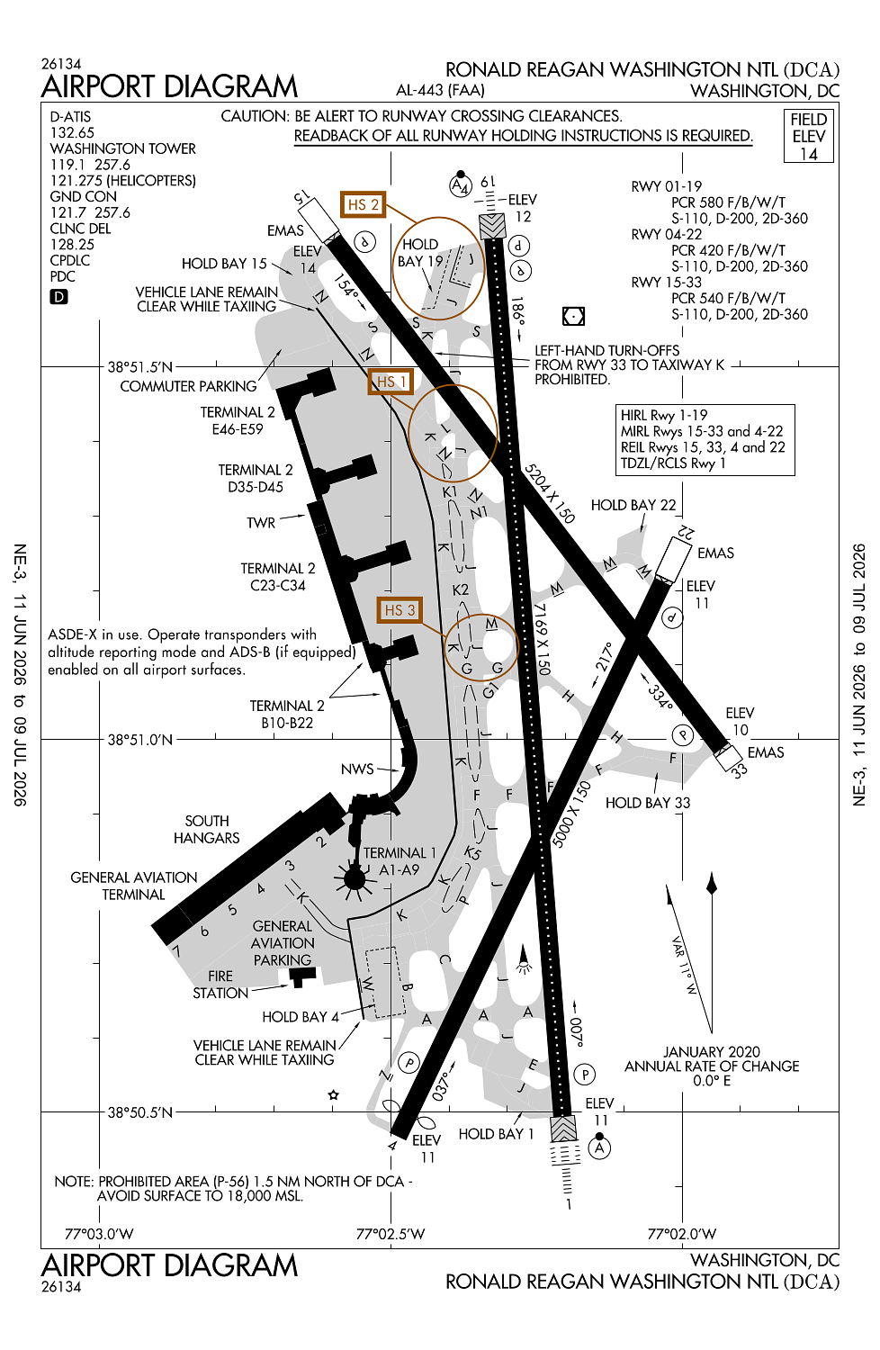
Runway 01/19:
7,169ft
Runway 15/33:
5,204ft
Runway 04/22:
5,000ft
Runway 19X:
0ft
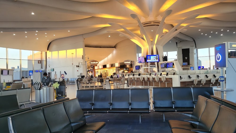
Access: Open to the public
Current Weather — VFR
-
Weather data is strictly informational and not for flight planning purposes.
-
METAR2026-07-16 16:52:00 EDT
Ceiling: 25,000ft Wind: 260° @ 11kt, gusts 16kt Temperature: 96°F Dewpoint: 69°F Weather: N/A Visbility: 10SM Clouds: Few @ 5,500ft, Broken @ 25,000ft Raw:METAR KDCA 162052Z 26011G16KT 10SM FEW055 BKN250 36/21 A2989 RMK AO2 SLP120 T03610211 56010 -
TAF2026-07-16 17:00:00 EDT – 2026-07-16 19:00:00 EDT
Ceiling: 25,000ft Wind: 260° @ 8kt, gusts 16kt Weather: N/A Visbility: 6SM Clouds: Few @ 5,000ft, Broken @ 25,000ft Raw:TAF KDCA 162107Z 1621/1724 26008G16KT P6SM FEW050 BKN250 FM162300 24007KT 6SM HZ SCT150 BKN250 FM170100 28004KT 5SM FU SCT150 BKN250 FM170300 35005KT 3SM FU SCT150 BKN250 FM171500 03003KT 4SM FU SCT150 BKN250 -
TAF2026-07-16 19:00:00 EDT – 2026-07-16 21:00:00 EDT
Ceiling: 25,000ft Wind: 240° @ 7kt Weather: Haze Visbility: 6SM Clouds: Scattered @ 15,000ft, Broken @ 25,000ft Raw:TAF KDCA 162107Z 1621/1724 26008G16KT P6SM FEW050 BKN250 FM162300 24007KT 6SM HZ SCT150 BKN250 FM170100 28004KT 5SM FU SCT150 BKN250 FM170300 35005KT 3SM FU SCT150 BKN250 FM171500 03003KT 4SM FU SCT150 BKN250 -
TAF2026-07-16 21:00:00 EDT – 2026-07-16 23:00:00 EDT
Ceiling: 25,000ft Wind: 280° @ 4kt Weather: Smoke Visbility: 5SM Clouds: Scattered @ 15,000ft, Broken @ 25,000ft Raw:TAF KDCA 162107Z 1621/1724 26008G16KT P6SM FEW050 BKN250 FM162300 24007KT 6SM HZ SCT150 BKN250 FM170100 28004KT 5SM FU SCT150 BKN250 FM170300 35005KT 3SM FU SCT150 BKN250 FM171500 03003KT 4SM FU SCT150 BKN250 -
TAF2026-07-16 23:00:00 EDT – 2026-07-17 11:00:00 EDT
Ceiling: 25,000ft Wind: 350° @ 5kt Weather: Smoke Visbility: 3SM Clouds: Scattered @ 15,000ft, Broken @ 25,000ft Raw:TAF KDCA 162107Z 1621/1724 26008G16KT P6SM FEW050 BKN250 FM162300 24007KT 6SM HZ SCT150 BKN250 FM170100 28004KT 5SM FU SCT150 BKN250 FM170300 35005KT 3SM FU SCT150 BKN250 FM171500 03003KT 4SM FU SCT150 BKN250 -
TAF2026-07-17 11:00:00 EDT – 2026-07-17 20:00:00 EDT
Ceiling: 25,000ft Wind: 030° @ 3kt Weather: Smoke Visbility: 4SM Clouds: Scattered @ 15,000ft, Broken @ 25,000ft Raw:TAF KDCA 162107Z 1621/1724 26008G16KT P6SM FEW050 BKN250 FM162300 24007KT 6SM HZ SCT150 BKN250 FM170100 28004KT 5SM FU SCT150 BKN250 FM170300 35005KT 3SM FU SCT150 BKN250 FM171500 03003KT 4SM FU SCT150 BKN250
Click/tap to add an annotation marker to the map
No webcams added yet.
Remarks
- Rwy 06 +53 ft trees 175 ft r @ thr.
- Lgt fm vehicle parking lot lctd 1000 ft sw of rwy 01 could give false indications of being part of rwy 01 apch lgt sys drg periods of reduced vis & low ceilings.
- Form 150r credit card for all rqrd svcs. no mil facs.
- Twy k ends at gate 5.
- Flocks of birds on & invof arpt; fqt gull & geese & duck populations ab over adj river areas.
Comments