Pirep is a free, collaborative database of all public and private airports. All pilots are welcome to contribute their local knowledge to any airport, no registration required.
Public
Undocumented
METAR / TAF
Webcam
Edit Tags
No upcoming events. Is anything happening here soon?
Airport Statistics
- General description
- Local flying clubs
- Crew car availability
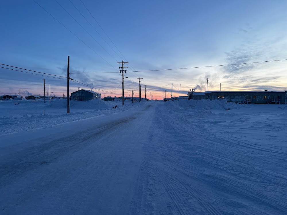
Location:
Nuiqsut, AK
Elevation:
45ft
Sectional:
Point Barrow
Activation date:
Jun 1977
Fuel:
None
Runway 05/23:
4,589ft
Access: Open to the public
Current Weather — LIFR
-
Weather data is strictly informational and not for flight planning purposes.
-
METAR2026-07-21 03:53:00 AKDT
Ceiling: 200ft Wind: 070° @ 13kt Temperature: 39°F Dewpoint: 39°F Weather: Fog Visbility: 0SM Clouds: Obscured @ 200ft Raw:METAR PAQT 211153Z AUTO 07013KT 1/4SM FG VV002 04/04 A3000 RMK AO2 RAE1054 SLP159 P0000 60000 T00440039 10089 20044 55007 TSNO $ -
TAF2026-07-21 04:00:00 AKDT – 2026-07-21 12:00:00 AKDT
Ceiling: 200ft Wind: 070° @ 18kt, gusts 28kt Weather: Fog Visbility: 0SM Clouds: Overcast @ 200ft Raw:TAF PAQT 211132Z 2112/2212 07018G28KT 1/2SM FG OVC002 FM212000 05011KT P6SM BKN004 BKN050 -
TAF2026-07-21 12:00:00 AKDT – 2026-07-22 04:00:00 AKDT
Ceiling: 400ft Wind: 050° @ 11kt Weather: N/A Visbility: 6SM Clouds: Broken @ 400ft, Broken @ 5,000ft Raw:TAF PAQT 211132Z 2112/2212 07018G28KT 1/2SM FG OVC002 FM212000 05011KT P6SM BKN004 BKN050
Click/tap to add an annotation marker to the map
Remarks
- Airspace determination pending.
- Birds & caribou on & invof arpt.
- Rwy cond unmnt; rcmd visual insp prior to lndg.
- 100 ft lighted twr 847 ft north of rwy 23 thr.
- Deadhorse fss lcl - 907 659-2401; fairbanks fss - 1-866-248-6516.
- Wx camera avbl on internet at https://weathercams.faa.gov.
- Actvt malsf rwy 05, reil rwy 23; papi rwy 05, 23; mirl rwy 05/23 - ctaf.
- Ext 342
Comments