Pirep is a free, collaborative database of all public and private airports. All pilots are welcome to contribute their local knowledge to any airport, no registration required.
Public
Undocumented
METAR / TAF
Webcam
Edit Tags
No upcoming events. Is anything happening here soon?
Airport Statistics
- Landing & tie-down fees
- Crew car availability
- WiFi availability
Location:
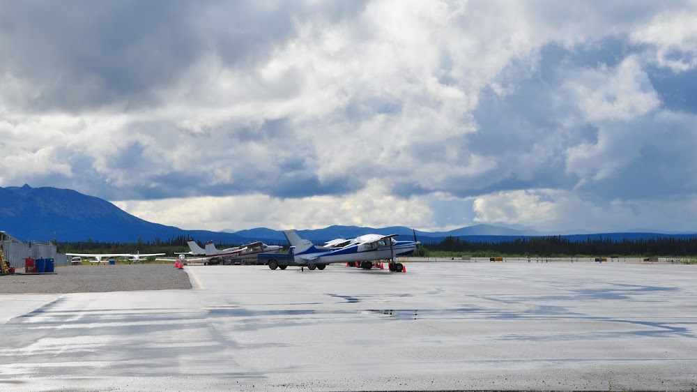
Mc Grath, AK
Elevation:
342ft
Sectional:
Mc Grath
Activation date:
Aug 1947
Fuel:
100LL, A1+ (prices)
Runway 16/34:
5,936ft
Runway 17/35:
5,936ft
Runway 05/23:
2,000ft
Access: Open to the public
Current Weather — VFR
-
Weather data is strictly informational and not for flight planning purposes.
-
METAR2026-07-21 07:53:00 AKDT
Ceiling: 5,500ft Wind: Calm Temperature: 50°F Dewpoint: 48°F Weather: N/A Visbility: 10SM Clouds: Overcast @ 5,500ft Raw:METAR PAMC 211553Z AUTO 00000KT 10SM OVC055 10/09 A2994 RMK AO2 SLP144 T01000089 TSNO -
TAF2026-07-21 04:00:00 AKDT – 2026-07-21 12:00:00 AKDT
Ceiling: 6,000ft Wind: 140° @ 4kt Weather: N/A Visbility: 6SM Clouds: Broken @ 6,000ft, Overcast @ 10,000ft Raw:TAF PAMC 211132Z 2112/2212 14004KT P6SM BKN060 OVC100 FM212000 11007KT P6SM VCSH OVC050 FM220000 13009KT P6SM -RA OVC035 -
TAF2026-07-21 12:00:00 AKDT – 2026-07-21 16:00:00 AKDT
Ceiling: 5,000ft Wind: 110° @ 7kt Weather: Showers in vicinity Visbility: 6SM Clouds: Overcast @ 5,000ft Raw:TAF PAMC 211132Z 2112/2212 14004KT P6SM BKN060 OVC100 FM212000 11007KT P6SM VCSH OVC050 FM220000 13009KT P6SM -RA OVC035 -
TAF2026-07-21 16:00:00 AKDT – 2026-07-22 04:00:00 AKDT
Ceiling: 3,500ft Wind: 130° @ 9kt Weather: Light rain Visbility: 6SM Clouds: Overcast @ 3,500ft Raw:TAF PAMC 211132Z 2112/2212 14004KT P6SM BKN060 OVC100 FM212000 11007KT P6SM VCSH OVC050 FM220000 13009KT P6SM -RA OVC035
Click/tap to add an annotation marker to the map
Remarks
- Water fowl on & invof arpt spring-fall; moose invof arpt.
- Fire attack ops durg summer.
- Migratory water fowl on & invof arpt spring thru fall.
- Rwy cond unmnt; rcmd visual insp bfr lndg.
- Clsd to acr gtr than 30 pax seats.
- Paew on rwy.
- Apron tsnt prkg mkd by green cones.
- Wx camera avbl on internet at https://weathercams.faa.gov/.
Comments