Pirep is a free, collaborative database of all public and private airports. All pilots are welcome to contribute their local knowledge to any airport, no registration required.
Public
Undocumented
METAR / TAF
Webcam
Edit Tags
No upcoming events. Is anything happening here soon?
Airport Statistics
- Landing & tie-down fees
- Local flying clubs
- Fuel pump location
Location:
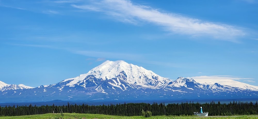
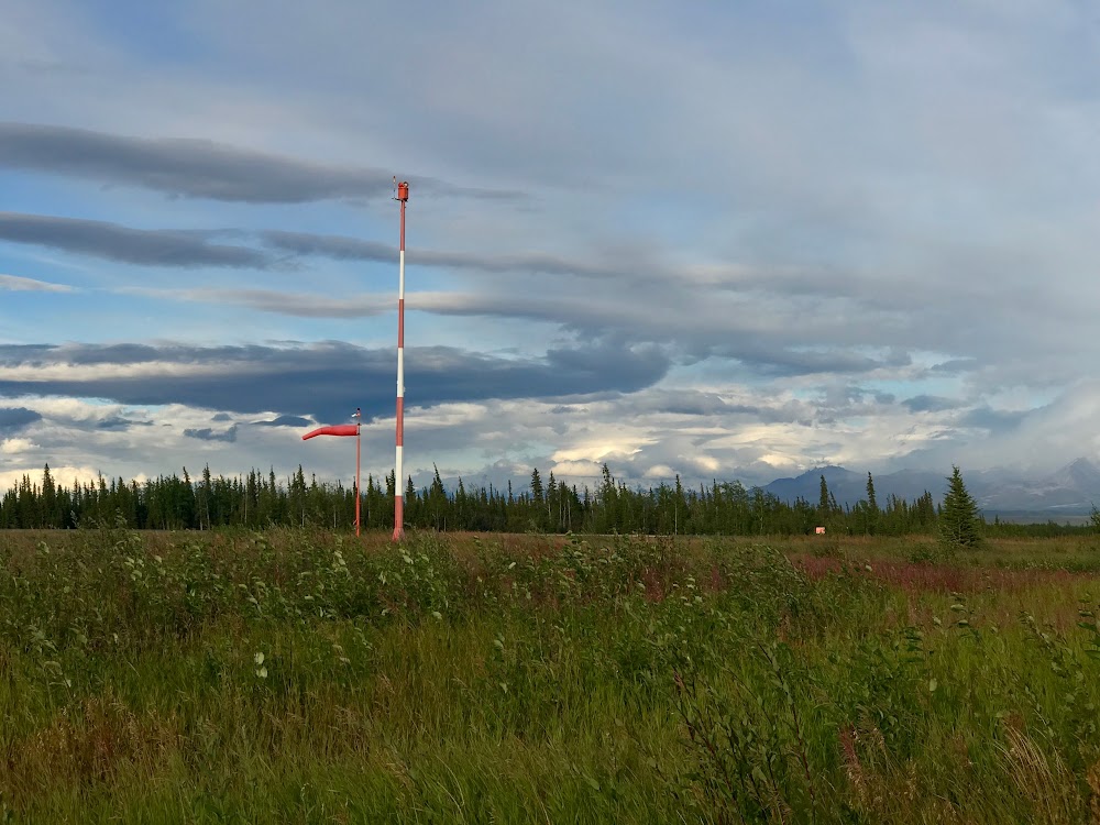
Gulkana, AK
Elevation:
1,586ft
Sectional:
Anchorage
Activation date:
Jul 1947
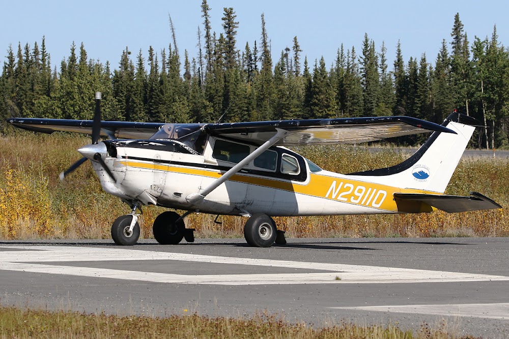
Fuel:
100LL, A (prices)
Runway 15L/33R:
5,001ft
Runway 15R/33L:
2,300ft
Access: Open to the public
Current Weather — VFR
-
Weather data is strictly informational and not for flight planning purposes.
-
METAR2026-07-01 01:53:00 AKDT
Ceiling: 7,000ft Wind: 160° @ 3kt Temperature: 46°F Dewpoint: 44°F Weather: Light rain Visbility: 10SM Clouds: Scattered @ 5,500ft, Overcast @ 7,000ft Raw:METAR PAGK 010953Z AUTO 16003KT 10SM -RA SCT055 OVC070 08/07 A2993 RMK AO2 SLP141 P0000 T00830067 TSNO -
TAF2026-06-30 22:00:00 AKDT – 2026-07-01 00:00:00 AKDT
Ceiling: 10,000ft Wind: 260° @ 6kt Weather: N/A Visbility: 6SM Clouds: Scattered @ 2,500ft, Broken @ 10,000ft Raw:TAF PAGK 010535Z 0106/0206 26006KT P6SM SCT025 BKN100 TEMPO 0106/0108 16007KT FM010800 27004KT 6SM -RA SCT015 OVC025 FM012000 02009KT P6SM VCSH SCT025 BKN040 -
TAF2026-06-30 22:00:00 AKDT – 2026-07-01 00:00:00 AKDT
Ceiling: Sky clear Wind: 160° @ 7kt Weather: N/A Visbility: SM Raw:TAF PAGK 010535Z 0106/0206 26006KT P6SM SCT025 BKN100 TEMPO 0106/0108 16007KT FM010800 27004KT 6SM -RA SCT015 OVC025 FM012000 02009KT P6SM VCSH SCT025 BKN040 -
TAF2026-07-01 00:00:00 AKDT – 2026-07-01 12:00:00 AKDT
Ceiling: 2,500ft Wind: 270° @ 4kt Weather: Light rain Visbility: 6SM Clouds: Scattered @ 1,500ft, Overcast @ 2,500ft Raw:TAF PAGK 010535Z 0106/0206 26006KT P6SM SCT025 BKN100 TEMPO 0106/0108 16007KT FM010800 27004KT 6SM -RA SCT015 OVC025 FM012000 02009KT P6SM VCSH SCT025 BKN040 -
TAF2026-07-01 12:00:00 AKDT – 2026-07-01 22:00:00 AKDT
Ceiling: 4,000ft Wind: 020° @ 9kt Weather: Showers in vicinity Visbility: 6SM Clouds: Scattered @ 2,500ft, Broken @ 4,000ft Raw:TAF PAGK 010535Z 0106/0206 26006KT P6SM SCT025 BKN100 TEMPO 0106/0108 16007KT FM010800 27004KT 6SM -RA SCT015 OVC025 FM012000 02009KT P6SM VCSH SCT025 BKN040
Click/tap to add an annotation marker to the map
Remarks
- Lctd 4 sm ne of glennallen.
- Birds & wildlife on & invof arpt. paew on rwy.
- Rwy 15r/33l is maintained as ski strip in winter and grvl strip the remainder of the year. visual inspection reqd before lndg. beacon twr and other obstacles on n apch end.
- Moose & caribou on & around arpt.
- Personnel and equipment may be working on rwy at any time.
- Rwy conds unmnt; rcmd visual insp bfr lndg.
- Wx camera avbl on internet at https://weathercams.faa.gov
- Suais 125.3/126.3 (1-800-758-8723).
Comments