1U1 - Moose Creek /Usfs/

Pirep is a free, collaborative database of all public and private airports. All pilots are welcome to contribute their local knowledge to any airport, no registration required.
Uploaded photos will be licensed under a CC BY-SA 4.0 license. Please only upload photos you have the rights to use.
Tags
Featured
Public
Camping
Fishing
Edit Tags
Food
Lodging
Car Rental
Bicycles
Swimming
Golfing
Hot Springs
Museum
Flying Clubs
Airpark
Upcoming Events
No upcoming events. Is anything happening here soon?
*
*
*

Where exactly on/near the airport is this event taking place?

Is there a webpage with more information for this event?

Who should be contacted for more information?

What is this event all about?

Repeat every
Description
||

Moose Creek is a backcountry airport with excellent access. Its longest runway is 4,000ft and it has a lower elevation than most other Idaho backcountry airports making summer density altitude problems less pronounced (although they certainly still exist!).

There is ample space for camping as nearby access to hiking. To the west of the airport exists two suspension bridges for crossing Moose Creek and the Selway River. To the north is the Shissler Peak fire lookout which is manned in the summer.

On the east side of the field is the USFS guard station with a herd of horses. Clean water is available and inside the office is a collection of historical documents related to the airfield and Idaho backcountry aviation in general.

Last updated: 2023-06-22 13:14:44 PDT
Transient Parking
||

Parking is available generally on the west end of the airport. There are numerous campsites located between the two runways on the west end as well as on the northwest side. Be mindful of rough grounds off of the runways while parking for a campsite.

Last updated: 2023-03-06 12:45:06 PST
Fuel Location
||
Landing & Tie-down Fees
||
Crew Car Availability
||
Flying Clubs
||
WiFi Access
||
Airport Statistics
Location: 
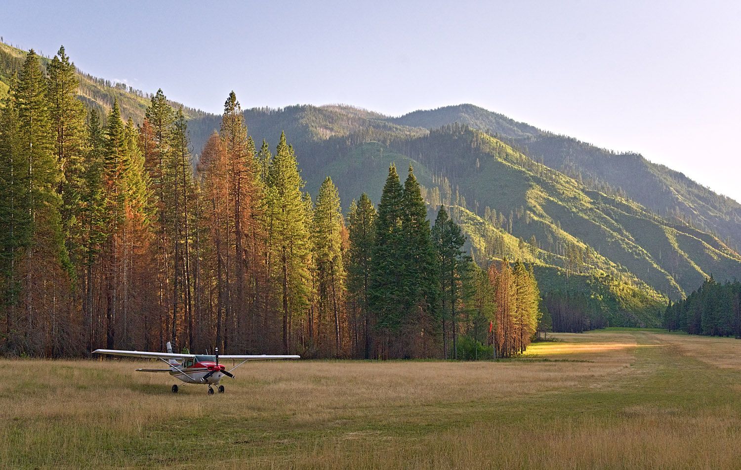
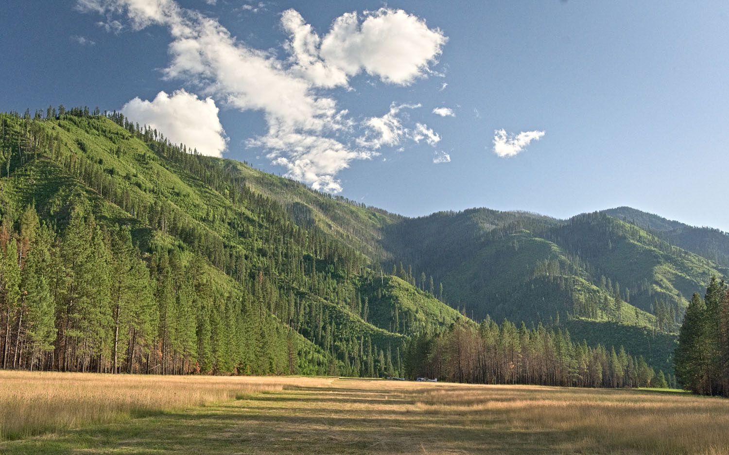
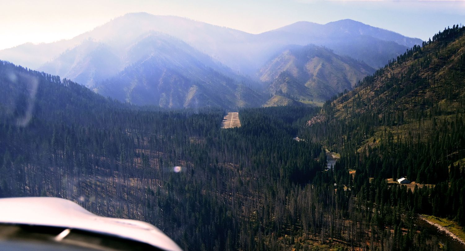
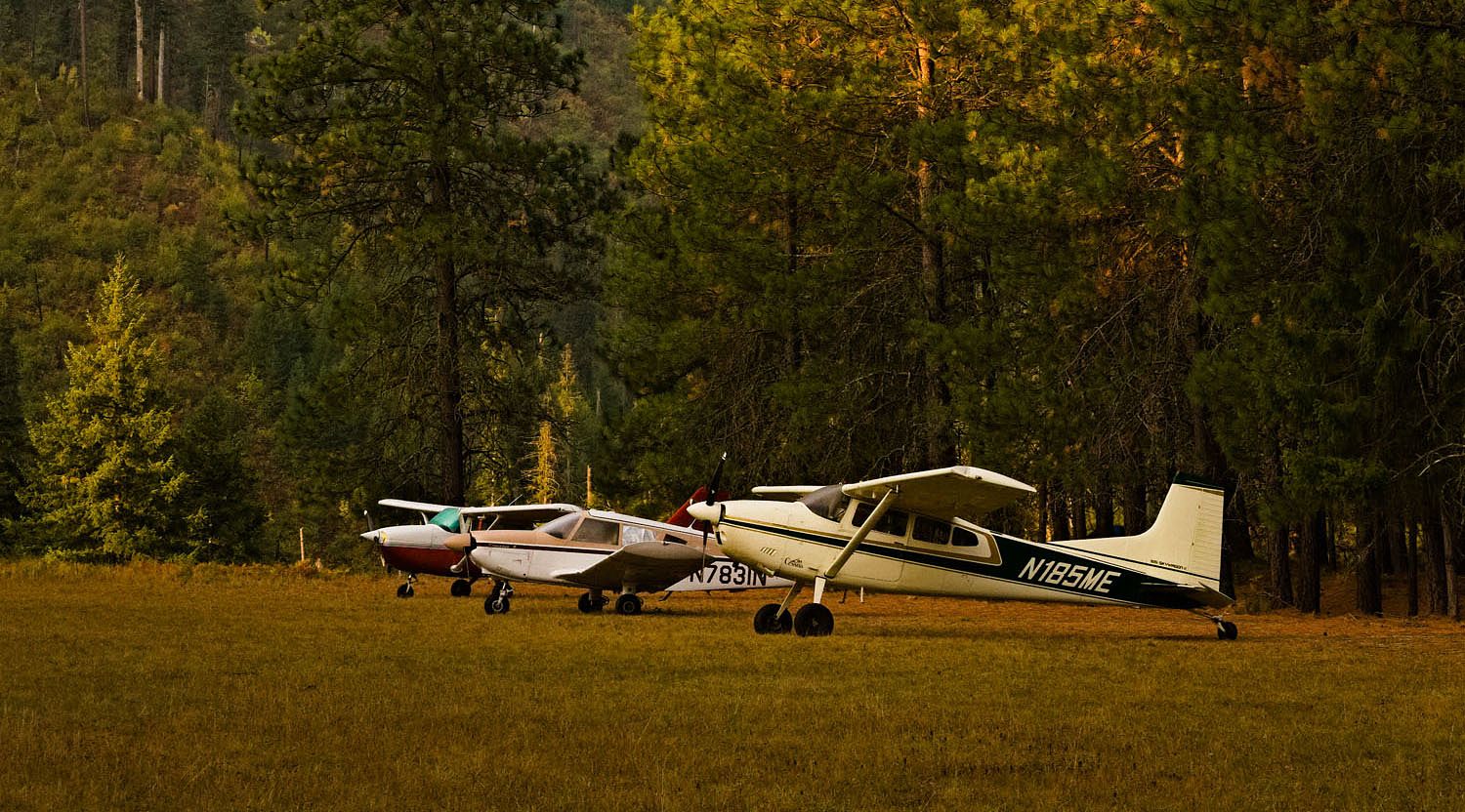
Moose Creek Ranger Station, ID
Elevation: 2,454ft
Sectional: Great Falls
Activation date: Apr 1940
Fuel: None
Runway 01/19: 4,100ft
Runway 04/22: 2,300ft
Access: Open to the public
Similar Airports
Click/tap to add an annotation marker to the map
Airport Webcams
No webcams added yet.
Direct links to live image URLs will be displayed inline on this page. URLs to separate webpages will be linked to.
URL:
Direct links to live image URLs will be displayed inline on this page. URLs to separate webpages will be linked to.
URL:
Remarks
Comments
Leave a comment What was your experience like at this airport?